

|
Only have a minute? Listen instead
Getting your Trinity Audio player ready...
|
The “polar express” has pulled into the station, maybe a little ahead of schedule and more assertively than meteorologists had predicted last week.
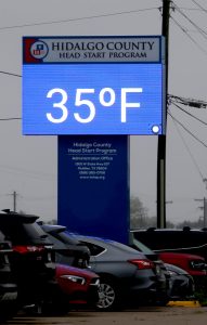
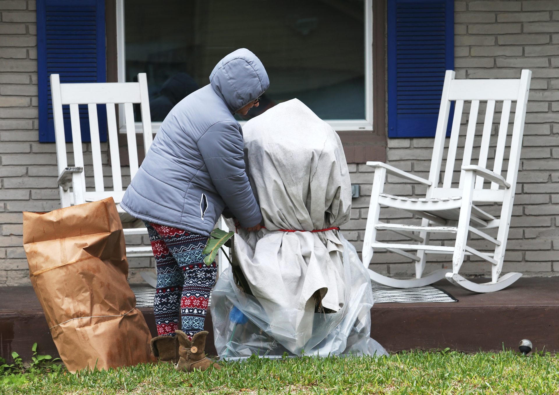
In the Lower Valley, strong north winds ramped up during the early morning hours Monday, sending the mercury plummeting from the mid-60s at midnight to the high 30s/low 40s by noon. Temperatures started falling in the Upper Valley an hour or so earlier, with McAllen at freezing mark by 8 a.m. before a slight rebound to the high 30s/low 40s and falling wind speeds later in the evening.
The Arctic blast is bringing with it the coldest temperatures of the season so far, according to the National Weather Service Brownsville-RGV station, which reports growing confidence in a freeze or hard freeze for the northern ranch lands of deep South Texas and portions of the Valley Tuesday and Wednesday mornings.
Extremely cold wind chills were forecast for both mornings, with a Freeze Watch and Wind Chill Watch in effect from late Monday through Tuesday morning, and a Gale Watch in effect from Monday night through Tuesday afternoon. Meteorologists said most of deep South Texas was in for a freeze Tuesday and Wednesday morning, with a 70% or greater chance of a freeze or hard freeze across the northern ranch lands and parts of the mid- to Upper Valley.
For the ranch lands and Upper Valley, the NWS had high confidence (70-80%) for freezing conditions Tuesday morning and an 80% likelihood of a freeze or 32 degrees or less Wednesday. Meteorologists expressed medium confidence (40-60%) that the area would experience a hard freeze (28 degrees or lower) Tuesday morning, but high confidence (70% or higher) that a hard freeze would strike the area Wednesday morning.
The NWS said there was low to medium confidence (20-60%) in a freeze for the mid- and Lower Valley Tuesday morning, but medium to high confidence (40-60%) in a freeze Wednesday morning. Meteorologists had low confidence (30% or less) in a hard freeze for those portions of the Valley Tuesday morning, and low to medium confidence (30-50%) for a hard freeze on Wednesday morning.
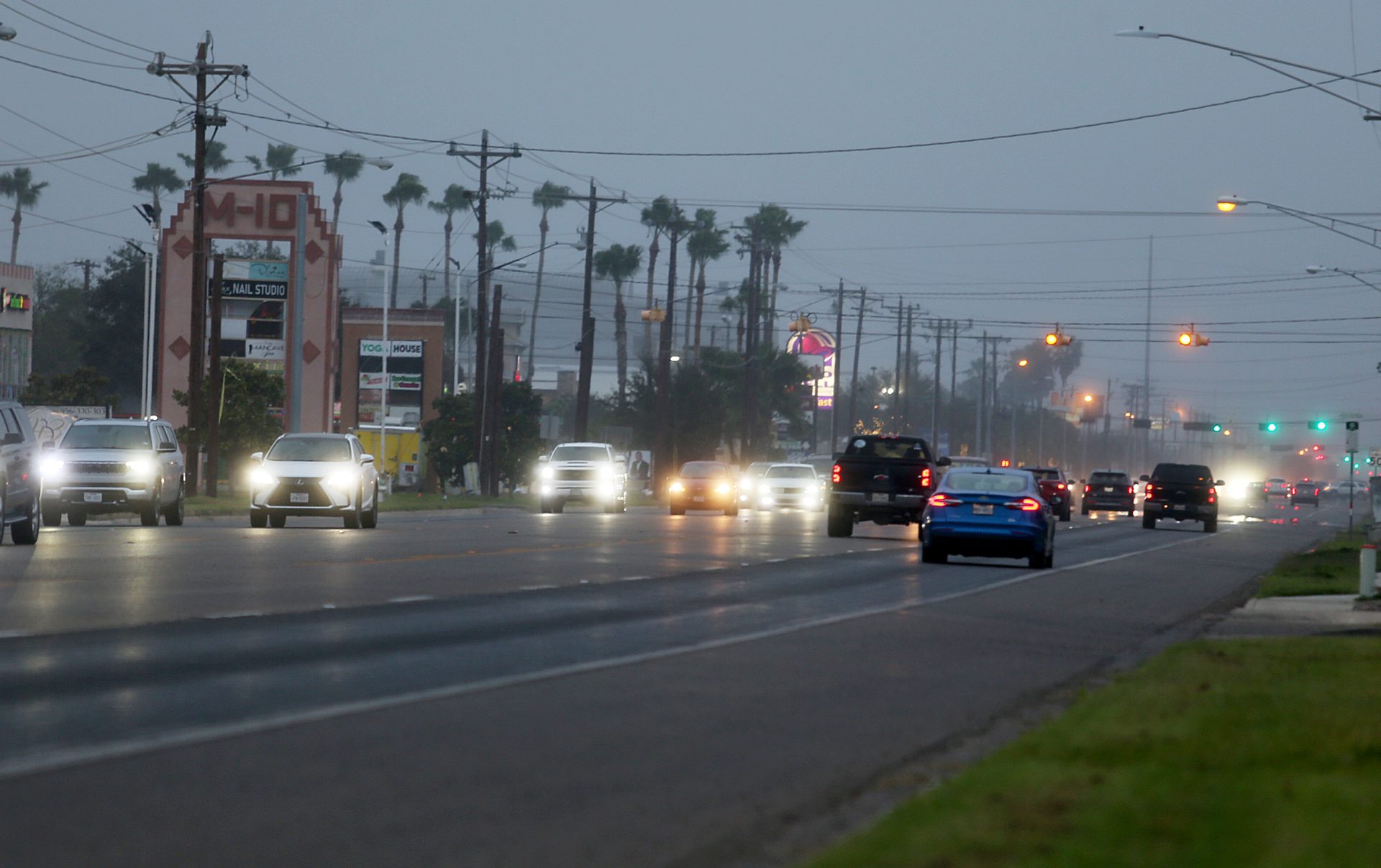
Life-threatening wind chills (feels-like temperatures) were expected Monday night into Tuesday morning and Tuesday night into Wednesday morning, with periods of light precipitation developing Monday night into Tuesday, and for the Lower Valley a slight chance light rain/drizzle will transition into light freezing rain/freezing drizzle, forecasters said.
“Light rain is expected to develop after midnight, mainly along and southeast of a Sarita-to-McAllen line,” the NWS said.
The highest potential for a transition to freezing precipitation is between 3 a.m. to 8 a.m. Tuesday, meteorologists predicted, adding that if it happens, “a very light icing on elevated or untreated bridges will be possible.”
All of Texas is feeling the lash of the Arctic blast, unseasonable cold that just gets colder the farther north one travels. Austin, for instance, was looking at lows well below 20 degrees Tuesday and Wednesday morning, the NWS said. All of it stresses the grid, leading to the Electric Reliability Council of Texas — once again — to call for voluntary conservation during peak load.
The Public Utility Commission of Texas (PUCT) chimed in Monday, asking Texans to conserve electricity if it’s safe to do so between 6 a.m. and 9 a.m. Tuesday, due to falling temperatures and higher electricity demand as residents return to work and schools reopen after Martin Luther King Jr. Day.
ERCOT, which manages about 90% of the state’s electric load, said it was not experiencing emergency conditions as of noon Monday thanks to “conservation efforts by Texas residents and businesses, combined with additional grid reliability tools.”
“ERCOT is expecting similar conditions on Wednesday, and the PUCT and ERCOT will continue to closely monitor conditions and keep the public informed through our communication channels,” the group said. “ERCOT will remain vigilant and communicate further if conditions change due to continued freezing temperatures and very high demand in the morning hours. ERCOT is requesting all government agencies, including city and county offices, implement all programs to reduce energy use at their facilities.”
According to the Brownsville Public Utilities Board, residents can save electricity by setting thermostats “a couple of degrees lower,” turning off and/or unplugging non-essential lights and appliances, and avoiding operating large appliances such as washer, dryers and electric ovens during peak energy demand when it’s coldest, 6 a.m. to 10 a.m.
Grid conditions can be monitored at ercot.com, where residents may also sign up for grid notifications through ERCOT’s Texas Advisory and Notification System (TXANS).


