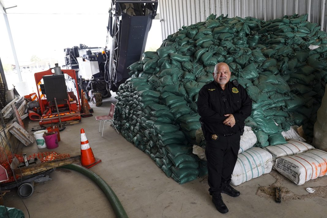
All dressed up, and nowhere to blow.
Forecasts for the Atlantic hurricane season all predicted above-average activity in the basin, with somewhere between 16 and 20 named storms (AccuWeather) and 14 to 21 named storms (NOAA).
But a curious thing happened in the first part of the season.
No Atlantic named storm has occurred since Colin weakened to a tropical depression on July 2. Only four times in the past 30 years has the Atlantic spawned no named storm activity between July 3 and Aug. 3, says Philip Klotzbach, a meteorologist at Colorado State University who specializes in the Atlantic basin.
So what eventually happened in those similar scenarios?
1993: A below-average season, with just eight named storms.
1999: The year became a very active season, with five Category 4 hurricanes (tying the record of 1961) and 12 named storms.
2000: Became fairly active, with 13 named storms.
2009: Below normal, with just seven named storms.
So, historically speaking, it breaks 50-50. But hurricane experts are standing by their initial forecasts for the 2022 season nonetheless.
“The Atlantic Hurricane season is progressing a little ahead of schedule with three named storms so far,” AccuWeather Senior Meteorologist Bob Smerbeck said via email. “According to the National Hurricane Center, the average date of the third named storm of the season is Aug. 3, while the average date of the first hurricane of the season is Aug. 11.”
“The season usually ramps up in August when African dust and wind shear lessen across the Atlantic basin,” he added. “We have no changes to our AccuWeather Atlantic Hurricane Season forecast and we continue to predict an above-normal season with 16 to 20 named storms, six to eight hurricanes, three to five major hurricanes, and four to six direct impacts on the U.S.”
A normal year for the Atlantic basin is 14 named storms, seven hurricanes, three major hurricanes and about 3.5 direct hits on U.S. shores, Smerbeck said.
Keys to season
Three key indicators support the active season forecast.
One is waters in the Gulf of Mexico are warmer than average, although parts of the Atlantic are slightly cooler than previously predicted.
Secondly, for the third straight year, the Pacific Ocean weather phenomenon known as La Nina will continue to be a dominant factor in global weather patterns. La Nina is the cold-water doppelganger of El Nino, the warm-water pool that occurs in the same area of the Pacific.
“We do expect La Nina actually to strengthen a little bit during the latter part of the peak of the tropical season, meaning mid-fall, and it could have some impacts as far as the tropical season,” AccuWeather Senior Meteorologist Paul Pastelok said. Typically, La Nina favors tropical activity across the Atlantic basin, which could lead to a higher threat of landfalling tropical systems for the rest of the season.”

The third factor is the high pressure bubble that sits persistently over the central Atlantic in summer known as the Bermuda High.
The Bermuda High has been stronger than normal this summer and that pushes tropical disturbances to track farther south. The high is projected to weaken this fall, increasing the chances for tropical systems to curve toward the U.S. mainland.
Pastelok said the way the tropics are setting up, the brunt of storms making landfall will probably range from Florida to the Carolinas.
But that doesn’t mean we’re free and clear here.
Pastelok said that there could be “one big system” that could make landfall in Texas or Louisiana.
Adjusting numbers
Matthew Rosencrans, lead hurricane season outlook forecaster for the National Oceanic and Atmospheric Administration’s Climate Prediction Center, gave the federal government’s mid-season hurricane update Thursday.
The slight change in the forecast for the 2022 Atlantic season is a reduction in total number of named storms from 14 to 21 to between 14 and 20. The reason? Water temperatures in the Atlantic Ocean are not as warm as anticipated.
“Atmospheric and oceanic conditions still favor an above-normal 2022 Atlantic hurricane season,” Rosencrans said. “We have slightly decreased the chances from above-average season from 65 percent down to 60 percent. The likelihood of near-normal activity has now risen from 25 percent to 30 percent, while the chances remain at 10 percent for a below-normal season.”
Of the named storms, Rosencrans said the climate center predicts six to 10 to become hurricanes, with three to five of them becoming major hurricanes, categories 3, 4 or 5 on the Saffir-Simpson scale.
“The main reason why we decreased the values there is we’ve seen a bit of more variability in the sea surface temperatures in the Atlantic,” Rosencrans said. “There’s been a bit of cooler water that is going to come in from the extra-tropical Atlantic and it is impacting some of these main development regions in the Atlantic.”
“Initially, in May, sea surface temperatures were forecast to be above normal, now they’re forecast to be closer to normal, with only kind of periods of above normal,” he added. “So that can kind of mitigate some of the activity in the season.”
Hurricane season began June 1 and ends Nov. 30.


