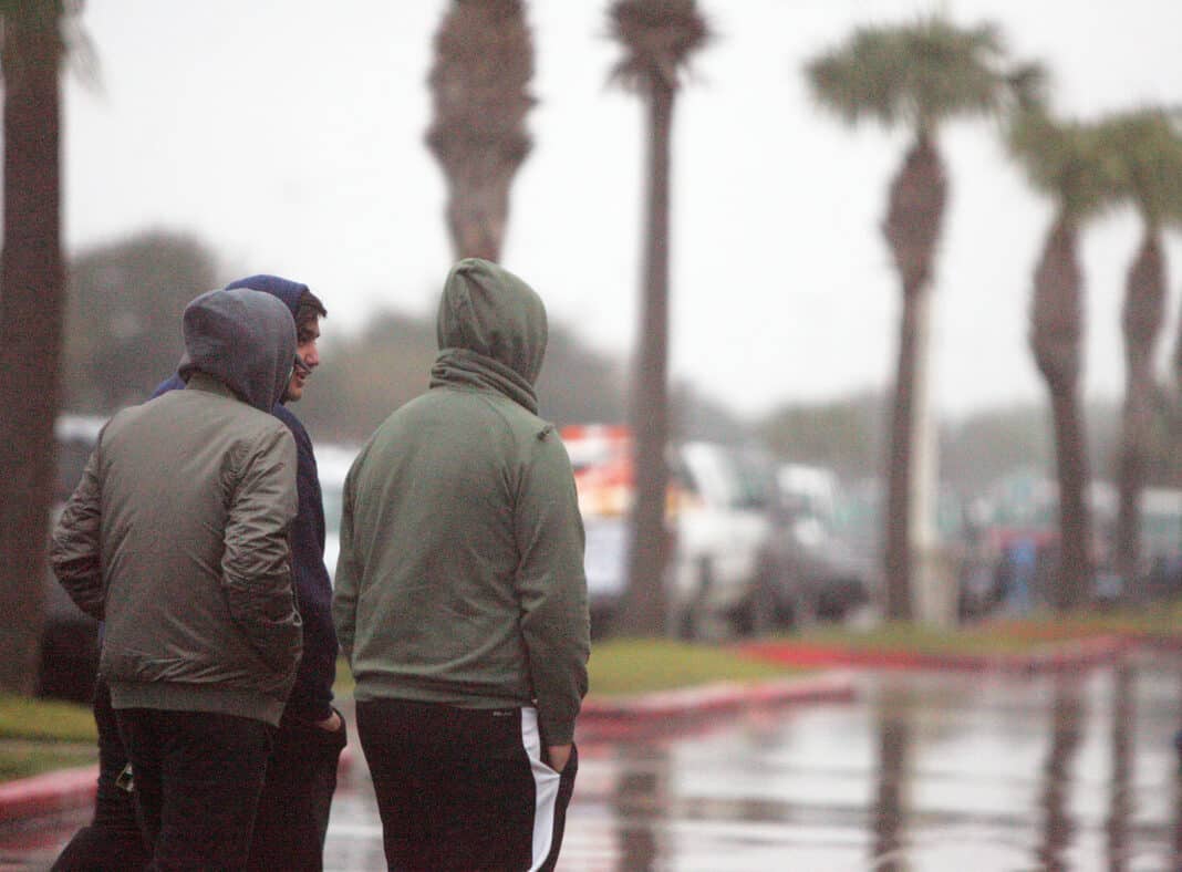
Get ready for some rainy days in September.
The National Weather Service in Brownsville reports the Rio Grande Valley can expect rainfall beginning on Sunday and continuing to next Thursday morning.
Amber McGinnis, an NWS meteorologist, writes the potential for heavy rainfall and minor flooding will increase late this weekend and continue into next week.
McGinnis states the rain will be brought in by an upper level disturbance and tropical wave as it moves westward over the Gulf of Mexico and Deep South Texas.
“The heaviest rainfall will likely be more confined to the coastal areas, especially Sunday through Tuesday. Isolated flash flooding will be possible, especially with heavy thunderstorms.”
For the lower Valley, there’s a 50% chance of thunderstorms on Saturday night and an 80% chance of thunderstorms on Sunday, Sunday night and on Monday.
For the McAllen area there’s a 30% chance of thunderstorms on Saturday night and a 60% chance of thunderstorms for Sunday, Sunday night and a 70% chance of thunderstorms on Monday.
In the Harlingen area, there’s a 50% chance of thunderstorms on Saturday night. That increases to an 80% chance of thunderstorms on Sunday, Sunday night and Monday.
Potential threats and impacts include:
>> Rainfall of 3-6”, mainly along the coast, with locally higher amounts;
>> Flash flooding and minor flooding, especially across low-lying and poor-draining areas;
>> Lack of rain in recent weeks has allowed for oil to accumulate on roadways potentially increasing the risk of losing control of vehicles;
>>Occasional to frequent cloud to ground lightning during thunderstorms.
McGinnis states residents should begin preparing for the rain by doing the following:
>> Check tire tread wear and pressure and repair/replace;
>> Check brake pads/shoes for wear and replace if needed;
>> Check windshield wipers for dry rot and replace immediately to give a clear view;
>> Remember: Visibility and Traction Leave Time for Reaction;
>> Remove debris from drainage ditches, cleanouts, and canals to be on the safe side;
>> Plan to delay or postpone outdoor activities. Have an indoor “Plan B” away from locations where water could rise inside;
>> In areas where heavier bands develop, nuisance flooding of poor drainage locations is possible;
>> Residents with NOAA weather radios or other apps in the affected area should have them in “alert” in case flood warnings are issued.


