

|
Only have a minute? Listen instead
Getting your Trinity Audio player ready...
|
The latest three-month outlook for the Rio Grande Valley and deep South Texas ranch country from the National Weather Service Brownsville-RGV station notes the window is closing on the chance for a tropical event to help refill the depleted Amistad and Falcon reservoirs upriver.
NWS meteorologists Barry Goldsmith and Andrei Evbuoma, who produced the outlook for autumn, wrote that “the clock is now ticking down on the opportunity for substantial rain to fall over inflow regions for Falcon and Amistad.”
September, on average the wettest month, offers the best hope, though long-range forecasts have consistently shown limited (if any) opportunities during the month for the type, intensity and persistence of rain needed to lift the Valley out of its persistent water-resource crisis, they said.
“Beyond mid-to late September, confidence is increasing on turning the spigot off (from whatever occurs in September) for October, November and beyond,” the meteorologists said. “In short, the dominant story of water shortages — and the need to find solutions — will remain.”
For the Valley, data indicates September should have at least average area-wide rainfall, ranging on average from 4.5 inches in brush country and the Rio Grande plains to about 6 inches in the Lower Valley up to Kenedy County, NWS said.
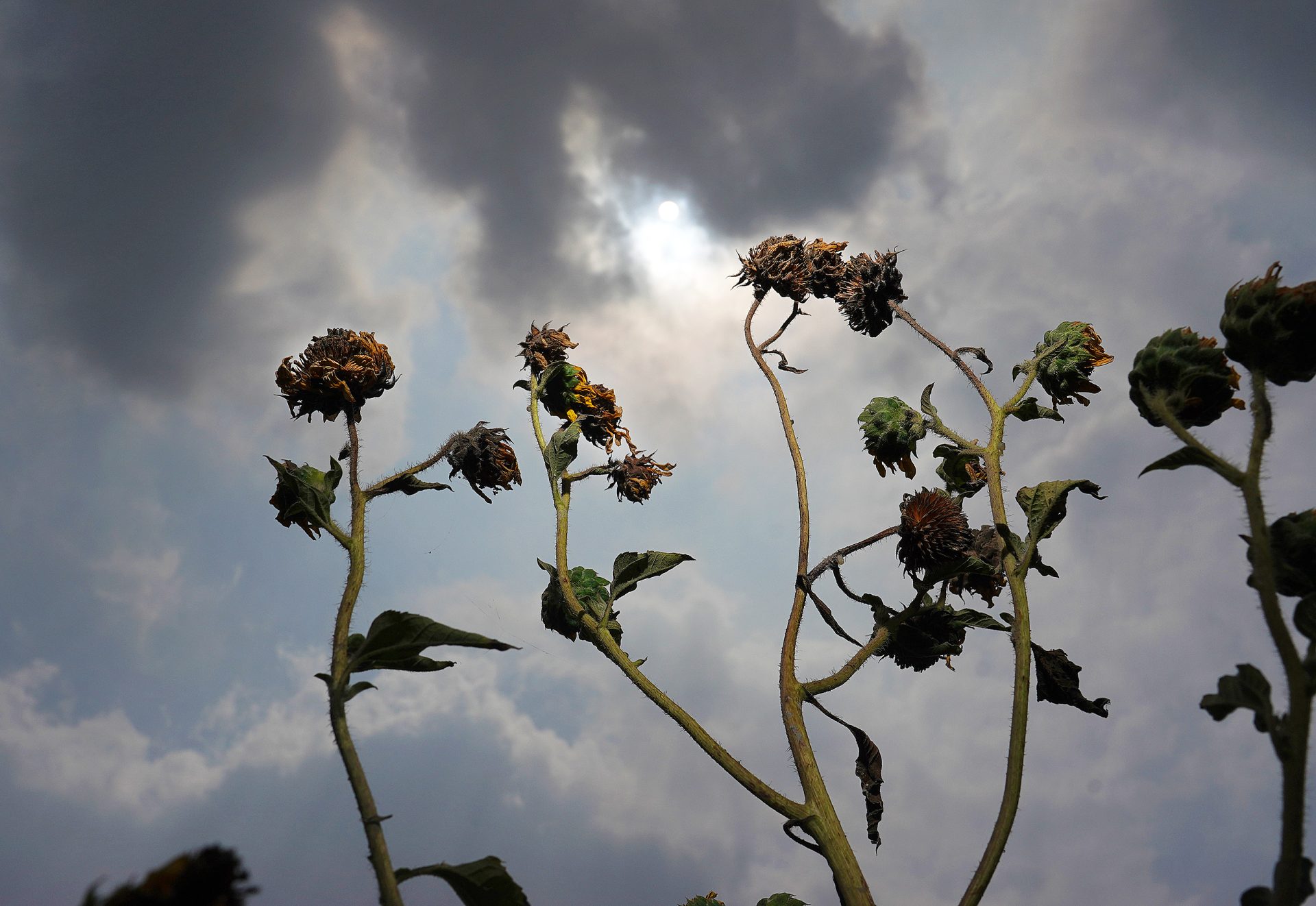
While that would be enough to “temporarily reduce local dryness,” largely rain-free and warmer-than-average weather in October and November “would quickly return dryness, then drought, to the region,” the meteorologists said. Under that scenario, grass and brush would become dry tinder, perfect for wildfires to burn and spread in low-humidity, windy conditions by November and beyond, they said.
Among the outlook’s key points are warmer-than-normal temperatures expected for September through November, and average to slightly above average rainfall for September, though the forecast leans dry for October and November. Locally, torrential rainfall is possible in September, which could cause flash flooding in urban and poor-drainage areas, according to the outlook.
“The time for necessary rains to help Amistad and Falcon is running out, as the potential for remnant, dwelling moisture from a tropical cyclone event is ending,” the meteorologists said. “Confidence is high that total combined (water) storage will remain at or near record lows through November.”
Likewise confidence is growing for a warm and mostly rain-free end to 2024, they said. That means any gains in water storage probably would soon revert to modest to steady decreases next year and continuing water supply crisis for many residents, according to the outlook.
An “unsettled weather pattern” that started this week, and which is expected to persist into early September, may provide temporary to parched short-grass areas, though it’s really hit or miss, Evbuoma and Goldsmith wrote, noting that there is potential for an active late autumn/early winter wildlife season.
The NWS recommends maintaining heat safety awareness through October, even as temperatures gradually begin to fall.
“Fronts with cooler air can be expected, especially by November,” the meteorologists said. “The potential for a sharp cold front … increases during the last two weeks of November.”
A cold front in this case is defined as the actual temperature and “feels like” temperature dropping 40 degrees or more in a day, they said.
Finally, they recommended maintaining awareness of the need for water conservation and the potential for wildfires.
“Conserve water as often as possible — at home, at work and on the farm or ranch,” the meteorologists said. “Review wildfire prevention and wildfire safety practices now to be ready as we get deeper into autumn.”


