

|
Only have a minute? Listen instead
Getting your Trinity Audio player ready...
|
The June-August outlook from the National Weather Service Brownsville-Rio Grande Valley, released May Monday, predicts more of the same in terms of extremely hot and dry conditions in deep South Texas through at least mid-July.
Meteorologists expressed high confidence in a hotter-than-average June through August, with June through mid-July 2024 essentially a repeat of the same period in 2022 and 2023, according to the outlook, which expresses only low to medium confidence in the rainfall picture for the entire season due to the potential for a “pattern shift” after mid-July that could let in tropical moisture at a minimum and hurricanes at a maximum, peaking in August.
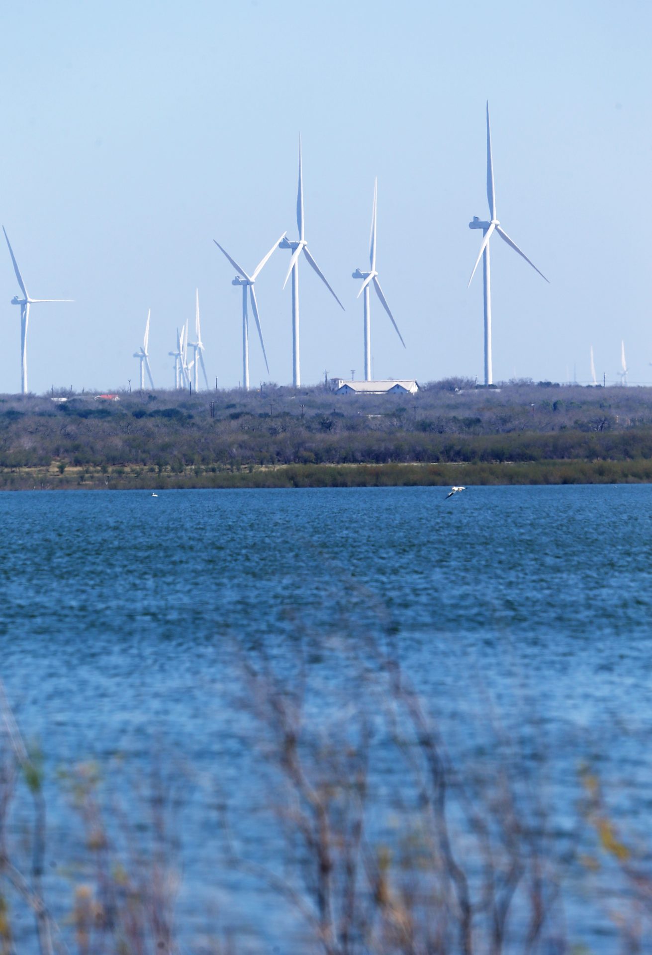
Rain from that would be massively beneficial for the Valley, and if rain makes it far enough inland, Amistad and Falcon reservoirs, which are at or near historically low levels, according to the NWS. Without some relief in the form of tropical precipitation, the Valley’s $1 billion-plus agricultural industry and a growing number of municipalities that depend on water from the Rio Grande Basin “will truly be in dire straits,” NWS Warning Coordination Meteorologist Barry Goldsmith wrote in the outlook.
“The impact from the heat and lack of rainfall, combined with record low reservoir levels at Amistad and Falcon — and limited water in larger Mexican reservoirs … that feed the Rio Grande per the 1944 Treaty — is putting unprecedented stress on agricultural and an increasing number of municipal water supplies,” he said. “Unfortunately, June into mid July look to be a continuation of April and May.”
As of May 26, Falcon’s total bi-national conservation storage had dropped to 8.8% and Amistad’s to just over 20%. These are record low water levels for that calendar day, and may be at or near record lows for an entire normal calendar year, according to the NWS.
May has been “off the charts” temperature-wise, with an average 2 to 3.5 degrees higher than previous records through May 26. May temperature averages for Brownsville and McAllen were within the top 20 hottest all-time — for the first 26 days of July. Read that again: May was as hot as the top-10 hottest Julys on record for the Valley.
The NWS warns the biggest cause for concern is worsening water crisis, with local states of emergency already in effect for drought/water issues in Cameron, Hidalgo and Willacy counties.
“The expectation of continued record to near-record low reservoir levels with little to no soil moisture across the critical growing areas of the Valley argue for this to become our reality through mid-July,” Goldsmith said.
While it’s a difficult to quantify the extent of crop and livestock production loss from historically low reservoir levels, high evaporation rates, record heat and below-average rainfall, a 2023 report from Texas A&M’s Center for North American studies projects a $495.8 million direct loss from a complete lack of irrigation in 2024, and a total loss of nearly $1 billion, according to the NWS.
All eyes will be on the tropics between late July and August for any sign of relief. Meteorologists are calling the period a “wild card” because of what is expected to be a very busy peak of the 2024 Atlantic hurricane season. The odds of the Valley being affected by a tropical cyclone will be “notably higher than the long-term average,” though still less than 50% taking into account landfall strikes in Cameron and Willacy counties, according to the NWS.
“There are indications that the period from late July through early September will need to be watched like a hawk,” Goldsmith said. “Exactly where and how intense cyclones moving/developing into the western Caribbean and Gulf is anybody’s guess this far out, but with all favorable ingredients in play by the peak of the season, the potential exists for rapidly intensifying and/or long-track major hurricanes. A direct strike by such an event on the region would range from memorable to historical.”
RELATED READING:
‘It’s pretty bleak’: Valley reservoirs fall below 20% for first time in decades


