|
Only have a minute? Listen instead
Getting your Trinity Audio player ready...
|
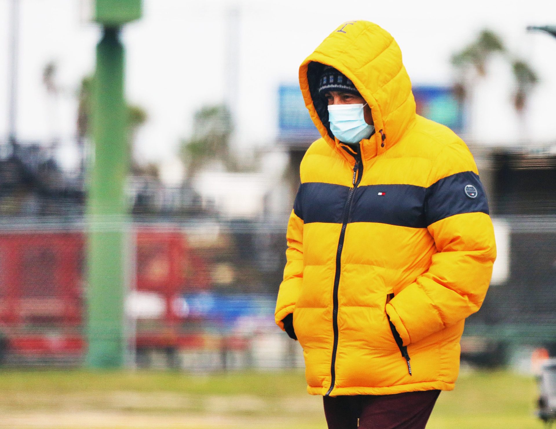
Just in time for Halloween, a strong cold front on its way to the Rio Grande Valley will drive temperatures down into the upper 40s to low 50s before it’s all said and done.
That’s according to National Weather Service Brownsville-RGV station meteorologists, who predict the cold front will arrive in the wee morning hours Monday and possibly be accompanied by precipitation in the form of light rain and/or drizzle. Northerly winds are expected to strengthen while temperatures drop more or less steadily Monday throughout the daytime and evening hours, bottoming out in the lower 50s to upper 40s Tuesday morning. Wind speeds are forecast to reach 20 mph or higher Tuesday and Wednesday.
Temperatures are not expected to rise much above the mid-50s all day Tuesday, and may not even crack 60 degrees on Wednesday, with lows in the high 40s to low 50s anticipated both nights. Wind speeds should continue to drop Wednesday afternoon through the evening, with highs in the high 60s to low 70s forecast by Thursday afternoon, according to meteorologists.
Stay tuned, however, because things could change, the NWS said.

“The temperature forecast may change over the next few days, and may trend cooler than currently forecast,” said NWS Warning Coordination Meteorologist Barry Goldsmith.
He noted that the best chance for precipitation is on Monday, though rain chances could linger into Halloween. On Monday morning, mid-Valley lawns were watered by a chain of showers moving south to north.
As for the longer term, there’s good news on the horizon in terms of a potentially improving drought situation for South Texas and the parched southern United States in general, as reported by the National Oceanic and Atmospheric Administration earlier this month. NOAA is predicting wetter-than-average conditions for portions of the country including parts of the Southwest, parts of the Southeast, the Gulf Coast and South Texas late this year into next year
“An enhanced southern jet stream and associated moisture often present during strong El Nino events supports high odds for above-average precipitation for the Gulf Coast, lower Mississippi Valley and Southeast states this winter,” said Jon Gottschalck, Operational Prediction Branch chief for NOAA’s Climate Prediction Center.
According to the Oct. 17 Drought Monitor, roughly a third of the United States is in drought, said Brad Pugh, CPC’s operational drought lead. That one-third includes the Valley. Though not the driest in the state (that prize goes to East-Central Texas), most of Cameron County was still in Moderate Drought (Level 1) and most of Hidalgo County still in Severe Drought (Level 2) as of Oct. 17. How much of a drought-buster Monday’s precipitation might have been remains to be seen.
“During late October, heavy precipitation is likely to result in drought improvement for the central U.S.,” Pugh said. “El Nino, with its enhanced precipitation, is expected to provide drought relief to the southern U.S. during the next few months.”
In the short term, “medium uncertainty” remains in the forecast because of questions about how atmospheric steering flow will evolve across the Southwest, northwestern Mexico and the Eastern Pacific deeper into autumn and especially into early winter, according to NWS.
Still, thanks to a robust El Nino, it appears more moisture is in the picture.
“The expectation of moderate to strong El Nino conditions is driving the outlook, particularly for generally above average rainfall this winter in Texas,” NWS said.


