

|
Only have a minute? Listen instead
Getting your Trinity Audio player ready...
|
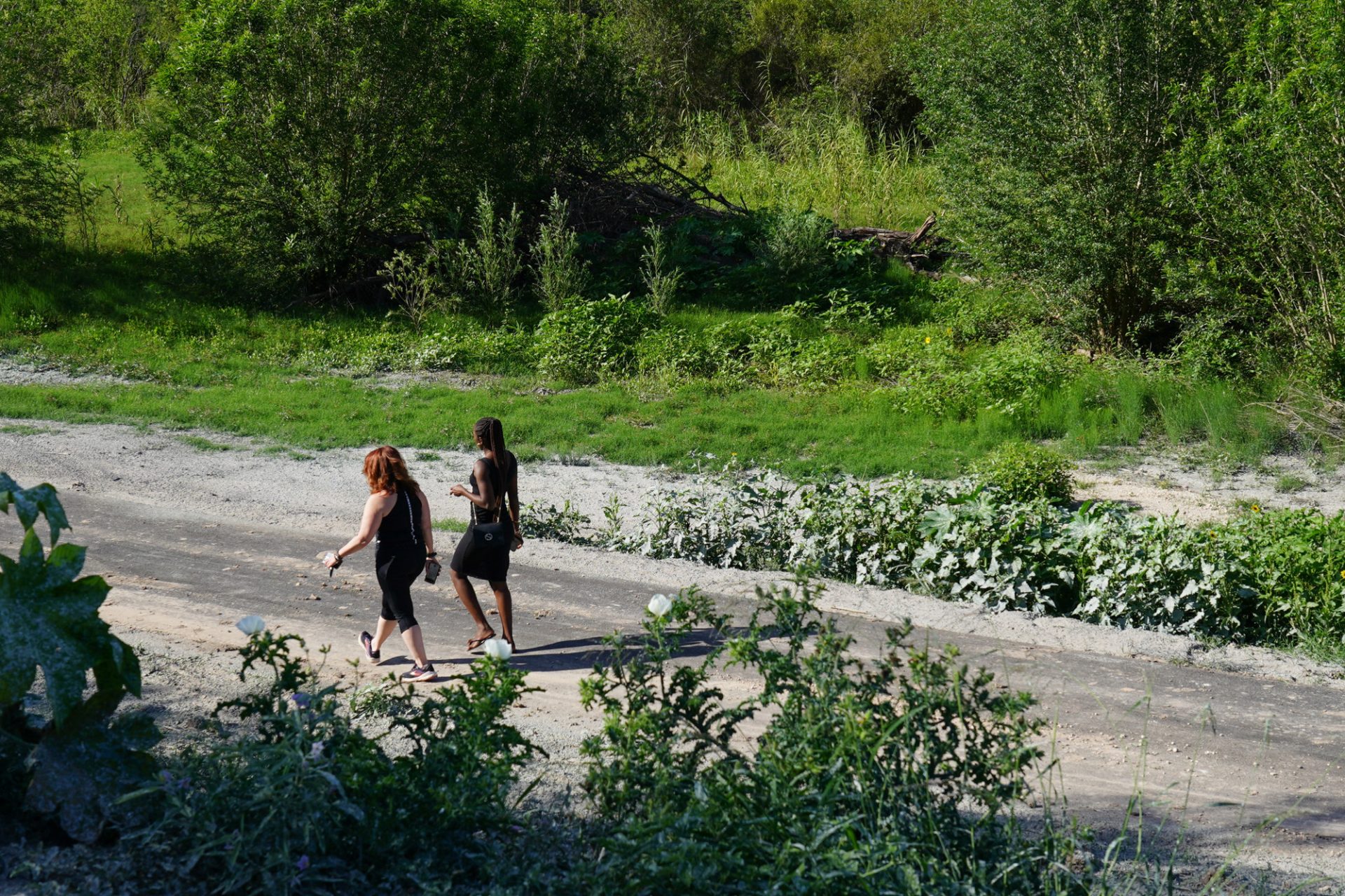
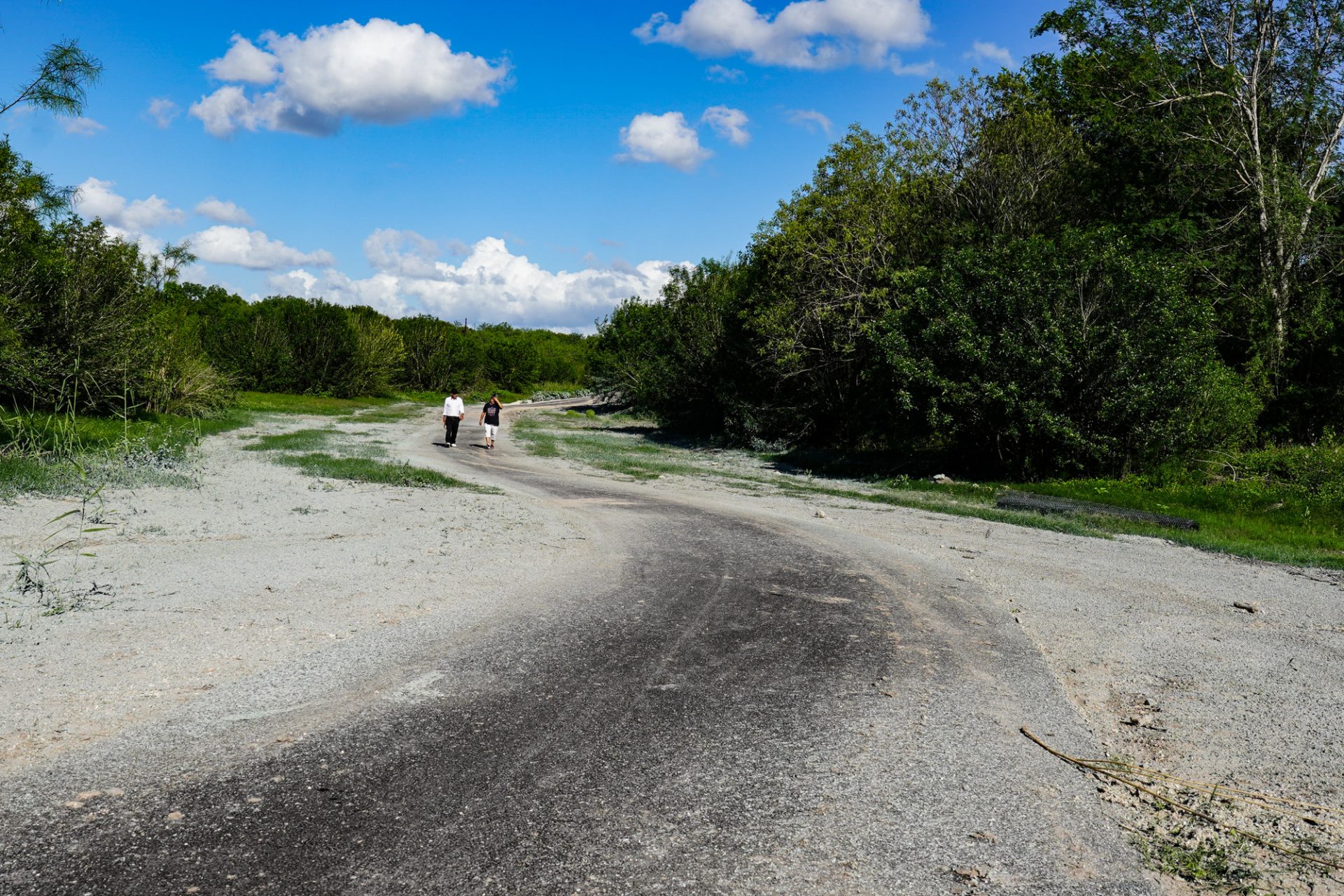
HARLINGEN — Residents living along a stretch of the Arroyo Colorado will help guide engineers as they plot the proposed path of the planned 1.1-mile third phase of the city’s Hike and Bike Trail.
Last month, city commissioners held off on launching the third phase’s engineering study amid some Parkwood and Treasure Hills residents’ concerns parts of the proposed 6-foot-wide asphalt span would encroach on their backyards.
After officials met with residents, property owners along Parkwood, Sam Houston and Riverside requested input in charting the trail’s third stretch, Javier Mendez, the city’s parks director, said.
“The engineering firm is supposed to decide the best route for the trail and meet with the residents for their input,” City Manager Gabriel Gonzalez said during an interview.
Resident air concerns
Last week, commissioners tapped Hanson Professional Services to serve as the engineering firm which will design the trail’s third stretch, proposed to wind 1.1 miles from McKelvey Park, crossing part of the Parkwood area on its way to Hugh Ramsey Nature Park.
Earlier in the month, they held off launching the project after Commissioner Michael Mezmar said some Parkwood and Treasure Hills residents expressed concern the trail would cut into their backyards.
In response, Mendez, who has said the city’s preliminary plans show the trail’s proposed third stretch could impact about 20 properties on its way from McKelvey Park to Hugh Ramsey Nature Park, told commissioners he met with a group of residents to discuss their concerns.
“Their concerns were, of course, homeless people living out there, erosion,” Mendez said during a May 3 meeting.
As they design the trail, engineers plan to meet with residents for their input into the project, he said.
“We mentioned, upon hiring the engineering firm, if they would be involved in the planning or the discussions, whatever comes of their designs, that we include them in the planning part of it,” Mendez told commissioners, referring to residents. “For the most part, I think they were OK with us moving forward as long as we include them in the planning part of it.”
Project scope
The engineering contract, funded through a $179,000 grant from the Rio Grande Valley Metropolitan Planning Organization along with a city match of $37,632, is aimed at designing the proposed 1.1-mile stretch while securing environmental permitting.
“This is just a planning grant,” Mendez told commissioners. “There is no construction involved so it will basically determine whether it’s feasible to build this trail or not.”
Earlier this month, Commissioner Daniel Lopez, pointing to a Cameron County Appraisal District map, told commissioners the map appeared to show the trail’s proposed route wouldn’t encroach on homeowners’ land but might cut into a real estate office’s property line.
Background
At City Hall, officials are planning to promote the city’s trail system, which includes a 10-mile mountain trail cut across the arroyo’s steep embankments, into a cycling destination.
In October, the rugged dirt trail will become the site of a state championship mountain bike race that drew about 200 races from Texas and Mexico last year.
Under the city’s master plan, officials are designing the Arroyo Hike and Bike Trail’s third phase as part of an overall project aimed at connecting the city’s parks with retail centers while linking Texas State Technical College to bicycle lanes.
In 2000, the city opened the Hike and Bike Trail’s first stretch, running 2.1 miles across winding banks, crossing three bridges, from McKelvey Park to Arroyo Park.
Soon, the project’s second phase will extend the trail 1.6 miles, crossing three bridges on its way to Dixieland Park.
The project’s third span is proposed to wind across the trail’s most remote areas, running along the arroyo’s narrower, woodier banks to Hugh Ramsey Nature Park, a site of the World Birding Center, which draws hundreds of eco-tourists every year.
Officials haven’t set the project’s timetable.
The project’s overall goal — to link all of the city’s parks while also connecting neighborhoods, schools and business areas.
As part of the master plan, officials envision a network of trails connecting the city’s parks and retail centers, linking Texas State Technical College to bicycle lanes while giving birders and nature buffs scenic sites along parts of the World Birding Center at Hugh Ramsey Nature Park.


