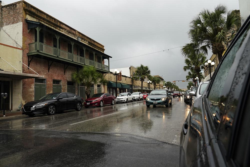
Thunderstorms from two different directions are bearing down on the Rio Grande Valley today, with the possibility of severe weather coming from both systems.
To the north, a slow-moving cold front was working its way through Central Texas at around noon today.
But to the west, another storm system was making a move out of northern Mexico, and both are headed here.
“Most of the activity will begin sometime this evening. We have a cold front over Central Texas right now that is working its way south, and this afternoon we’ll have some thunderstorms form over the Sierra Madre to the West,” said Laura Farris, a meteorologist with the National Weather Service in Brownsville.
“And as these two features slowly move toward South Texas, we’ll start to see the potential for some severe thunderstorms,” she added. “But we’re more concerned about the potential for flooding.”
Farris said today’s severe weather could begin around dinnertime.
“So the timing will depend on both of those features but it looks like from some of the models that we’re looking at we could start to see some of these storms building form both directions, both the north and the west, by as early as 6 or 7 p.m. this evening,” Farris said. “That’s a little bit earlier than what they were showing in previous (model) runs but then that activity will continue through the evening and overnight and into tomorrow.”
On Tuesday, the threat is going to be heavy rain, particularly from the cold front to the north, which is moving very slowly, which increases the threat of excessive rainfall.
Farris said most of the flooding will be “nuisance flooding” but noted that in Zapata, Starr and Jim Hogg counties, overnight rainfall tonight could total three to five inches in some spots.
Severe weather is already affecting North and Central Texas, where Abilene and Dallas were hit hard Sunday night. Dallas-Fort Worth International Airport had multiple ground stops and more than 100 flights out of the airport were canceled Monday.
“Heavy rain and thunderstorms will continue developing along a cold front on Monday as moisture from the Gulf of Mexico meets up with the cooler, drier air to the north,” said AccuWeather Senior Meteorologist Matt Rinde.
The front is forecast to move very little through Monday afternoon, allowing the same areas to be hit with repeated rounds of rain.
“While the development of these storms alone would be enough to cause local flash flooding, a weak area of low pressure will develop along the front and hold it in place, allowing for a ‘training effect’ of thunderstorms,” Rinde added.
A single thunderstorm cell has an average lifespan of 45 to 60 minutes, although multi-cell storms are common.
When thunderstorms “train,” storm cells form over and over again in the same spot, raising the risk of heavy flooding in that location.


