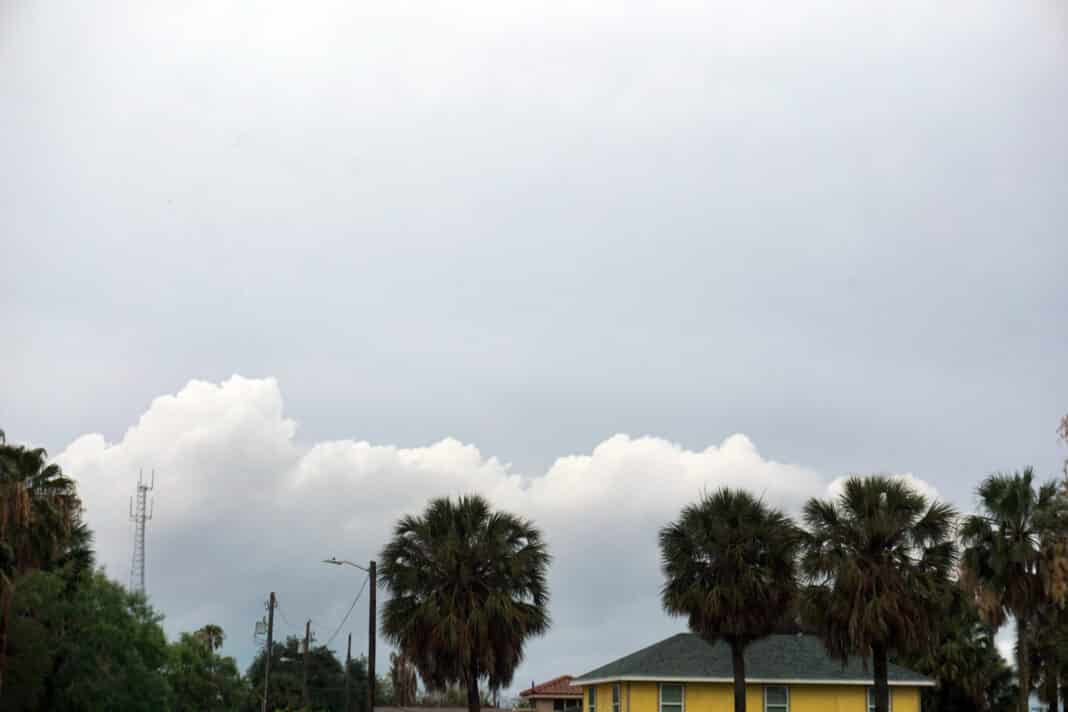
The very summer-like heat wave that has descended on the Rio Grande Valley in recent days will likely persist through the weekend and is potentially dangerous.
An update Monday from the National Weather Service Brownsville/Rio Grande Valley station warned that extreme heat such as the Valley is experiencing now can be deadly, especially for pregnant women, newborns, children, the elderly and those with chronic illness.
NWS says it’s important for outdoor workers to stay hydrated and take shade breaks as often as possible; for friends and neighbors to check up on the elderly, sick and those without air conditioning; to limit strenuous activity, find shade and stay hydrated when outdoors; and never leave children or pets unattended in a vehicle. “Look before you lock” is the motto.
Barry Goldsmith, NWS warning coordination meteorologist with the Brownsville/Rio Grande Valley station, said the Valley is in the familiar grip of “La Canicula” (the Dog Days), common in July and early August when Sirius (the Dog Star) rises with the sun, and is likely to remain so through the week.
That means it will be hot and windy and, partly due to May’s drought-busting rainfall, powerfully humid, which makes for a significantly higher heat index or “feels like” temperature than what the thermometer reads, he said.
It’s a turnaround from rainy May, with waves of energy coming out of a trough in the Southwest and lifting tropical moisture into lines of thunderstorms almost every week, Goldsmith said.
“You could almost set your clock by it,” he said.
That soggy pattern persisted seven to 10 days longer than is usual for the Valley before La Canicula wandered in the door, Goldsmith said. La Canicula is characterized by a dome of atmospheric heat centered over the Permian Basin into the Mexican states of Chihuahua and Coahuila. The pattern suppresses atmospheric lift and maintains summer-like heat, rainless days, clouds in the morning and late at night, and hazy sunshine, he said.
Goldsmith said this week’s heat is oppressive even for June in the Upper Valley and Rio Grande Plains, though the gusting winds blowing across the Lower Valley and the Gulf coast early this week should weaken each day through the week.
“At the beaches, moderate to high long-shore currents will drive from south to north, with embedded rips near sandbar breaks,” he said. “With more weekday visitors to the beaches now that schools are letting out, being vigilant when entering the surf is critical.”
As for the long-range forecast, models suggest La Canicula may migrate westward toward Arizona and Baja California early next week, which opens the door for a return of deeper tropical moisture and rain chances along the Texas coast, Goldsmith said. Exactly how it will play out remains to be seen, but it’s typically in mid- to late June when tropical moisture enters the region and meteorologists start to worry about heavy rainfall and flooding, he said.
“We should know a lot more about those trends this weekend and early next week,” Goldsmith said.
He recalled that when La Canicula headed west out of the Valley in June 2018, a deep southerly tropical flow swept into South Texas and resulted in a week’s worth of rain.
“I’m not saying there’s a repeat in the works, but it’s something we’re keeping an eye on for next week,” Goldsmith said. “Exactly when next week we can’t say. But next week could look a lot different than this week, meaning Canicula is out of the way and now we’re dealing with this upper level energy that has deep tropical moisture in it.
“Then the question becomes where does that moisture go? Is it Louisiana? Is it southeast Texas? Does it hug the entire Texas coast? It’s too soon to speculate.”


