

Meteorological spring is here.
It’s not quite spring-spring, which most people regard as astronomical spring which arrives in a couple weeks, but March 1 is when weather mavens recognize the official change in the seasons when it comes to forecasting.
The good news, says AccuWeather meteorologist Bob Smerbeck, is there is very little likelihood of another Arctic blast like the twin barrels the Rio Grande Valley experienced last month.
“We’re seeing a ridge of high pressure building northward out of Mexico now and that will continue as the season progresses,” Smerbeck said. “The idea of getting Arctic air into the Valley looks very minimal at this point.”
AccuWeather meteorologists believe that over the next three months this early high pressure lockdown over northern Mexico will translate into above-average temperatures here in the Valley.
“That will generally keep cold fronts, real strong cold fronts, from blasting down into the Valley,” Smerbeck said. “At the same time, though, it’s going to be somewhat of a dry pattern.”
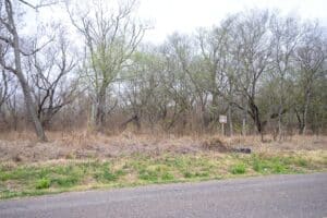
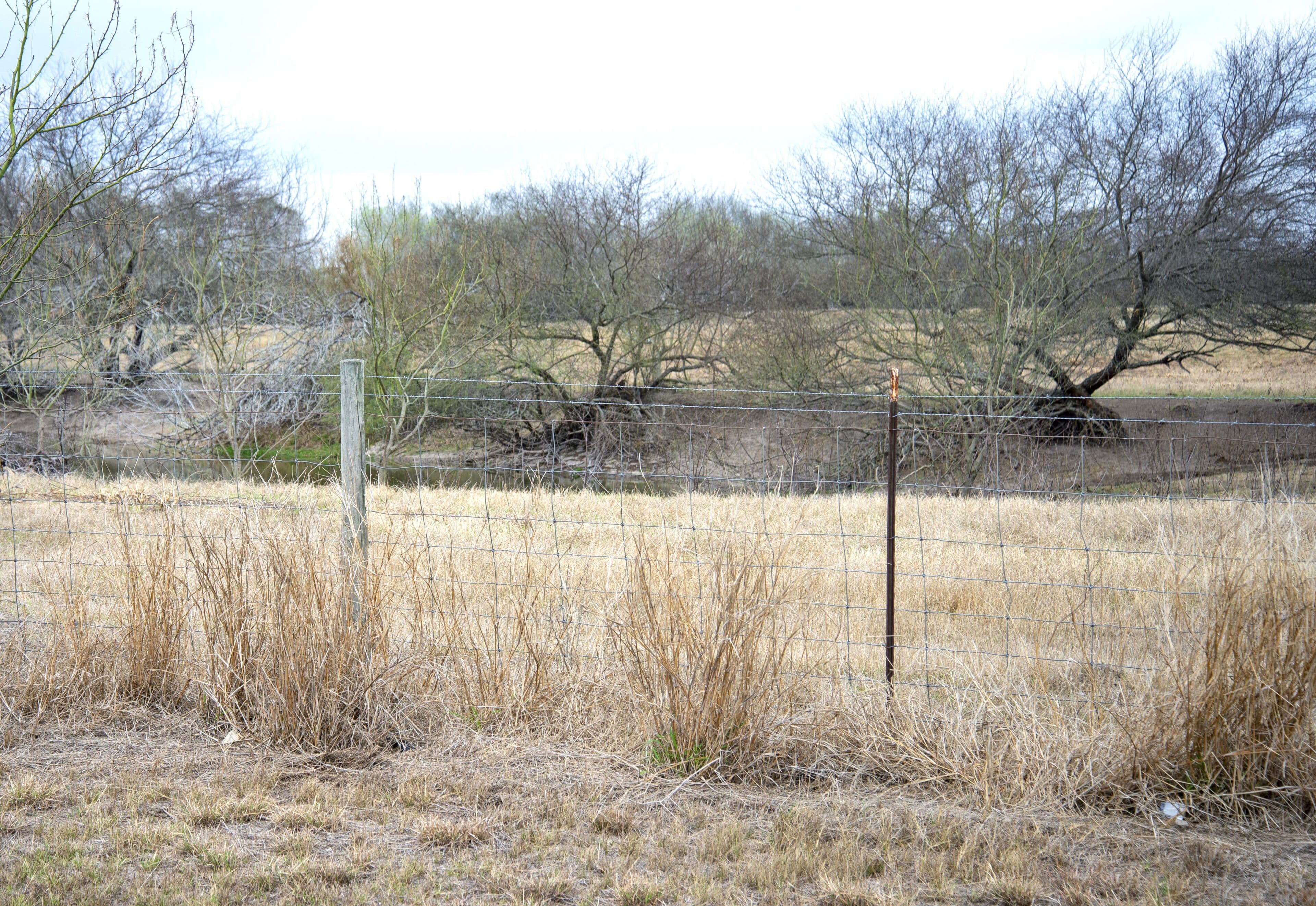
The lack of rainfall in the Rio Grande Valley this winter has brought dragon drought back with something of a vengeance.
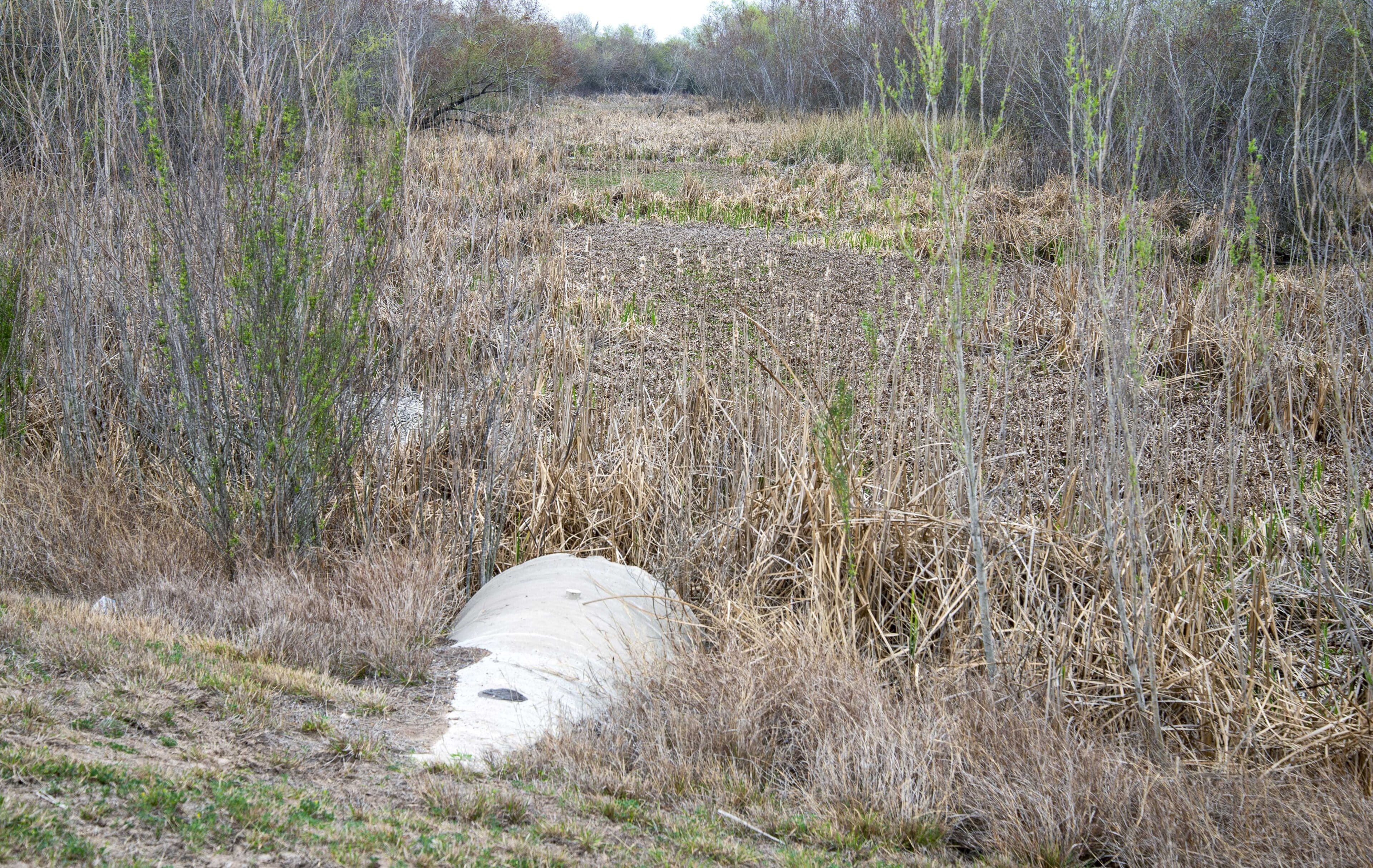
In the Valley, the counties of Starr, Zapata, Jim Hogg, Brooks and the northern half of Hidalgo and northwest Willacy are at a drought level rated extreme, according to the U.S. Drought Monitor’s Thursday report.
The rest of the Valley isn’t much better, with the southern half of Hidalgo, the western third of Cameron and much of inland Willacy in severe drought conditions. Along the coast, the rest of Cameron and Willacy counties is in moderate drought conditions.
But with lower-than-normal rainfall expected, will those drought conditions intensify?
“Based on our forecast, yes they could,” Smerbeck said. “Especially the further west and the further up into the Valley you get, from Rio Grande City up to Laredo and on up. The conditions will get worse.”
The Valley’s biggest rain month is September, when Brownsville receives 5.92 inches of its 27.44-inch annual normal, Harlingen gets 5.26 inches of its 27.49 annual inches and McAllen receives 4.47 inches of its normal yearly rainfall of 22.2 inches.
Spring rainfall is much lower, with Brownsville averaging 5.41 inches for March, April and May. Harlingen averages 6.74 inches over that three-month span and McAllen sees 4.62 inches.
But those rainfall totals, if the forecast holds, are going to be nowhere near those levels.
“I just looked back at last May and there was a different pattern set up,” Smerbeck said. “There was somewhat of a dip in the jet stream through the Mississippi Valley but it did extend down into eastern Texas.”
“That trough will be further north this year and high pressure will be more in control,” Smerbeck said. “Unfortunately, we’re not seeing above-normal precip, in fact our forecast for month-by-month for the Lower Rio Grande Valley is below normal precip for March, April and May.”
Elsewhere in parts of the West, drought is even worse, with exceptional drought conditions — the most drastic level, a step above extreme — already plaguing Nevada, Utah, Arizona, New Mexico, Colorado and parts of Far West Texas.


