

|
Only have a minute? Listen instead
Getting your Trinity Audio player ready...
|
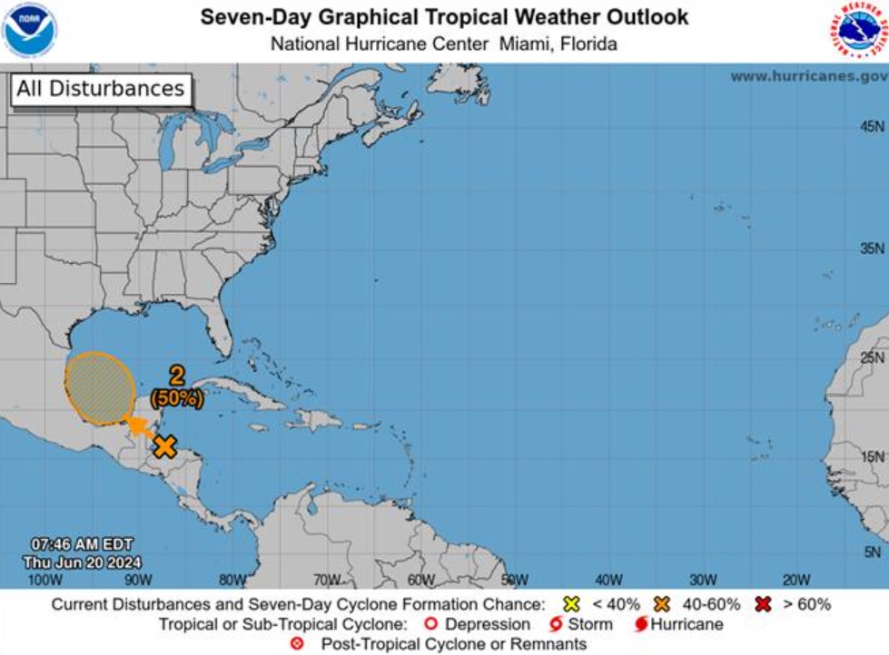
With Tropical Storm Alberto receding in the rear view mirror as far as the Rio Grande Valley is concerned, meteorologists with the National Weather Service Brownsville-RGV station expressed growing confidence Thursday that a second tropical disturbance in the Bay of Campeche will also become a tropical cyclone.
As of Thursday morning, the NWS was giving “Disturbance 2,” lurking in the southwestern Gulf, a 50% chance of becoming a tropical cyclone over the weekend.
It would be the second tropical storm of the Atlantic hurricane season, which started June 1 and ends Nov. 30. Like Alberto, the system is expected to remain south of the Valley and adjacent coastal waters, though it could mean another 1-3 inches of rain for deep South Texas and the Valley — already on the receiving end of a decent soaking courtesy of Alberto, even if it didn’t rain quite as much as meteorologists had earlier predicted.
“Given the beneficial rainfall most of the region received with Tropical Storm Alberto this week, isolated instances of flash flooding cannot be ruled out over areas where locally heavy rain occurs,” NWS Meteorologist Amber McGinnis said in the Thursday update.
The NWS said lingering swells along the coast from Alberto would continue to decrease through Friday, though were expected to start building again Saturday slightly due to the new disturbance in the Bay of Campeche.
“This will keep the risk of rip currents high through the weekend, along with the potential for minor coastal flooding at the time of high tide through the weekend, and possibly into early next week,” McGinnis said.
Rip currents can quickly sweep swimmers out to sea into deep water. The NWS said poor and average swimmers should not venture in past their knees given current coastal conditions, while more experienced swimmers should keep themselves anchored in the sand and use a flotation device.
“Due to high tide, water may move into the dunes at times over the weekend into early next week,” the NWS said. “Wind waves of 4 feet or higher will cause high difficulty for boaters/fishers in small craft, including the possibility for sea sickness.”
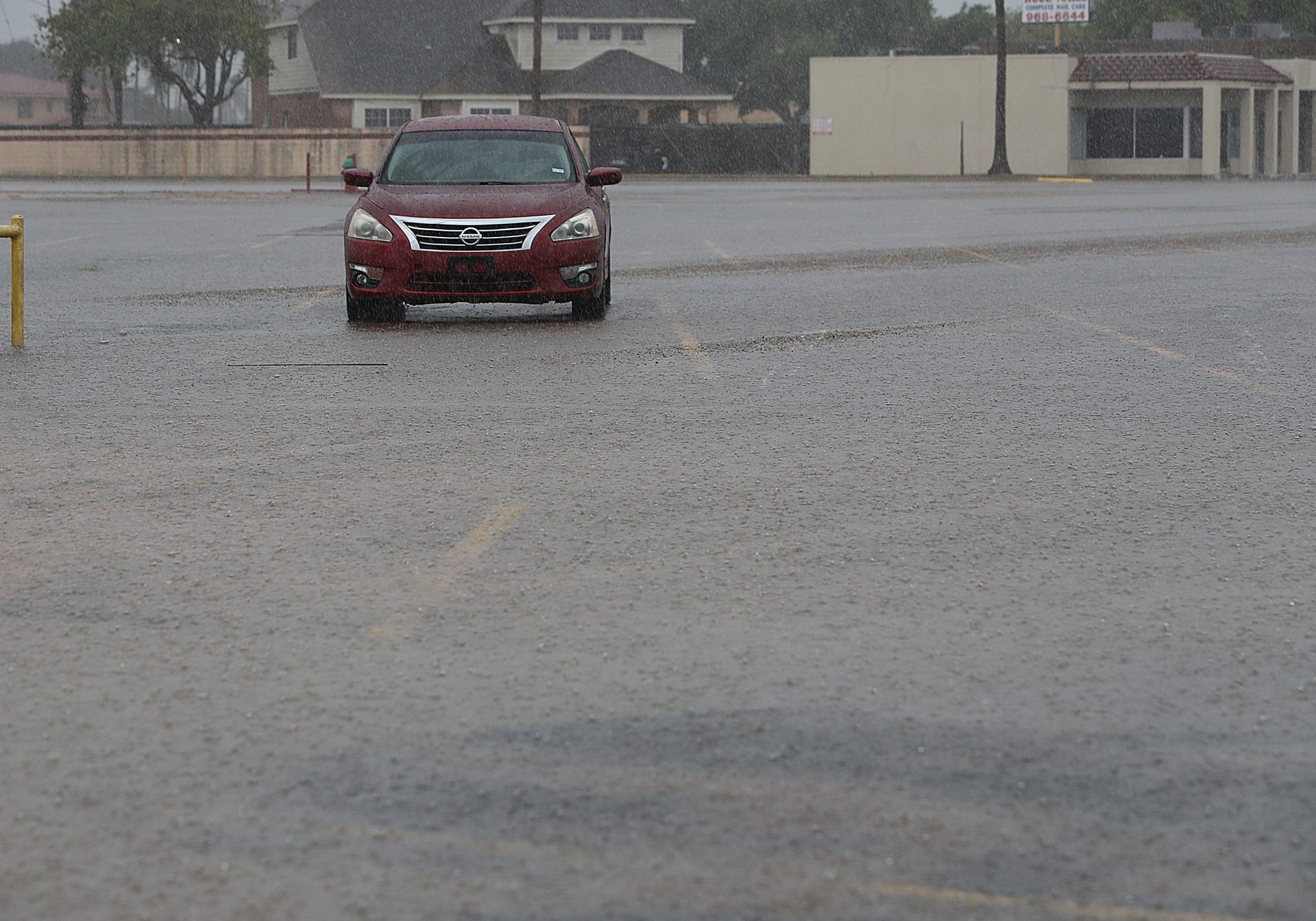
Rain related to Alberto continued to moisten parts of the Valley, especially mid- and upper Valley and points north, as of Thursday afternoon.
Another 1-3 inches of rain on ground that’s already saturated could lead to ponding of water in low-lying areas and roads, while potential downpours from rain bands could reduce visibility to near zero for motorists, McGinnis said.
Assuming Disturbance 2 does become a tropical cyclone over the weekend, the NWS is forecasting from 0.5-1 more inches of rain for northern Zapata, Jim Hogg and Brooks counties to 2-3 inches for the mid/upper-Valley from McAllen to Brownsville and South Padre Island to north of Raymondville.


