

|
Only have a minute? Listen instead
Getting your Trinity Audio player ready...
|
In an early morning update on the tropical system brewing in the Bay of Campeche, the National Weather Service Brownsville-Rio Grande Valley station said Tuesday there’s now an 80% chance the disturbance will become Tropical Storm Alberto by Wednesday.
That’s up from a 70% chance the NWS predicted a day ago. A Tropical Storm Warning and Coastal Flooding Warning are in effect for Cameron, Willacy and Kenedy counties. The potential for winds of 39-57 mph, sustained or gusting, continues through Thursday for those counties, which will also see 2-3 feet of inundation along beaches and bayside shorelines at high tide early Wednesday and Thursday, according to the NWS.
The weather service said swell is already impacting South Texas beaches and is expected to increase, while a Rainfall Flood Watch of 4-8 inches is in effect for all of deep South Texas and the Valley — 10 inches possible in some areas — beginning Tuesday night and continuing through Thursday.
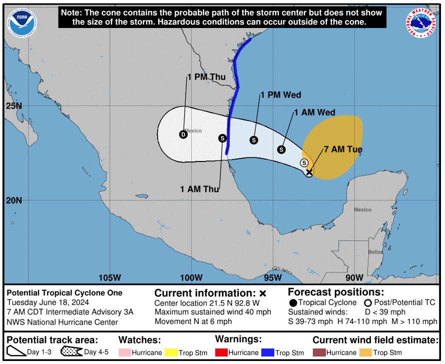
“There is potential for high/very high rainfall rates over a 2-3 hour period that could overwhelm drainage systems,” the NWS said. “While the storm track is not anticipated to head directly over deep South Texas, the entire region will feel the impacts of this tropical system in the form of rain, thunder and marine hazards.”
Winds gusting up to 30 mph are expected to accompany thunderstorms by Tuesday night, lasting into Thursday, while “hazardous marine and coastal conditions are expected to persist through the week, including a high risk for rip currents, small craft advisories, moderate coastal flooding and high surf for beaches along the lower Texas coast,” meteorologists said, noting that the immediate coast is in for the strongest winds.
With high tide, water is likely to move into the dunes early Wednesday and Thursday, with water covering most of the beach the rest of the time Wednesday through Thursday, the weather service said. Even at lower tide, some waves will run near the dunes and the beach will be saturated.
“Vehicles will not be able to drive on the beach,” the NWS said. “Some public beach access points are expected to close late Tuesday night through at least Thursday. Boat ramps and entry points, such as those on S.H. 48 (Padre Island Highway), may experience water levels that cover normally exposed sand flats.”
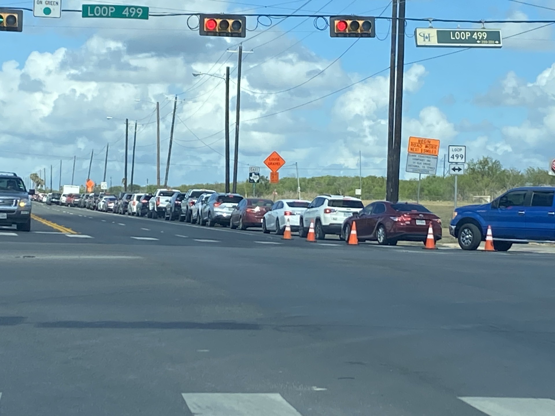
The weather service advised residents nearest the coast, and likely to experience the highest wind speeds, to secure objects likely to be blown away and use caution when driving, especially high-profile vehicles susceptible to being blown over in high winds.
The NWS further advised all Valley residents to monitor forecasts closely through the week.
RELATED READING:
TxDOT reminds Valley motorists to drive with caution during tropical weather


