

|
Only have a minute? Listen instead
Getting your Trinity Audio player ready...
|
Meteorologists with the National Weather Service Brownsville-Rio Grande Valley station said Monday they’re increasingly confident that this week will see substantial rainfall across the Valley and deep South Texas — in conjunction with a tropical cyclone likely to form midweek in the Bay of Campeche.
They cite the latest seven-day Tropical Weather Outlook from the National Hurricane Center, which puts the chances for development of a tropical depression or tropical storm in the southwestern Gulf coast over the next two to seven days at 70%.
Tropical weather models indicate the core of the “tropical entity” will maintain a westerly-northwesterly track, which should keep the system “well south of the (Valley) and adjacent coastal waters,” according to the NWS meteorologists who prepared the report, Andrei Evbuoma, Barry Goldsmith and Gerrit Irish.
All the same, the Valley and northern ranch lands will see increasing rain chances from east to west starting as early as Monday, the potential for precipitation trending upward later in the week thanks to a plume of deep tropical moisture moving north once the tropical system moves inland over Mexico, they said.
“The potential for at least 3-6 inches of rain or more remains a possibility, with areas generally east of I-69E (and I-69C) expected to see the most through this week,” the meteorologists said. “Locally higher amounts are possible in any area that receives repeated instances of showers and storms.”
The potential for rain and thunderstorms is expected to grow each day through Friday before slowly tapering off over the weekend. The NWS is forecasting preliminary rainfall amounts of 3-6 inches (up to 7 inches in some places) by Saturday morning, though it could rain more Saturday and Sunday and possibly beyond.
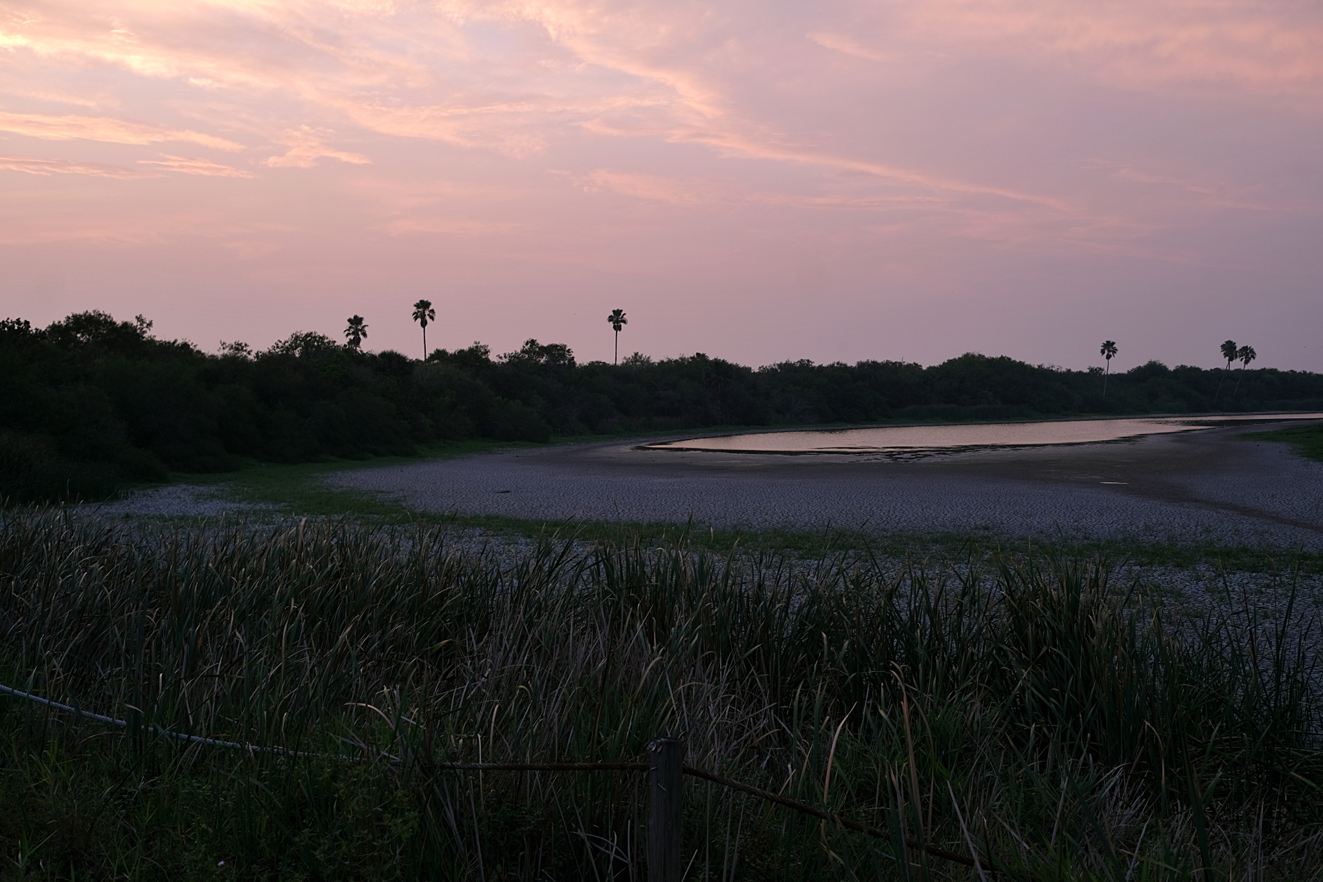
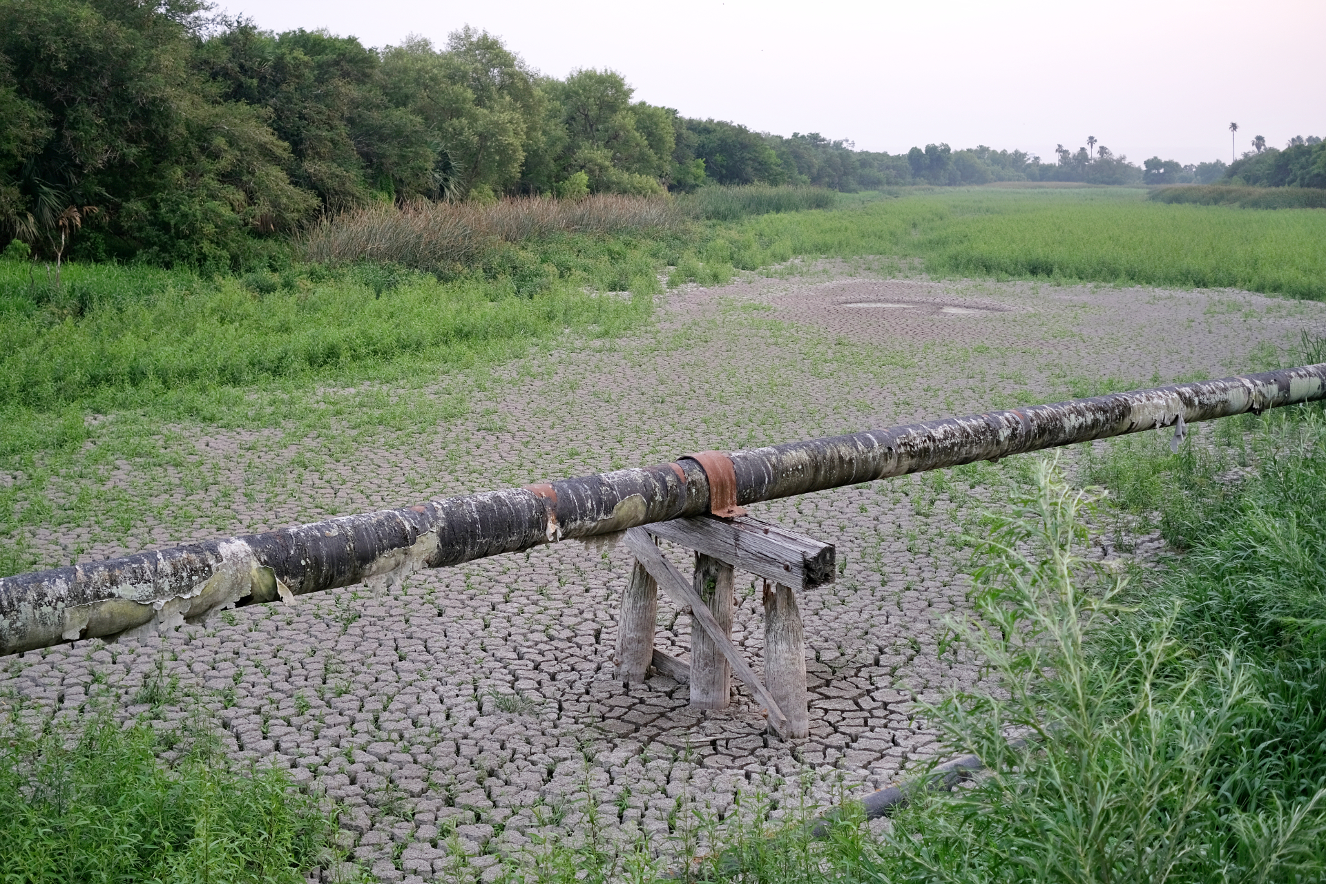
Through Saturday, the weather service is predicting 4-6 inches of rain from Falcon Lake — less than 10% full as of June 16 — all the way to extreme western Cameron County and north to Falfurrias and Sarita. Brownsville was expected to receive the same amount through Saturday, though Port Isabel, most of central and northern Cameron County, including Harlingen, and roughly the eastern half of Willacy and Kenedy counties to the coast, were expected to get 6-8 inches of rain.
The meteorologists said flash flooding is expected Tuesday through Friday from the Upper Valley and northern ranch lands and northeastern ranches to the Lower Valley, while hazardous marine and coastal conditions — including rip currents — would begin as early as Monday night and persist through the week.
“This includes the high risk for rip currents, small craft advisories, coastal flooding and high surf for the beaches along the lower Texas coast,” they said. “A high risk for rip currents (is) in effect for the beaches … beginning this evening.”
The NWS said incoming larger swells had already begun impact lower coastal waters as of Monday morning, and will continue through Wednesday. The meteorologists warned of a higher risk for deadly rip currents starting early this week, along with high surfs and potential for minor coastal flooding during high tide.
“Winds are expected to be between 20-30 kts (23-34.5 mph) over the Gulf waters starting tonight and persisting through Thursday night before decreasing,” according to the report. “Winds are expected to be at their highest Wednesday night.”
The NWS advised residents in flood-prone areas across the region to prepare for the flooding that will come after heavy rains.
“Total rainfall of 2 to 3 inches over a couple hours in poor drainage areas of the Rio Grande Valley will result in 1 to 2 feet of water depth and nuisance flooding,” the weather service said. “Driving will be difficult in downpours (rain bands), with near zero visibility at times.”
Here’s the latest update:
RELATED READING:
Cities, counties across RGV hand out sandbags ahead of heavy rains


