|
Only have a minute? Listen instead
Getting your Trinity Audio player ready...
|
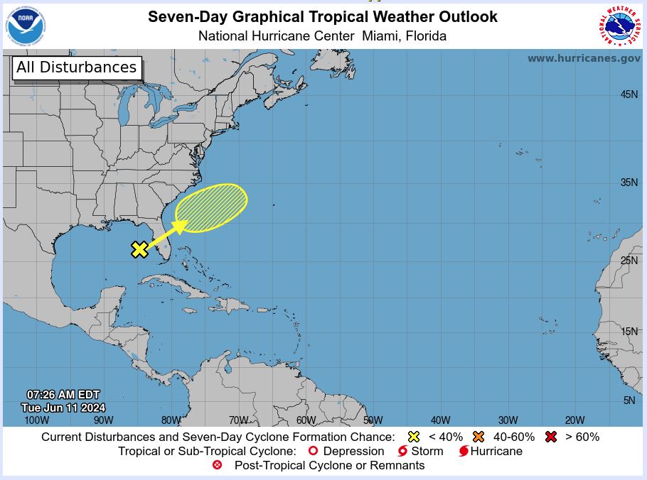
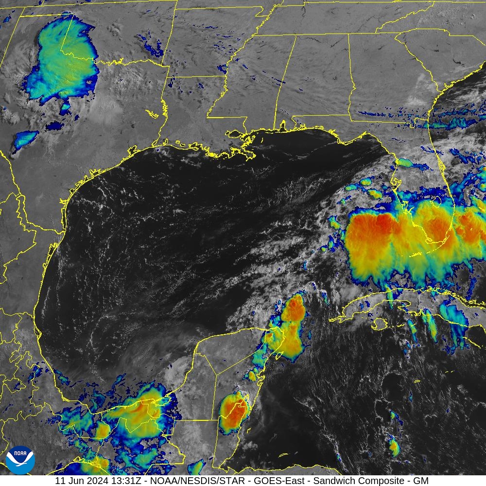
The National Hurricane Center said at 2 p.m. Wednesday that there is a 30% chance of tropical cyclone development in the Bay of Campeche over the next week.
“A broad area of low pressure could form over the weekend across the southwestern Gulf of Mexico,” the National Hurricane Center said. “Environmental conditions appear conducive for some slow development early next week while the system moves slowly westward or west-northwestward.”
This is an upgrade from an earlier report Wednesday from the National Hurricane Center that had an outlook for the development of a tropical cyclone in the Bay of Campeche at 20%.

The National Weather Service Brownsville-Rio Grande Valley said Wednesday morning that if a tropical cyclone develops, the system will remain south of the Rio Grande Valley and in adjacent coastal waters.
“However, the Rio Grande Valley and Northern Ranchlands will see increased rain chances beginning as early as Sunday and increasing through Wednesday of next week,” the NWS said. “The potential for at least 1-3 inches of rain will be possible for areas generally east of I-69E. Lesser rainfall amounts are expected elsewhere.”
Incoming large swells are also expected to begin affecting lower Texas coastal waters on Sunday and will continue to move through coastal waters through Tuesday and Wednesday.
“These large swells will increase the risk of deadly rip currents early next week (mainly Sunday through Wednesday) along with the potential for minor coastal flooding at the time of high tide,” the NWS said.


