
|
Only have a minute? Listen instead
Getting your Trinity Audio player ready...
|
The National Hurricane Center on Monday afternoon upgraded the system in the Gulf of Mexico that is moving toward the Valley to Tropical Depression Nine.
And that storm will likely be Tropical Storm Harold when it makes landfall Tuesday morning.
The upgrade comes after the system formed a closed center, making it a tropical depression, according to the National Weather Service at Brownsville.
“Tropical Depression Nine (is) currently moving westward through the Northwest and Central Gulf (and) will continue to slowly strengthen through Tuesday morning,” the weather agency said in a 5 p.m. briefing. “The tropical depression is expected to reach tropical storm intensity before making landfall along the Lower Texas coast on Tuesday morning.”

Tropical storm warnings are in effect for the entire lower Texas coastline, including several Cameron County communities such as Port Isabel, South Padre Island and Laguna Vista
The warning extends to the entirety of Willacy and Kenedy counties due to the potential for winds in excess of 39 mph in the area. The weather agency said winds have the potential in these areas to reach up to 59 mph.
The National Weather Service said the storm will likely make landfall between Port Mansfield and Baffin Bay.
The storm will be welcome relief for the heat-beleaguered Rio Grande Valley as it is expected to bring beneficial rainfall that is anticipated to be locally heavy in some locations.
The weather agency said it expects the storm to bring three to five inches of rain with isolated areas possibly experiencing more than six inches.
For the more populated areas of the Rio Grande Valley, however, the National Weather Service is anticipating one to two inches of rain to fall.
This rain could provide some relief for the Falcon International Reservoir.
Residents should also be prepared for the potential of flash flooding on Tuesday, particularly in low-lying areas and places with poor drainage.
The National Weather Service said Cameron County and parts of eastern and northern Hidalgo County and all of Willacy, Kenedy and Brooks counties are at marginal risk of flash flooding beginning at 10 p.m. Monday through 7 a.m. Tuesday.
The risk of flash flooding increases to slight for all of the Rio Grande Valley and South Texas on Tuesday, possibly lasting into the evening.
There is also a minimal threat of tornadoes in the Ranchlands spreading from the coast to Sarita to Falfurrias to Hebbronville and west into Webb County to the Rio Grande from 4 a.m. to 4 p.m. on Tuesday.
Those who live in the areas under the tropical storm warnings should be prepared for winds in excess of 39 mph that could result in many large tree limbs breaking, a few trees being snapped or uprooted, and some fences and roadway signs being blown over.
There is also the potential for scattered power and communications outages.
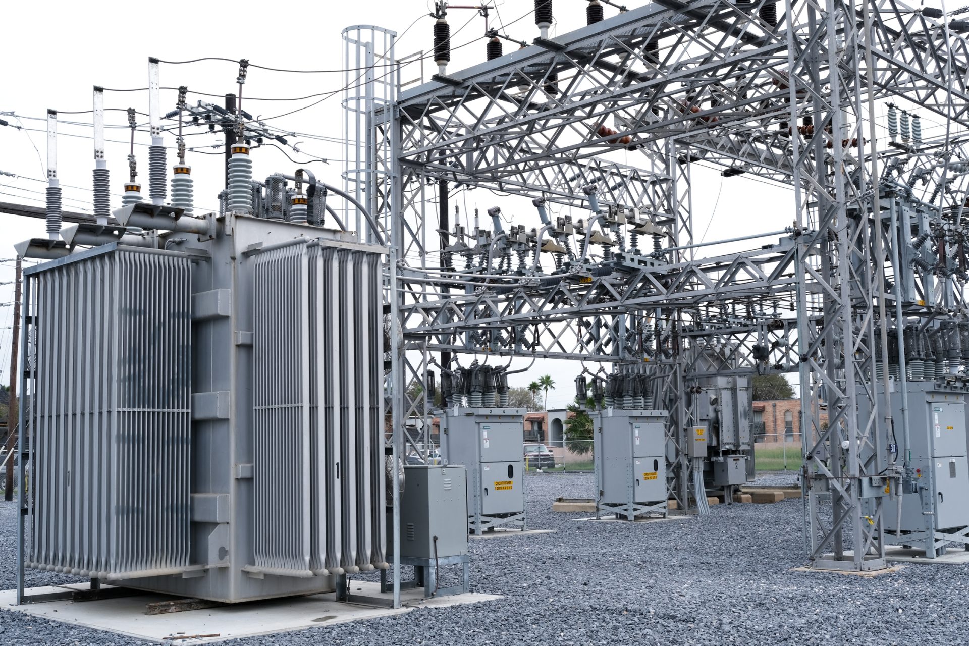
In a Monday afternoon media advisory, AEP Texas said it is closely monitoring and preparing for Tropical Storm Harold.
“AEP Texas is lining up crews, equipment, and other resources in anticipation of heavy rainfall and the possibility of high winds,” AEP Texas said in the advisory.
AEP Texas also is reminding its customers to follow several safety guidelines as the storm approaches.
“Consider any downed power line energized and dangerous. Do not touch anything in contact with the line, such as trees, fences, or puddles of water,” the advisory stated. “Because of the likelihood that the storm will cause many lines to fall, customers are asked to keep their children and pets inside during and after the storm.
“Also, stay at least ten feet away from any downed power line.”
AEP said that customers on life support systems or who use other medical equipment that relies on electricity should have a backup plan in case of prolonged outages.
“If you plan to use a portable generator, always follow the manufacturer’s instructions,” the advisory stated. “Most, if not all, require that backup generators be located outside the home and away from open windows to prevent the possibility of carbon monoxide poisoning.”
Should someone lose power, they can check restoration progress by visiting www.aeptexas.com where there is a real-time map featuring the most current available information.
“Customers also can sign up for outage alerts to receive updates on outages and follow us on social media,” the advisory stated.

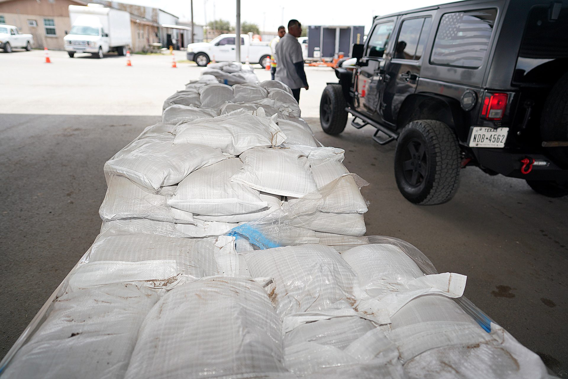
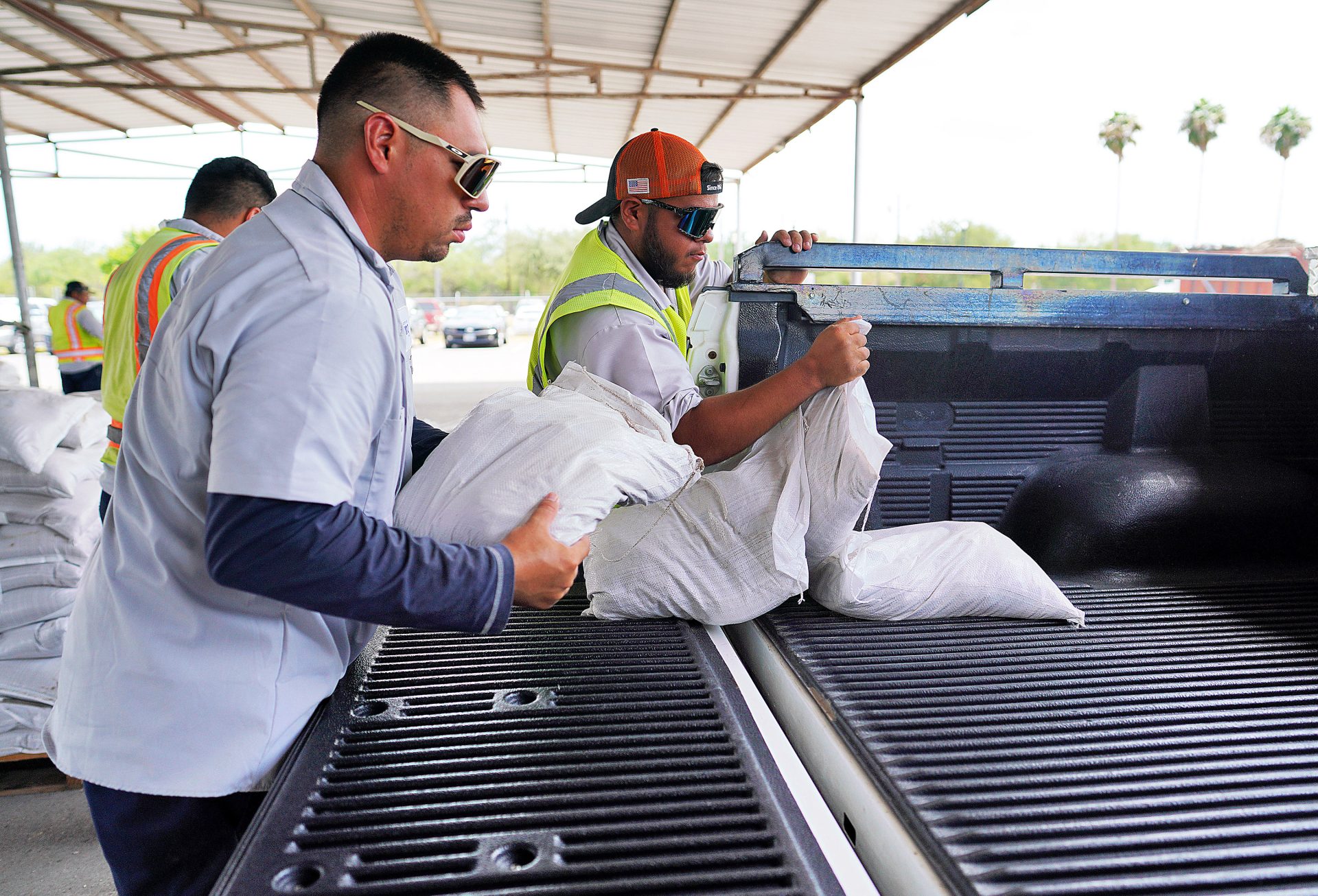
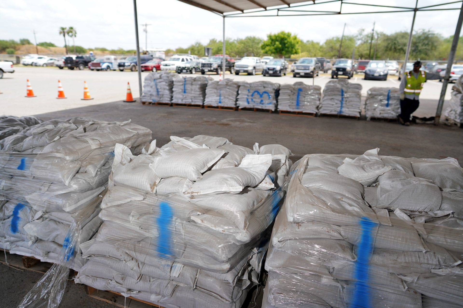
SANDBAG DISTRIBUTION
Some municipalities have also started self-serve sandbag distribution as well.
The city of McAllen is providing sandbags from 11 a.m. to 7 p.m. at the McAllen Recycling Center, which is located at 4101 N. Bentsen Rd.
Proof of residency is required and residents have a limit of six sandbags while businesses have a limit of 12.
The city of Mission has three self-serve sandbag distribution sites that are open Monday.
Mission residents can visit Bannworth Park, which is located at 1822 N. Shary Rd., from noon to 8 p.m.; Jaycee Park, which is located at Los Ebanos Road and Barnes Street, from noon to 8 p.m.; or Speer Memorial Library, which is located at 801 E. 12th St., from 10 a.m. to 5 p.m.
The limit is six per household and 10 per business.

The city of Edinburg is offering sandbags on Monday from 1 to 7 p.m. at the Edinburg Service Center, which is located at 1201 N. Doolittle Rd. This location will also be open Tuesday from 7 a.m. to 7 p.m.
To be eligible, the city says people must live within city limits and proof of residency is required.
Residents are eligible for six bags per household and businesses may take up to eight sandbags.
Hidalgo County Pct. 4 is offering sandbags from 1 to 6 p.m. at the M. Road Recovery Center, which is located at 1124 N. “M” Rd. in Edinburg. Residents can have up to eight bags per household and businesses can take up to ten.
Proof of residency is required.
Hidalgo County Pct. 1 has sandbags available from 1 to 4 p.m. at Sunrise Hill Park/Pct. 1 Operations Facility, which is located at 5230 Mile 11 N. in Mercedes. Residents are eligible for up to six sandbags per vehicle while supplies last.

Hidalgo County Pct. 3 has three locations available for residents, including La Mansion located at 2410 N. Moorefield Rd. in Mission; the Sullivan City Substation at 1429 El Pinto Rd. in Sullivan City; and at La Homa Rd. and 107 at 2894 W. Mile 7 Rd.
Identification is required and residents can have up to five sandbags per family.
The city of Palmview is distributing sandbags Monday to residents from 3 to 7 p.m.
The self-serve distribution site is on the west side of Palmview City Hall, located at 400 W Veterans Blvd.
Residents will receive four bags, while businesses can receive up to six. The sandbags are filled, so those seeking to retrieve some have to load the bags in their vehicles.
Proof of residency is required.


