

|
Only have a minute? Listen instead
Getting your Trinity Audio player ready...
|
The National Weather Service Brownsville-Rio Grande Valley has announced the traditional mid-season outlook for the Atlantic hurricane season from the National Atmospheric and Oceanic Administration, 2023 edition.
NWS noted that the new outlook has upped the forecast range for named storms, hurricanes and major hurricanes. NOAA increased the forecast number of named storms from 12-17, which was the May forecast in May, to 14-21 storms today. The outlook for hurricanes has likewise been adjusted from 5-9 to 6-11, and major hurricanes (Category 3 or higher) from 1-4 to 2-5.
Part of the reason is that five cyclones have already occurred, which is above the long-term average through Aug. 10, though only Don turned into a hurricane (briefly, in late July) and impacts to the United States have been nil to date, NWS said.
Another reason NOAA increased the range and likelihood of storms for the season is record hot sea surface temperatures across the Atlantic, particularly the Main Development Region (MDR) for tropical cyclones, which extends from Africa’s western coast through Cuba and the central Caribbean Sea.
Also, despite a “moderate and strengthening El Nino,” a climate pattern known for cyclone-killing wind shear, the forecast for wind shear is somewhat lower than expected across the MDR, and conditions are favorable for moisture to move from West Africa into the MDR via the West African Monsoon, which occurs between June and September.
Barry Goldsmith, NWS warning coordination meteorologist, said the Caribbean and Gulf of Mexico remain “wild cards that always need to be monitored, regardless of the seasonal forecast.” He added that the high-pressure heat dome that’s been broiling the Rio Grande Valley, Texas and the southern United States since early June is expected to persist into late August and said coastal residents should review evacuation plans, restock supply kits (stay or go) in the event of a storm, and shore up homes and businesses against wind and water in the event of catastrophe.
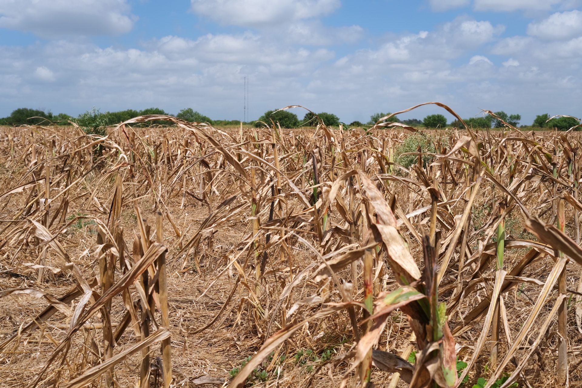
Meanwhile, “flash drought” continues and conditions are worsening by the week, Goldsmith said. The La Canicula heat wave that started in earnest June 9 ranks among the top five hottest on record across the Valley during the period, including the hottest on record for Brownsville and Harlingen, he said.
Goldsmith said La Canicula normally runs July 3 through Aug. 11, and that heat domes aren’t unusual during the period, though this year’s La Canicula began early and likely will extend well past Aug. 11.
Grass and brush are at critically dry levels, especially along or west of I-69C in Brooks and Hidalgo counties into Zapata Country, he said.
“Already this week, a 3,400 acre wildfire was observed in central Zapata — the largest acreage across the southern Brush Country/Rio Grande Plains so far this year,” Goldsmith said. “Wildfire prevention messaging is critical for the next two weeks or longer.”
Meanwhile, water levels at Amistad and Falcon reservoirs continue to fall steadily, again not unusual in mid-summer, he noted.
“With no rain expected over the basin headwaters through at least Aug. 23, the U.S. percentage of water share (at) Amistad-Falcon will continue to fall,” Goldsmith said. “The value fell below 25 percent this week. This has triggered Stage 2 conservation restrictions for some communities in past years. September remains uncertain. We should have an idea of the trends by late next week.”


