

These summer-like conditions up to two months earlier than normal can cause heat-related illness on those not prepared or not yet acclimated — heat exhaustion, or worse, heat stroke — for people not taking appropriate precautions before, during and after being in the early-season heat.
The National Weather Service Brownsville-Rio Grande Valley station has issued an updated seasonal outlook that includes March through May — and it could be better.
Worsening drought is in the picture, according to NWS Warning Coordination Meteorologist Barry Goldsmith.
As the weather gets hotter and drier in coming months, key concerns are wildfire prevention, water supply issues and pre-summer heat stress on people, animals and crops, he said.
The past week’s hotter-than-normal temperatures served as a preview of what’s to come later in the spring, Goldsmith said. With the introduction of additional humidity in the form of dew-point temperature — the temperature at which 100 percent relative humidity is achieved — Valley residents can look forward to “feels like” temperatures of 100 and even 110 degrees as early as late March, but more likely in April and early May, he said.
“These summer-like conditions up to two months earlier than normal can cause heat-related illness on those not prepared or not yet acclimated — heat exhaustion, or worse, heat stroke — for people not taking appropriate precautions before, during and after being in the early-season heat,” Goldsmith warned.
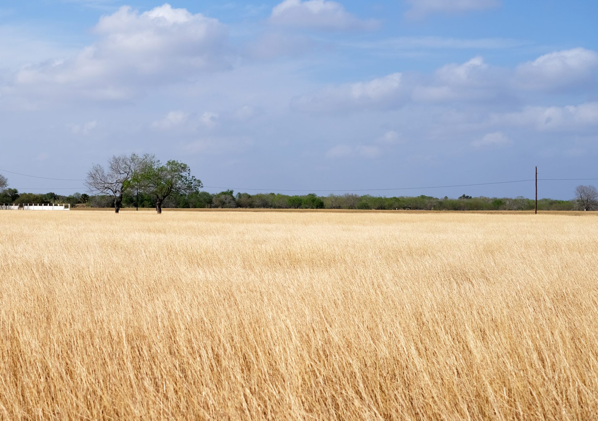
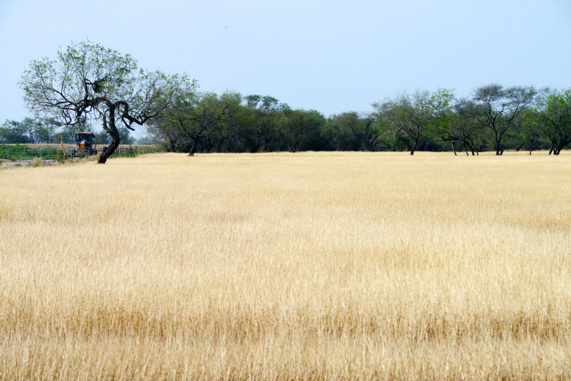
As drought digs in its heels, the spread of wildfires becomes a very real concern as thick, dry grass and brush provide perfect fuel, while periodic breezy or windy days, very low humidity and warm to hot temperatures supply the ideal weather conditions, he said.
It’s a recipe conducive to “rapid to potentially explosive growth and spread of any wildfire that starts, especially on Fire Danger or Red Flag days,” Goldsmith said.
March through mid-April is the period of highest concern, he said.
Between February and April 2022, roughly 32,000 acres burned across Kenedy, Brooks, Jim Hogg, Hidalgo and Starr counties — the worst of it occurring in March, Goldsmith noted.
Those counties are expected to hit Level 3 (Extreme) drought by early March, while the rest of the Valley could see Level 2-3 (Severe to Extreme) drought later in March and early April, he said.
Goldsmith said the forecast drought levels for spring 2023 will be worse than the same time last year, adding: “Do all you can to promote wildfire prevention this spring, starting now.”
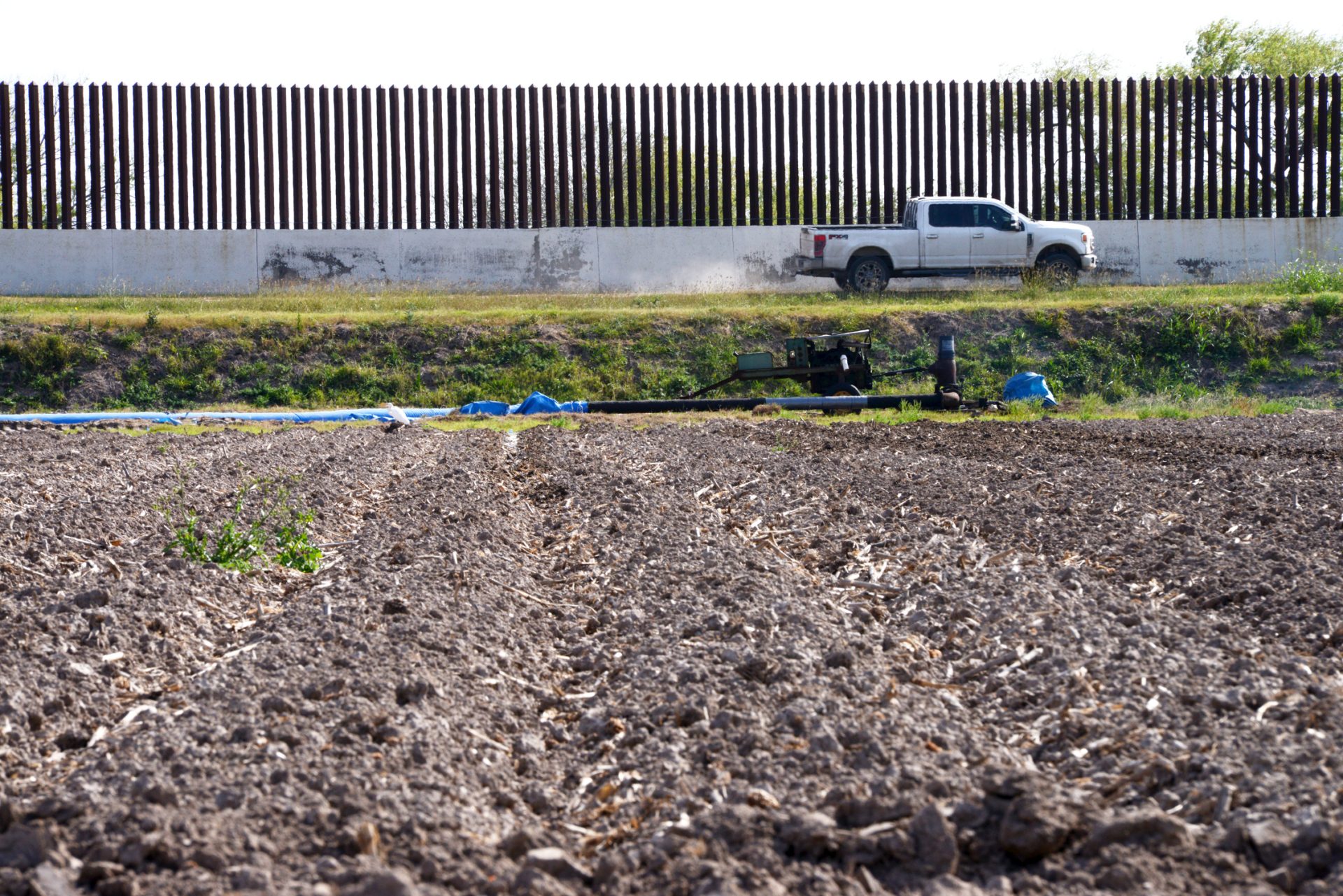
Local water supply issues caused by Level 2-4 drought affects crops and livestock disproportionately, forcing water rationing and cattle sell-offs, he said, noting that Amistad and Falcon international reservoir began the year with water levels before 30-year minimums based on Texas’ share of the water.
Further, reservoir evaporation rates are expected to be at least above average based on the forecast, meaning water conservation efforts and restrictions will have to be implemented as reservoir levels are likely to continue declining steadily, Goldsmith said.
As for what summer might have in store, he characterized temperature forecasts for August as “ominous,” leaning as they do toward continued, persistent hotter and drier than normal conditions.
“While the potential for May thunderstorm clusters increases, those clusters would need to fall over in-flow regions (headwaters) along the Rio Grande/Rio Grande basin to give Falcon and Amistad a welcome, though only slight, boost,” Goldsmith said. “The reality is we’ll need ample tropical rains to fall in the Rio Grande watershed at some point this summer or next autumn.”
May is unpredictable when it comes to the possibility of thunderstorms, he said. If the current active thunderstorm pattern across the central and sometimes the southern United States continues into May, such disturbances could lift tropical moisture enough to produce thunderstorm clusters, he said.
“May thunderstorm clusters in past years, including 2022, have produced damaging wind, local flash flooding, large hail and frequent to excessive cloud-to-ground lightning,” Goldsmith said. “We’ll have a better idea of May’s severe thunderstorm potential when we update the mid- and late spring/early summer outlooks.”
Despite the outlook for continued hot and dry weather, he didn’t rule out the potential for another cold snap, noting that this winter has been marked by a number of “roller coaster” temperature changes.
There’s no reason to think temperatures couldn’t drop again in early to mid-March, though the Valley is unlikely to see any more crop-killing cold this winter, Goldsmith said.
“If and when there’s a cold snap, the chance for a damaging freeze is near zero,” he said. “The best chances of coming close would be across the Rio Grande Plains/brush country/coastal plains from Zapata to Kenedy counties. The Valley should be fine.”


