Well, that helped.
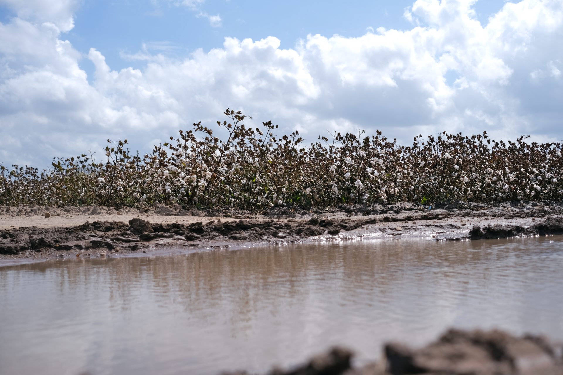
The heavy rains lumbering through much of the Rio Grande Valley over the weekend thanks to a disorganized tropical wave originating near Louisiana brought welcome relief to residents of deep South Texas after a long run of hot, dry weather, accompanied by historically low water levels at Amistad and Falcon reservoirs.
Barry Goldsmith, warning coordination meteorologist with the National Weather Service Brownsville/Rio Grande Valley Station, said that even though the updated U.S. Drought Monitor report won’t come out until Aug. 18, it’s a good bet that every part of the Valley has been knocked down at least a drought level.
On that score, and even with Valley communities nervously eyeing dropping reservoir levels, the region is in better shape than even drier parts of Texas further north. Nowhere in the Valley is listed worse than Level 1, or moderate drought (some areas not even dry enough for that designation), and that was before the rainmaker made its presence known, especially on Sunday, Goldsmith said.
“The core of the rain associated with the system stayed north of the Valley but rain bands soaked the Rio Grande Valley,” he said. “These bands of rain may matter sometimes more than the circulation.”
The disappearing water at Falcon and Amistad have prompted some Valley municipalities, including Brownsville and McAllen, to implement Stage 2 drought contingency plans. The reservoirs will benefit from all the rain, though as of Monday it wasn’t known how much, Goldsmith said.
“What we can say pretty definitively is that there will be some rise,” he said. “This is the kind of event that will drop enough water into each reservoir to create … a rise from the runoff.
The general forecast for the weekend called for 5 to 10 inches of rain falling in the watershed of the Lower Rio Grande Basin that feeds into Amistad and especially Falcon, including the Rio Grande between Del Rio and Zapata, which serves as the head of Falcon Lake, Goldsmith said.
“Water that falls along the river will flow downstream and reach the lake,” he said.

While some spots only got an inch or two, wide swaths of the Valley received three to seven inches, Goldsmith said.
“Depending on where you were, in Starr, Hidalgo, Willacy or Cameron (counties), the reality is everybody got a piece of this pie,” he said.
As of midday Monday the system wasn’t done, dumping rain on Eagle Pass en route to Big Bend and following the west bank of the Rio Grande.
While the rain gives the Valley some breathing room as far as the water supply goes, September is a wild card rain-wise, with predictions of average, above-average or below-average rainfall, depending on which computer model you’re looking at, Goldsmith said. He added that below-average would would open the door to more drought, given that the current long-term outlook predicts a drier and warmer fall and winter than normal. If that pattern persists into spring, things could get grim, Goldsmith said.
“If September doesn’t get the rain, then we’re going to be kind of back to square one,” he said. “So the hope is we see more like this. This is very welcome.”


