
Summer hasn’t officially started, but those lazy, hazy days are already making an appearance.
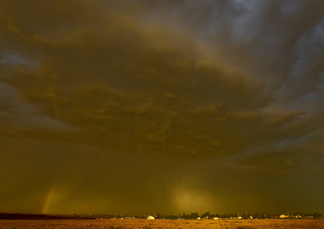
A massive Saharan dust cloud began creeping over Texas on Sunday, and how long it will endure is pretty much anyone’s guess.
“That’s the hard part. It can vary in intensity, obviously, as far as how much haze is there at any one particular time,” Dave Houk, senior meteorologist at AccuWeather, said Wednesday. “But I think the overall pattern is what we see with high pressure centered over the Tennessee Valley, a big dome of high pressure sitting up there, we’re going to have a mid- to upper-level flow out of the east and southeast and there’s a lot of dry air with that Saharan layer of dust mixed in with that.”
“We even see a little brownish tint back thru the Caribbean, also clouds on top of that, so that kind of adds to the murky feel of it,” he added. “Even without the clouds that haze is going to stick around, and it looks like the pattern is for the next five to seven days.”
The Saharan Air Layer as it’s called isn’t new, and comes back periodically to darken Texas skies. A smaller one came through in mid-May, and some Valley residents may remember the particularly dense dust cloud that struck in the summer of 2020.
The Saharan Air Layer is a mass of dry air which vacuums up dust and other particulates over North Africa’s 3.6-million square mile Sahara Desert. Prevailing winds then drive the cloud west across the Atlantic.
“Hopefully, we can get some precipitation in, it’s kind of one of those things that most of it is elevated from what I’ve seen. But it can impact people who typically have difficulty breathing, some respiratory issues it can definitely exacerbate, but overall it’s not a threat to most of the population,” he said.
What is a threat is the formation of tropical systems. The haze tends to drop temperatures two or three degrees during daylight hours, and makes it more difficult for tropical systems to form and intensify.
“It’s more or less going to inhibit development,” Houk said. “With that dry, dusty air, you don’t get the processes going for the rich moisture and the tropical spin-ups that we worry about.”
But while the Saharan haze may make a tropical storm or hurricane less likely, the chances are not zero.
“We’re kind of watching some of the models that have been spinning up a system, trying to spin up a low pressure area” in the Bay of Campeche, Houk said.
He said experts will have more to say on that as it develops, or not, sometime late on the weekend or early next week.


