Where did all the storms go?
What began as an active hurricane season has gone dormant.
AccuWeather meteorologists now believe the odds of any additional tropical storm formation in the near future, say a week or two, are quite low. Hurricane season in the Atlantic officially ends Nov. 30.
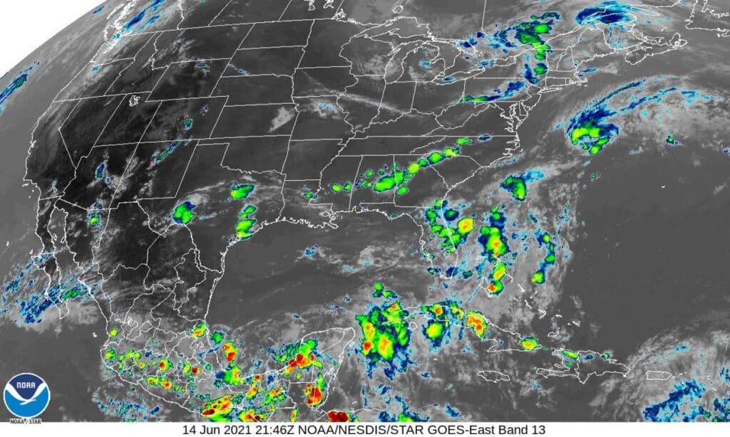
The five-day outlook as of Tuesday shows just blank seas between the gulf coast of Texas and Africa. The last major storm was a month ago, Hurricane Sam, which spun itself into oblivion in the North Atlantic, never touching shore.
Yet the early season was so active, named tropical storms and hurricanes burned through all but one of 2021’s list of names: Wanda. We may never get to know her.
“We’re going into a situation where there are less tropical features coming off Africa, which before October usually are the instigators in the development of tropical storms and hurricanes,” said AccuWeather Hurricane Expert Dan Kottlowski.
Kottlowski said tropical waves coming off the coast of Africa are primarily responsible, at about 85 percent, for storm development during the peak of the hurricane season.
And while AccuWeather experts warn not to get complacent and that a late-season hurricane may yet form, they believe wind shear occurring in the Atlantic basin will tamp down storm formation in the near-term.

“When you have strong winds, what we call wind shear, those strong winds will weaken tropical systems, and that’s why it’s been so quiet since Sept. 15, because we’ve had a tremendous amount of wind shear in the Atlantic basin,” said AccuWeather Chief Broadcast Meteorologist Bernie Rayno.
A strong vertical wind shear takes the punch out of tropical disturbances by preventing them from developing a proper central core and eye, disrupting the conditions necessary for a tropical wave to become a tropical storm and ultimately a hurricane.
But the planet is going back into a La Nina pattern, which could create the necessary late-season conditions for another hurricane, the National Oceanic and Atmospheric Administration confirmed last week.
La Nina is the cold phase of a massive pool of water in the Pacific Ocean that affects weather worldwide. A La Nina pattern had been in place for months and then faded but has re-emerged.
“We are going into a La Nina,” Kottlowski said. “And typically when you go into a La Nina, that favors keeping the vertical wind shear to the north and that’s not happening just yet. The vertical wind shear has been deep into the tropics over the last several days, and that’s the reason we really have not seen real robust patterns to create the opportunity for tropical development.”
But as La Nina strengthens, it tends to nudge the strongest wind shear to the north, and that spells potential trouble in the Caribbean and Gulf of Mexico for the last month of the season.
“Don’t let down your guard yet, because we still have plenty of warm water and, with us going into La Nina, that presents a unique opportunity for tropical development in the late season,” Kottlowski said.


