
|
Only have a minute? Listen instead
Getting your Trinity Audio player ready...
|
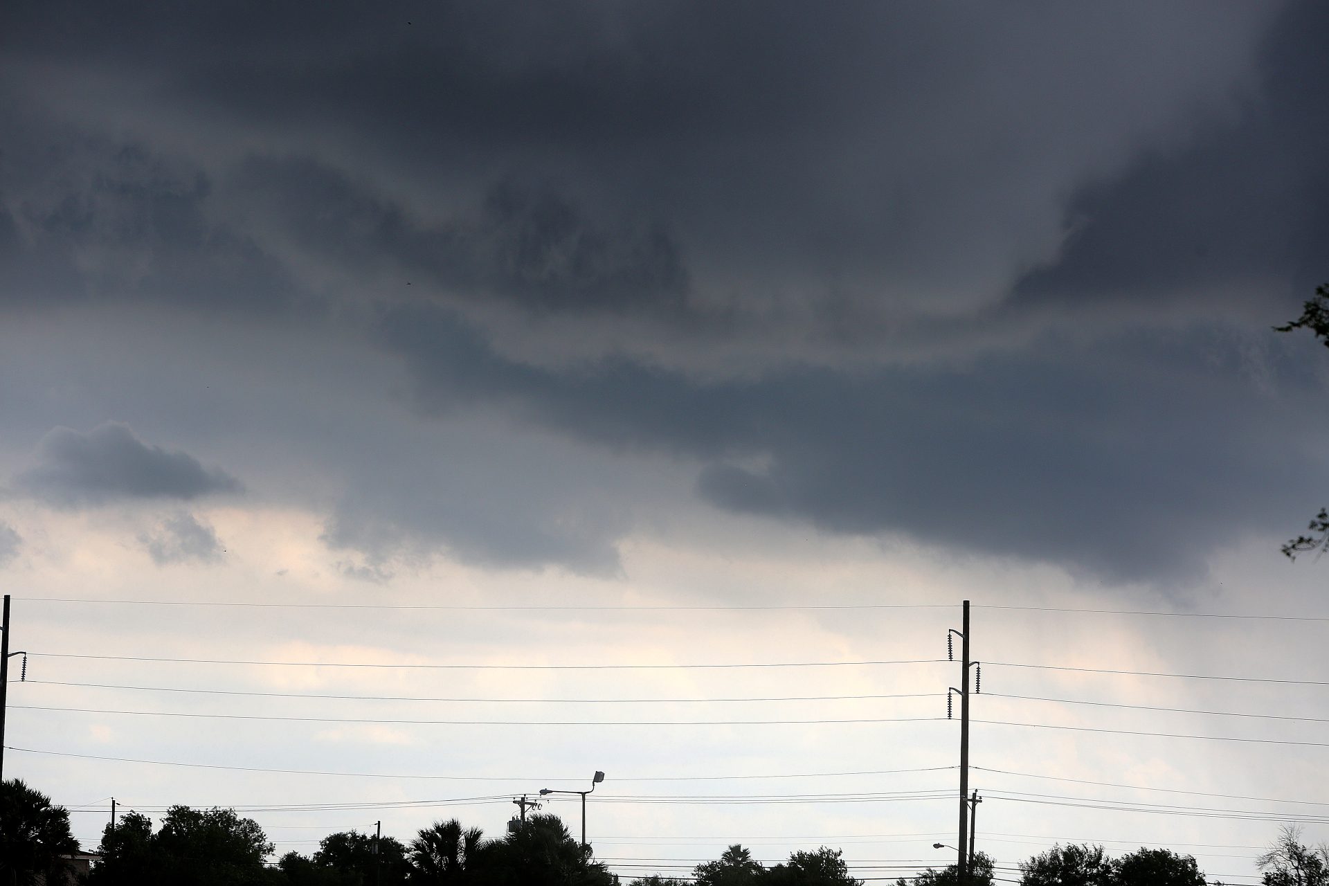
September is cementing its reputation as the soggiest month for the Rio Grande Valley, with another spate of heavy downpours in parts of Cameron and Hidalgo counties Sunday on the heels of last week’s major rain event delivered by Tropical Storm Francine.
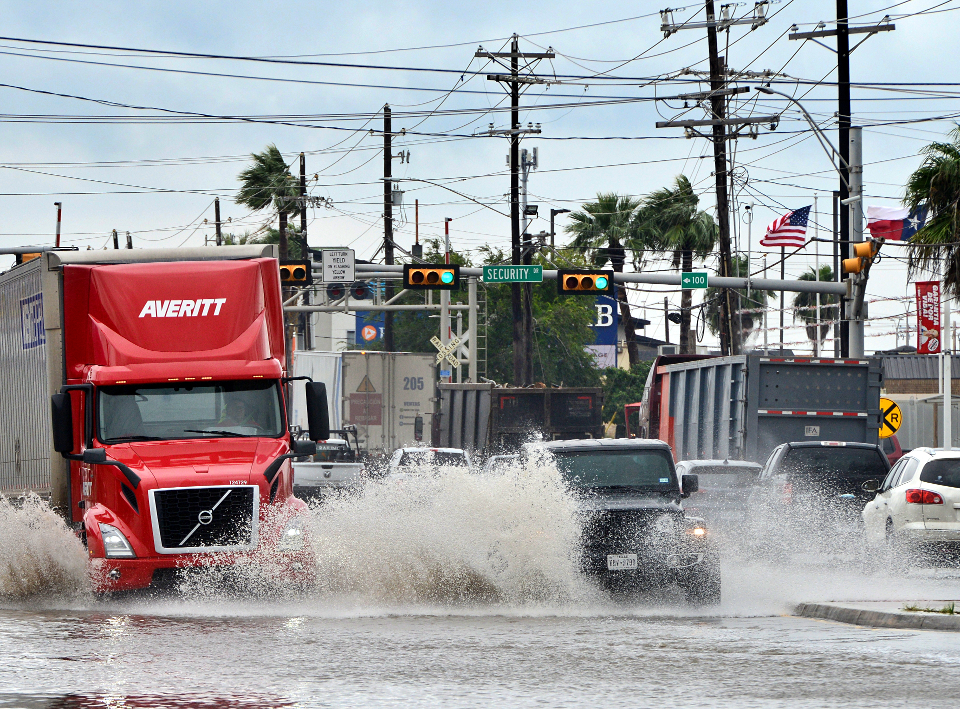
Parts of north Brownsville, for rain, saw rain so intense inside the space of an hour Sunday afternoon that some major roads and many side roads became impassable due to high water, as resacas topped seawalls and water was well above curb level in many neighborhoods.
Preliminary rainfall data for Sunday afternoon from the National Weather Service Brownsville-RGV station ranged from nearly 1.5 to nearly 4 inches in extreme southern Cameron County, including Brownsville (4.67 inches in Port Isabel). West and north of Brownsville, totals were higher in most of western and northwestern Cameron County, from 3.42 inches to 5.38 for west Harlingen, and 5.61 inches in an isolated area west of I-69E between Harlingen and Brownsville.
Extreme northeastern Hidalgo County received an estimated 2.65 inches, while a pocket of south-central Willacy County picked up 2.06 inches, according to NWS.
In an update issued early Monday, forecasters said the big news was the potential for another round of showers and thunderstorms — and potentially heavy rainfall — for the same area, thanks to continuing moisture and instability in the atmosphere. Forecasters described those condition as a recipe for “convective development,” and said minor flooding could occur.
Rain chances were expected to decrease significantly by the evening hours, with much more isolated rain chances for Tuesday, with the best chance along the coast with the arrival of sea breeze in the afternoon. The cloud cover that had been tamping down temperatures Sunday and Monday was expected to give way to more sunshine and higher highs — though still in the low 90s — starting Tuesday, with lows in the high 70s, and excessive humidity.
The extended forecast calls for “slightly above-normal temperatures for deep south Texas,” according to the NWS.
NWS Warning Coordination Meteorologist Barry Goldsmith said that, unofficially, this September ranks as only the 16th wettest on record (since 1878) so far, with nearly 9.97 inches of rain having fallen during the month as of Monday morning. September is historically the wettest month of the year for the Valley by far, though history records much soggier Septembers, he said.
“The wettest September on record was a whopping 30.57 inches during the multi-hurricane season of 1886,” Goldsmith said.
September 2024 won’t be anywhere near that, though the top 10 (12.61 inches) is within striking distance, he said. Still, the rains so far haven’t fallen in sufficient quantities over the inflow regions of the Amistad and Falcon reservoirs upriver to put much of a dent in the persistently low water levels that have forced Valley communities to impose increasingly strict water-usage restrictions.
As of early Monday afternoon, Amistad was at 20.9% of total conservation capacity, an improvement over August but not nearly enough, Goldsmith said.
“While this is an increase since the 19.3% before the September rains that reached the inflow region, those rains were a far cry from what’s needed, and below the average this time of year to produce a more notable rise,” he said.
Falcon was at 11.3% of total conservation capacity, up from 10.1% before Sept. 1, including a recent tick up from a quick burst of rainfall Saturday night over the reservoir’s inflow region, mostly along the Rio Grande near Laredo and points north, Goldsmith said.
“For the Texas share (of conservation capacity), Falcon is sitting just a hair above the 30-year lows and Amistad remains at or near 30-year lows despite recent slow rises,” he said.


