

|
Only have a minute? Listen instead
Getting your Trinity Audio player ready...
|
Hurricane Beryl? Never mind. Did we mention dangerous heat?
Another tropical opportunity to raise water levels in the drought-stricken reservoirs that supply the Rio Grande Valley has come and gone in the form of Hurricane Beryl.
Only a few days ago, maintaining a westerly-northwesterly course thanks to a mid-level high-pressure ridge over the southeastern United States, the system, after crossing the Yucatan Peninsula, appeared to have its sights set on the Valley. Meteorologists predicted Beryl would make landfall probably as a tropical storm somewhere near northern Mexico or deep South Texas, while underscoring the possibility that it could turn north and make landfall farther up the coast.
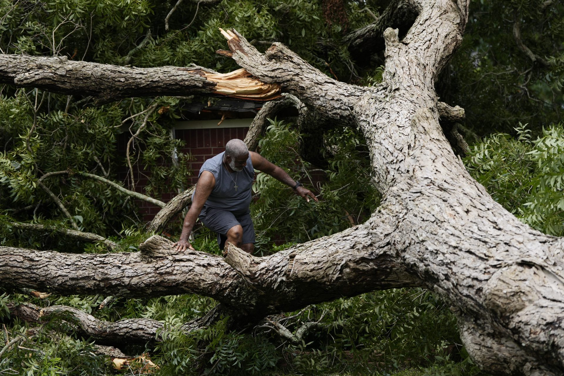
That’s what happened, Beryl hooking to the northeast over the weekend thanks to a weakening of the ridge that had been keeping it moving west-northwest. Staying over the Gulf longer allowed it to rebuild into a strong Category 1 hurricane. Houston took a beating Monday after the storm made landfall at Matagorda before dawn.
Nobody likes the roof damage, flooding or other problems that can accompany a robust tropical storm, though it might have done Amistad and Falcon reservoirs some good, and by extension the communities and agricultural interests that depend on them.
Ben Ellzey, a forecaster with the National Weather Service Brownsville-RGV station, emphasized the difficulty of predicting where a tropical system will go and how strong it will be when it gets there — especially after passing over a sizable land mass such as the Yucatan Peninsula.
“It’s usually pretty challenging to forecast the path and intensity of a hurricane after it crosses a large area of land like that,” he said. “As the storm lost structure as it made landfall, it made it harder to forecast where it would go afterwards.”
Many factors decide a tropical system’s behavior, Ellzey stressed.
“It was within the realm of possibility that it could have come here, looking at something between a tropical storm to a low-end hurricane. … We likely would have seen more rain for the reservoirs, but how much would still be a question,” he said.
The NWS issued its last update on Beryl on Sunday, reporting that beneficial rainfall was no longer expected for the populated portions of the Valley, though “spotty, heavier rains are likely with weather disturbances later this week. Also, there was “no appreciable rainfall into the headwaters/tributaries that feed Amistad and Falcon,” the NWS said, predicting “continued record to near-record low levels until further notice.”
“Attention turns to potentially dangerous heat Monday and Tuesday,” forecasters warned.
Ellzey noted that Atlantic hurricane season is still in full swing, which means other potential opportunities for relief for the Valley water-wise. Hurricane season officially ends Nov. 30.
“We have a lot of hurricane season left,” he said. “The National Oceanic and Atmospheric Administration) forecast was for this to be an active hurricane season. There’s definitely potential for us to see more storms this year, so everyone should just be ready.”


