|
Only have a minute? Listen instead
Getting your Trinity Audio player ready...
|
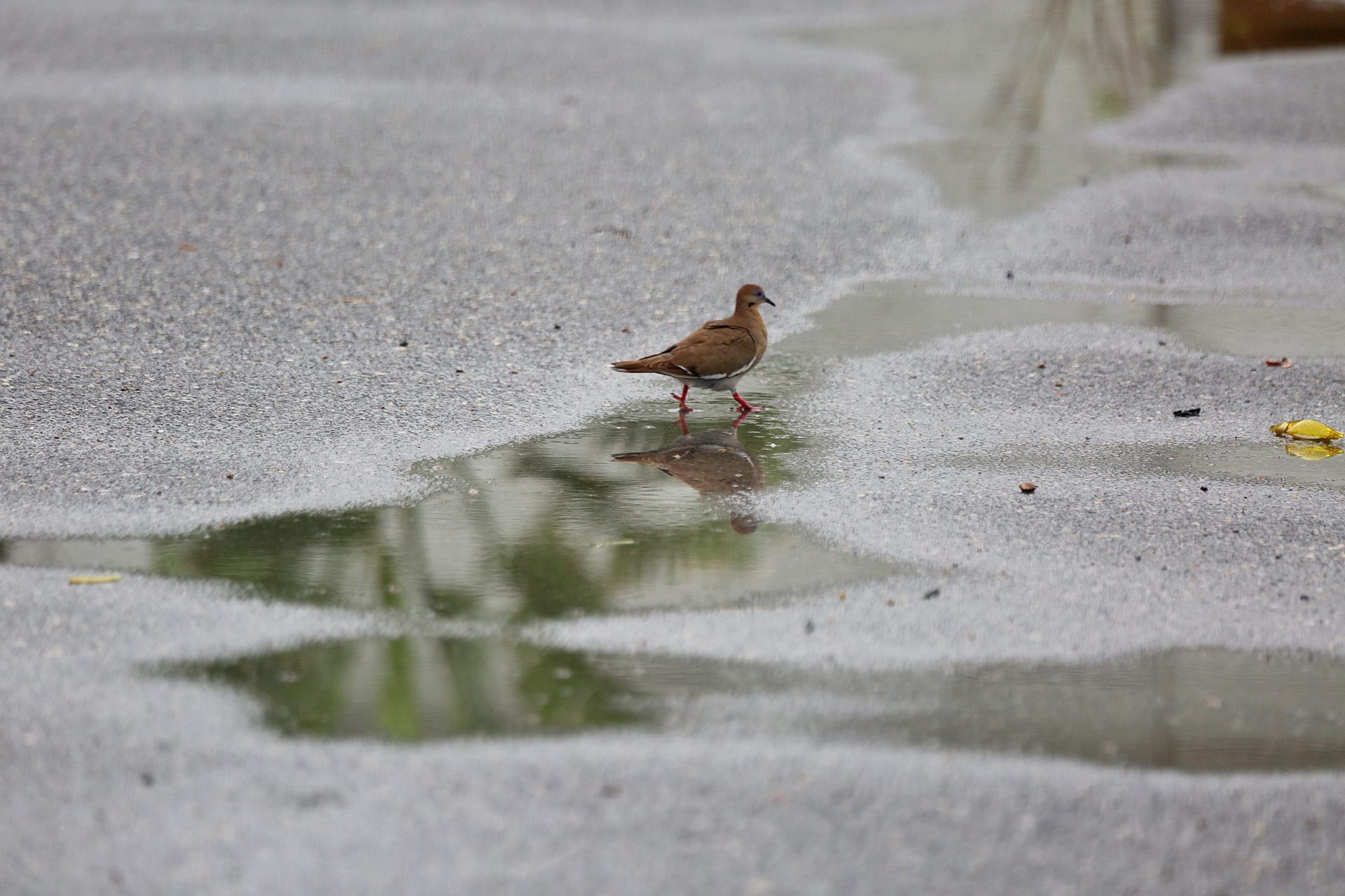
Any Rio Grande Valley residents who got rained on Tuesday should considered themselves extremely lucky.
A weak energy wave moving in from the Gulf of Mexico spawned a few cells that seriously watered lawns in a few isolated spots, including parts of Brownsville. The highest recorded rain total was recorded by a rain gauge in a neighborhood south of Alton Gloor Boulevard according to Barry Goldsmith, warning coordination meteorologist for the National Weather Service Brownsville-RGV station, who was among the fortunate.
Rain chances return to the forecast next week but for a totally different reason, he said. The high-pressure ridge/La Canicula heat dome that’s been broiling the Valley for over two months is expected to migrate in a northeasterly direction, centering itself around the Central Plans to the Lower Ohio Valley over the weekend or early next week, Goldsmith said.
When that happens, the clockwise flow of air around the dome will come from the east where it will have passed over the warm, humid waters of the southwestern Atlantic Ocean and Caribbean Sea, injecting deeper tropical moisture into the Gulf, he said. Computer models show a disturbance embedded within that westward flow, though whether it develops into a cyclone is anybody’s guess right now, Goldsmith said.
Same with where it will wind up, which will depend on whether the disturbance enters the Gulf around the Florida Keys, the Florida Panhandle or somewhere in between, he said.
“That will make all the difference in terms of where the associated precipitation core goes, and that’s why you’re seeing things like 20 percent probability of developing and 80 percent uncertainty, so we’re not sure anything will go,” Goldsmith said.
If it does, it will definitely be heading west and at a good clip, steered like a beach ball by the eastern winds flowing around, he said, adding that meteorologists should have a pretty good idea by the weekend or early Monday whether it will move into the northern or southern half of the Gulf.
“And then by Monday night or Tuesday we’ll probably have an idea of whether this thing is going to form into anything, or remain an open wave, and where it will take its precipitation plume,” Goldsmith said.
Some models show it hugging the northern Gulf coast before going into southeast Texas, while other models show it plowing through the middle of the Gulf and hitting the Texas coast at midpoint, or possibly going as far south as the Lower Valley, he said.
“And still other models have it farther south,” Goldsmith said. “At this point it’s wait and see. We obviously are hoping for a break in this (heat) pattern to get some clouds and rain. That would be a wonderful thing, to have a day or when the high temperature is only 85 or 90 versus 100. that would happen if this system comes far enough south.”

If it hugs the northern coast and turns into a cyclone, however, it won’t be good for South Texas, which will be on the hot backside thanks to the flow of dry air around the southwestern side of the system, he said.
“We’ve actually had heat spikes that pop us into the mid to upper 100s around a cyclone that moves into, say, Port Arthur, Beaumont, Lake Charles area,” Goldsmith said. “That would be the worse thing that we could get, because not only do we not get the rain, we get a secondary heat spike on top of the fact that we’ve had basically 67 days of record to near-record heat. We don’t need that.”
For the Valley, the possibilities range from no rain, but extra heat, to flooding rains and wind damage if a cyclone forms and moves right over the area, he said.
“The key thing is what will the wind shear profile look like aloft? We don’t know yet,” Goldsmith said. “We do know that this will have moisture with it, which is a necessary ingredient to form a tropical cyclone. And it’s coming from very warm Gulf waters, which is more than sufficient for the high-octane fuel. And being underneath a strong, heat dome ridge means that there’s no intrusion of drier, cooler air that could change the outcome.”
NWS is advising residents to update their emergency plans, whether they plan to stay or go in the event of a major weather event, replace flashlight batteries, replenish food and water stocks, shore up homes and businesses, and take other necessary precautions.
As for the heat dome? Don’t worry, it’ll be back. And depending on how long it sticks around, it could compound an already bleak drought situation.
“The consensus has generally been that the Canicula ridge will build back into the Canicula position,” Goldsmith said. “Of course the heat will come back. Exactly how far south and west it goes is a little bit unknown. But there is a potential as we head into late August and especially into early September, which is typically when we start getting really wet here, model trends have been favoring a return to the heat dome where it’s been for much of the summer.”


