
|
Only have a minute? Listen instead
Getting your Trinity Audio player ready...
|
The unusually powerful heat dome sitting over the Rio Grande Valley and creating dangerously high temperatures doesn’t seem to be in any hurry to leave.
The National Weather Service Brownsville-RGV station announced Wednesday that an “Excessive Heat Watch” for Brooks and inland Kenedy counties for 1 p.m. to 7 p.m. Thursday has been expanded to include Hidalgo and Starr counties. The forecast is for dangerous heat to continue into the weekend and into next week, according to the station.
Thursday’s heat watch follows Wednesday’s heat advisory of heat indexes (feels-like temperatures) up to 115 degrees, caused by a combination of high temperatures and humidity for all of South Texas, except for South Padre Island.
“Very dangerous heat (indexes) are expected on Thursday afternoon for Hidalgo, Starr, Brooks and inland Kenedy Counties,” NWS said Wednesday morning.
Meteorologists said the “Excessive Heat Watch” might be upgraded to an “Excessive Heat Warning” for those counties within the next 24 hours and that yet another heat advisory likely would be issued for the rest of deep South Texas and the Valley for Thursday.
“Life-threatening heat will continue on Friday and through the upcoming weekend,” NWS said. “Additional heat watches, warnings and advisories are likely over the next several days.”
The heat dome, or high-pressure ridge, will remain anchored from the Permian Basin through northern Chihuahua and Coahuila states in Mexico and extending into the Valley and western Gulf for at least another week, NWS said. It will mean even hotter actual (as opposed to feels-like) temperatures than the Valley has seen so far in the current heat wave, ranging from around 100 degrees along U.S. I-69E to 105 degrees along I-69C and 110 degrees or higher across portions of South Texas brush country and the Rio Grande plains, meteorologists said.
Barry Goldsmith, the station’s warning coordination meteorologist, said that if this week’s temperatures of “well above 100” in the McAllen area and elsewhere in the Valley persist for several more days it could make for an unprecedented June. He hasn’t seen anything like it in his 15 summers in the Valley, he said.
“I haven’t seen this kind of prolonged period of such high atmospheric temperature values in such a long duration, at least in June,” Goldsmith said.
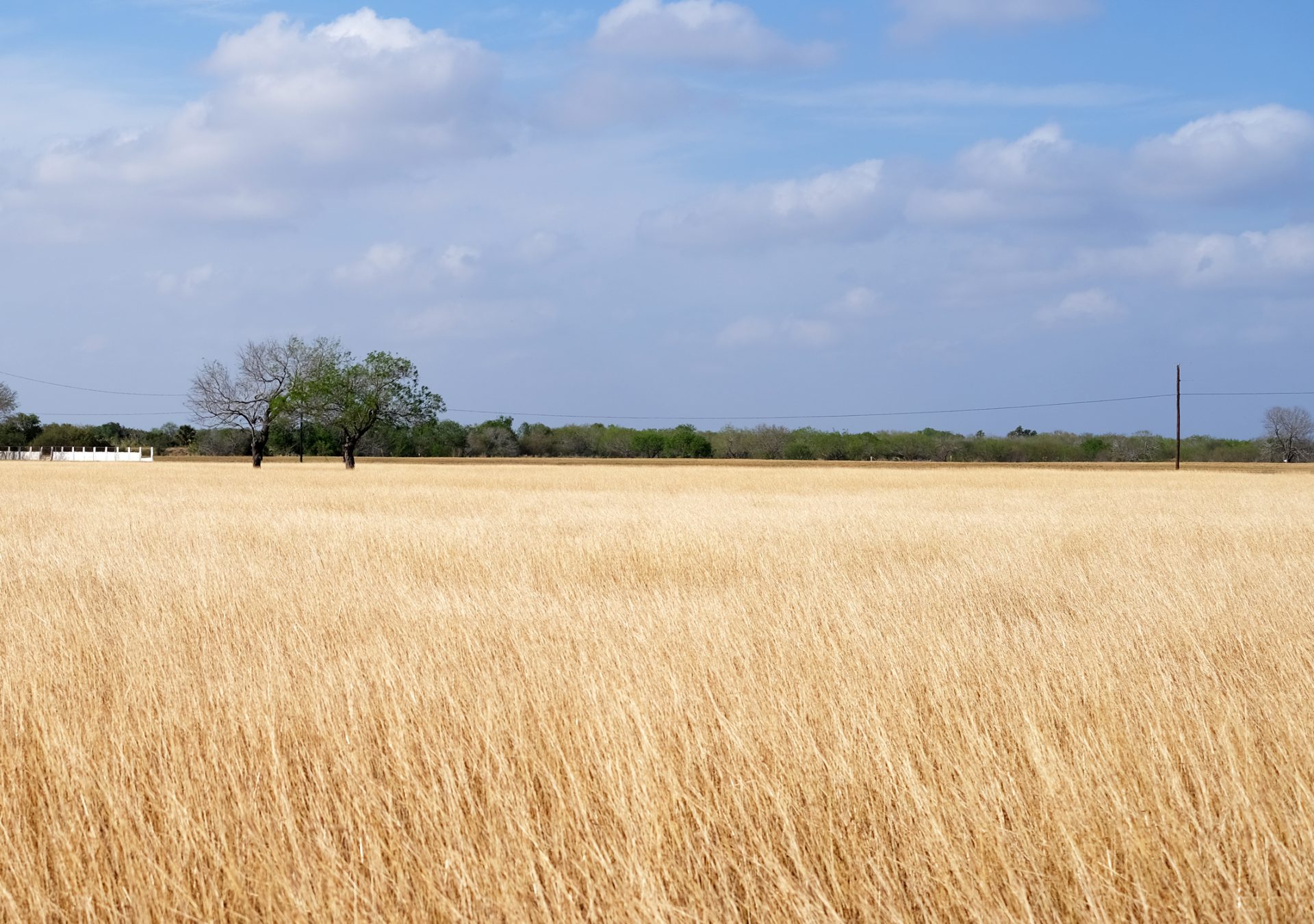
Even as the heat dries out the moisture left in the ground from recent rains, resulting in lower humidity, temperatures will still soar well above 100 in the Upper Valley, he said.
“When you have all the evaporation rates that are really high, you start turning green to brown in terms of your brush and your grasses,” Goldsmith said. “That will be most common along I-69C and west of there.”
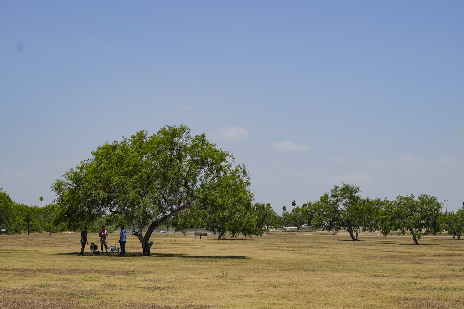
Given the fact that overnight temperatures and humidity (for now) remain high, making it impossible for residents without air conditioning to get relief, cooling centers are needed, he said, noting that libraries and malls are accessible during the day but not at night.
“It’s the cumulative effect of the heat over days,” Goldsmith said. “You’ll start to see people begin to suffer. Their hydration might not be enough just because the heat is so oppressive. Eventually the body begins to feel the effects of that. A string of days stretching into more than a week — even two weeks — is concerning. Hopefully people stay safe.”
The Valley is locked into the current weather pattern “for the foreseeable future,” he said, and though the NWS expects the high-pressure ridge to begin migrating north toward the end of June into July, it won’t mean instant relief for South Texas.
“Even as the heat dome shifts a bit north and starts to really impact central and north Texas, we’re still at the base of it, so we’re still in it,” he said.


