|
Only have a minute? Listen instead
Getting your Trinity Audio player ready...
|
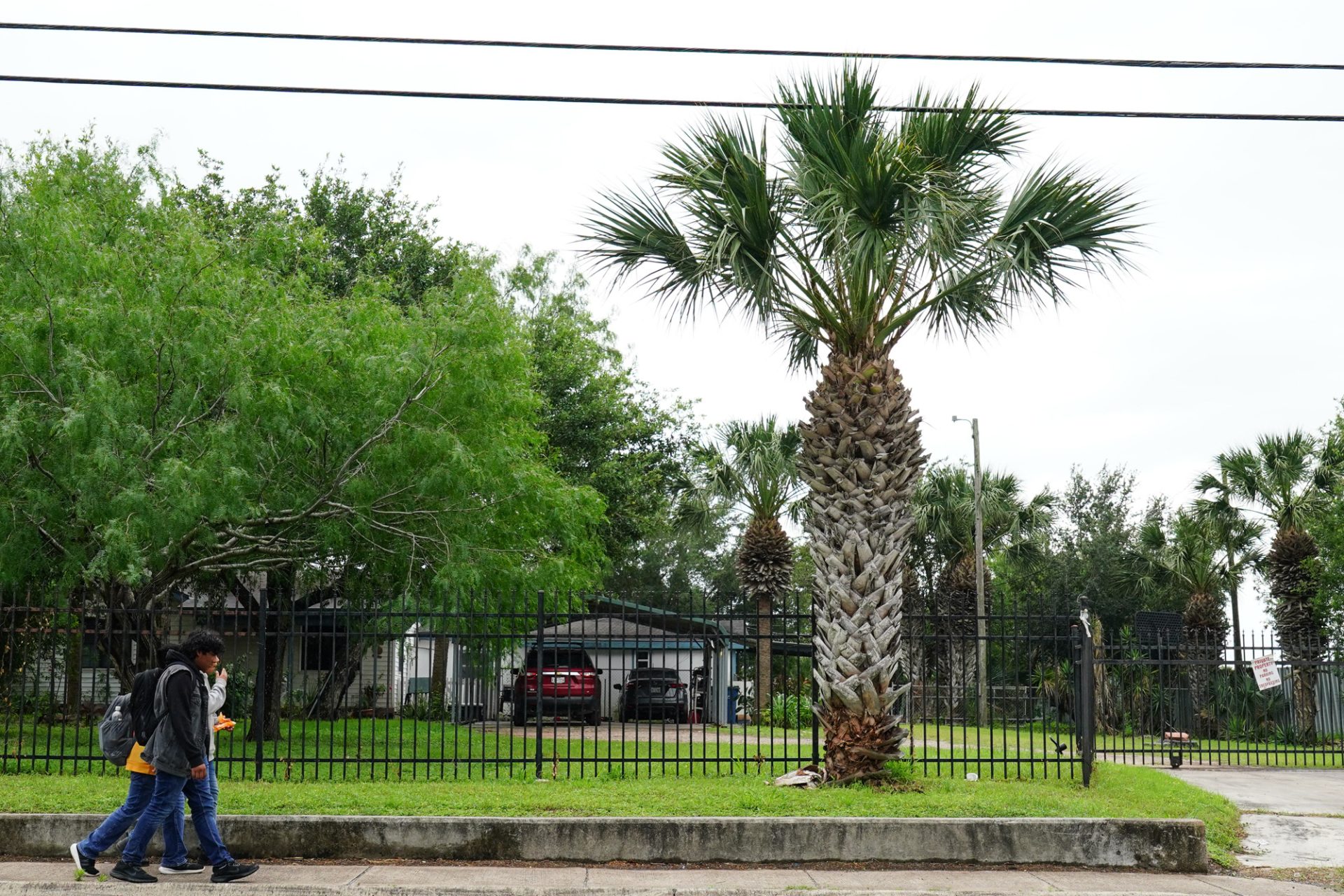
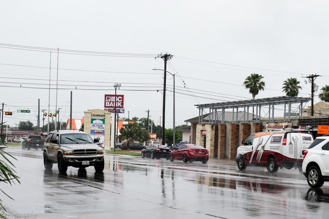
While the rains that played out in parts of the Rio Grande Valley on Tuesday were mostly beneficial, the National Weather Service is cautioning that conditions Thursday could prove more troublesome.
As of 4 p.m. Tuesday, an area stretching from Brownsville to east of Los Fresnos to Harlingen and northern Hidalgo County had received anywhere from 1/4 inch to an inch or 1 1/2 inches of rain, the NWS/Rio Grande Valley office in Brownsville reported.
Barry Goldsmith, warning coordination meteorologist at the Brownsville NWS office, said Tuesday’s rains were mostly beneficial due to the lack of warm, moist air in front of them to trigger the kind of hail that hit the McAllen area on Friday and the damaging winds that struck near Los Fresnos Sunday afternoon.

The forecast for Thursday “would be basically to be ready for torrential rains, potentially damaging winds, lightning. Those are the main factors for Thursday,” Goldsmith said early Tuesday afternoon.
Goldsmith said the Valley has been in an active weather pattern for about the last two weeks, “meaning that there are weather systems moving through the area every several days, creating welcome rainfall, fronts that go by keeping it from getting too hot,” and when there is warm, moist air in front of them, setting off the hail and damaging wind events of recent days.
“The good news with that is that unlike last Friday and Sunday, we didn’t get warm and humid air ahead of it enough to create the instability in the atmosphere to make the rain that’s falling come with a lot of thunder and lightning, gusty winds and hail. That’s not happening today. It’s a very beneficial rain,” Goldsmith said.
Wednesday’s weather should be a mix of sunshine and clouds, with winds turning back to the warm southeast wind and temperatures rising into the upper 80s and lower 90s, he said.
The forecast for Thursday “would be basically to be ready for torrential rains, potentially damaging winds, lightning. Those are the main factors for Thursday,” Goldsmith said early Tuesday afternoon.


Goldsmith said forecasters are watching for a stronger disturbance to come across South Texas during the daytime on Thursday.
“While not exactly sure how the timing will play out coming through, that will run into more humid air than what we have right now, maybe not as much as we had on Friday but maybe similar to what we had on Sunday. And while we’re not explicitly forecasting the severe weather that we had last Sunday for Thursday, the potential exists, so people will need to follow the weather tomorrow for any updated outlooks for Thursday’s potential for it being a little bit rougher,” he said.


