As of Monday night it was still there on the National Hurricane Center’s tropical weather outlook page, the homely little yellow circle indicating a weak tropical disturbance loitering off the coast of Belize and tracking toward South Texas, but with virtually no hope of forming into a cyclone.
You kind of felt sorry for it. Indeed, by Tuesday morning it was gone, deemed by NHC meteorologists hopelessly disorganized and no longer worthy of even a yellow circle.
“There was really only one computer model out of quite a few that we look at that was showing anything,” said David Reese, meteorologist with the National Weather Service Brownsville/Rio Grande Valley station. “Once that stopped showing for the past 18 or 24 hours, NHC was like, eh, we can stop worrying about that too, too much.”
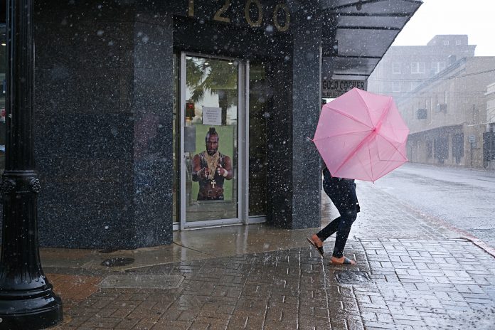
That said, there’s a good chance the little disturbance that couldn’t — now a mere tropical wave — will water lawns and Labor Day weekend barbecues.
“It will bring some rain to deep South Texas,” Reese said.
The forecast as of Tuesday afternoon was for a 40 to 50 percent chance of rain across the Rio Grande Valley Friday, increasing to 50 to 70 percent on Saturday, he said.
“Saturday’s looking kind of like the rainiest day, Saturday and Sunday,” Reese said. “Sunday could be a little bit more widespread. We have 60 to 70 percent, maybe even some 80 percent chances right along the coast.”
The rain forecast for Labor Day itself was around 60 to 70 percent, he said.
“It’s not necessarily going to rain that whole time,” Reese said. “It’s just rain chances are going to be best Saturday, Sunday and Sunday afternoon.”
The forecast called for rain totals between a half-inch and one inch, possibly up to two inches right along the coast, he said, adding that the welcome moisture will “help keep the drought at bay.”
“Now if we can get some of this up near Falcon Dam up in Zapata County and into northern Nuevo Leon and Tamaulipas, that would help us significantly in terms of reservoir storage,” Reese said. “If we see it fall outside the (Rio Grande) watershed, pretty much across the populated Rio Grande Valley, it’ll help our lawns, it’ll help our gardens, it’ll help some of the underground water storage. But in terms of the reservoirs, we want that to fall a little bit farther to the northwest.”
Filling up Falcon and Amistad reservoirs, which straddle the U.S.-Mexico border and have fallen to record or near-record lows during the drought, would require a robust tropical system like Hurricane Alex in 2010, though there’s nothing like that currently on the horizon, he said.
“We would need something slow-moving, tropical in nature, and we’re not looking at any of that possibility over the next five days,” Reese said. “Computer models are not really showing much in the next five to seven days.”
September, the peak of Atlantic hurricane season, is typically the wettest month for deep South Texas, so the window of opportunity is still open for a tropical rainmaker, though that window closes by around mid-October, he said. The good news is that it’s been raining a lot in the Big Bend region, which makes up a good portion of the watershed of the Rio Grande, which feeds the reservoirs, Amistad in Val Verde County (on the U.S. side) being the furthest upriver from Brownsville.
“They’ve been seeing a quite bit of rain over the past week to 10 days, so that’s helped fill up Amistad,” Reese said. “They got a good dose of rain up in that direction last night. In fact Del Rio was under a flash flood warning early (Tuesday) morning. That’s going to filter down the river here slowly but surely. Things certainly are looking much improved compared to the beginning of the month.”
That’s on top of heavy rains that fell over the watershed a little over two weeks go, arresting the drop in reservoir levels and mostly erasing drought conditions across the Valley. According to a NWS bulletin released late Tuesday, Amistad was 27.5 percent full as of Tuesday compared to 22 percent on Aug. 15, with the water level continuing to rise. Levels at Falcon remained near 13.3 percent for the past week, but still up from 10.76 percent on Aug. 15.
According to the NWS bulletin, in addition to scattered thunderstorms predicted to begin Friday, much more rain could be on the way, noting that “the stage is set for potentially very heavy rainfall in September.” Reese said that if that comes to pass, it will be typical Texas.
“It’s one of those classic things: Every drought ends in a flood,” he said. “That’s what they saw across central and northern Texas last week, with Dallas getting all of that rain. Things can flip and flip in a hurry.”


