

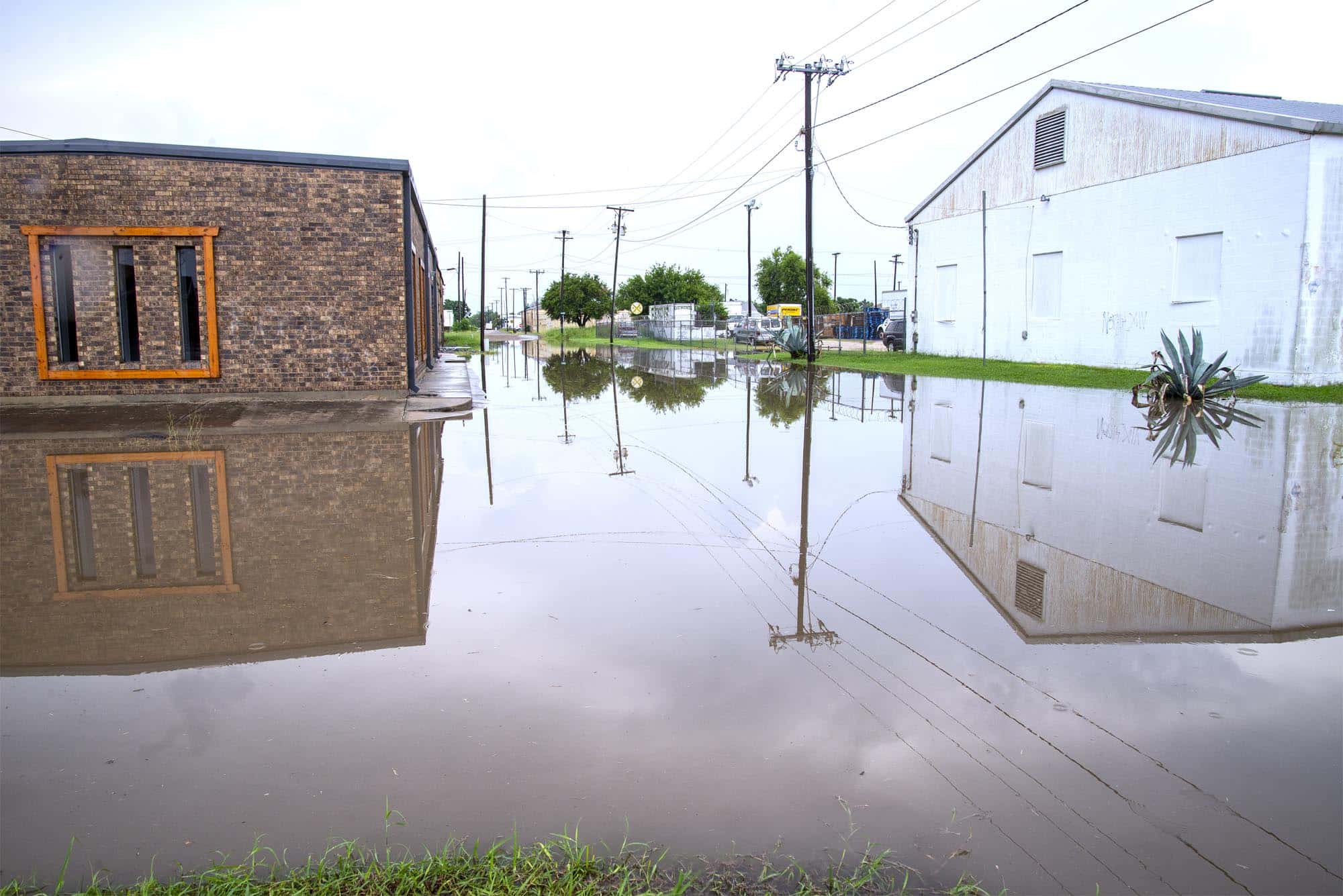
HARLINGEN — Swirling thunderstorms played their hit-and-run game with Cameron County on Tuesday, dropping up to 2 inches of rain in some areas and leading to isolated street flooding.
Claps of thunder began rolling across the region in late morning and continued through the afternoon, with showers widely scattered but heavy in some localized areas.
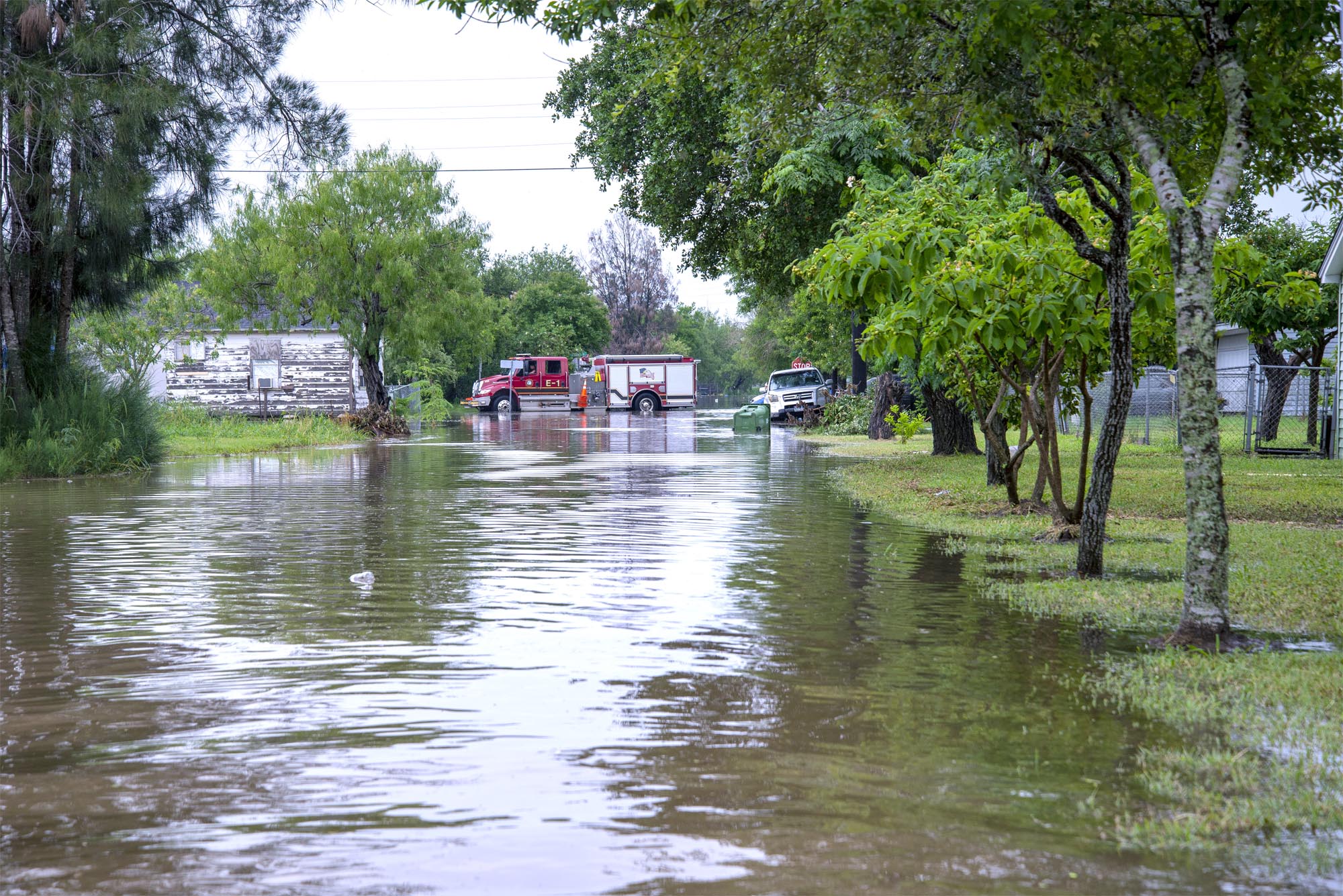
The southeast side of San Benito saw a significant amount of street flooding along Business 77 and in nearby neighborhood streets.
At some houses in that area, the water went up into the driveways.
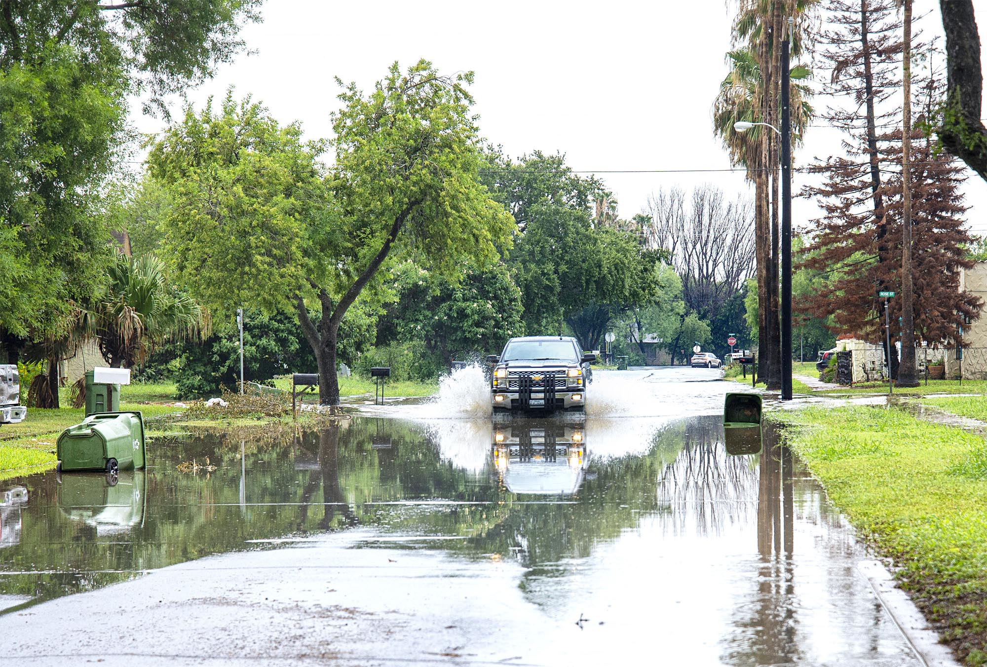
At the corner of Travis and Rose streets, flooding caused many motorists to approach the intersection with caution as they drove through the deep water.
Bowie Street next to the post office was heavily flooded. Traffic coming up on that area avoided it by turning around and going around the block.
Vehicles were seen splashing up water from their wheel wells.
Tom Hushen, the Cameron County emergency coordinator, said that as of Tuesday afternoon, he had not gotten any reports from the sheriff’s department and said in Brownsville, throughout the downtown area, there was just light rain.
But he added, “I know Harlingen got hit pretty hard with 2 to 3 inches so that’s why we’re checking that area.”
By around 4 p.m., Valley International Airport in Harlingen had received 1.12 inches, Brownsville-South Padre International Airport had received 0.36 inches for the day, and McAllen-Miller International Airport had recorded just a trace of moisture, although northern Hidalgo County did experience some rainfall, said Joseph Tomaselli, forecaster at the weather service in Brownsville.
“We’ve been under the influence of high pressure in the middle layers of the atmosphere now for the past couple of weeks, which is why we’ve had this sustained hot and dry weather,” Tomaselli said Tuesday.
“That high pressure’s been in control for a while now and gave us hot and dry but today (Tuesday) the high pressure has backed off farther to the west, and has basically allowed a weakness in the atmosphere overhead which is allowing for showers and thunderstorms today,” he added.
The weather service in Brownsville issued a flood advisory for Cameron and Willacy counties for two hours at 11:30 a.m., and then extended it until 3:30 p.m.
Wednesday there will be a 20 percent chance of thunderstorms in the Rio Grande Valley, with highs ranging from 93 to 101, according to NWS forecasters.
The rest of the week will be windy but dry, with temperatures about the same as Wednesday. The next chance of rain is a 20-percent chance of thunderstorms on Sunday.


