|
Only have a minute? Listen instead
Getting your Trinity Audio player ready...
|
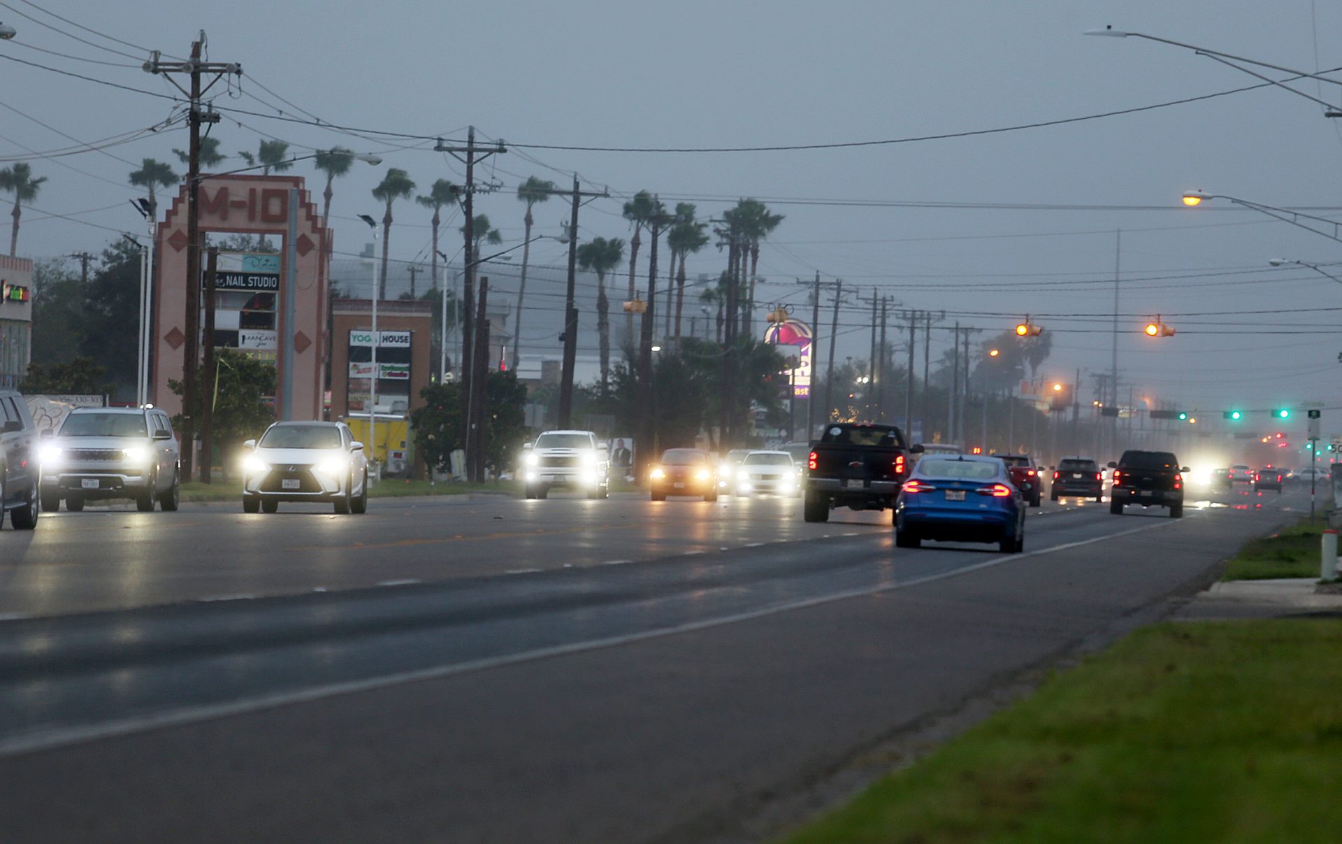
The Rio Grande Valley is in for a warmer and drier than normal late autumn and early to mid-winter, according to the new three-month outlook from the National Weather Service Brownsville-RGV station.
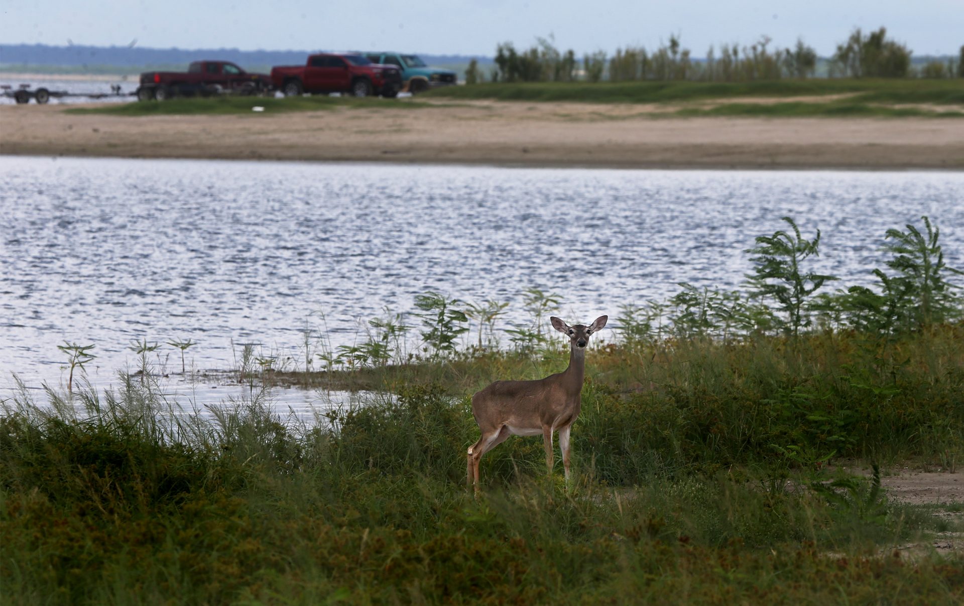
This is less than ideal, considering continued record to near-record low water storage levels at Amistad and Falcon international reservoirs, which means continued restrictions on agricultural and municipal water use, NWS noted. Forecasters are highly confident that the United States’ and Mexico’s total combined storage in the reservoirs will remain at or near record lows through January, the weather service said.
The likelihood is that water storage levels “will tend to fall slowly but steadily with a continued and potentially expanding water supply crisis,” NWS said. October rainfall varied across deep South Texas, with sufficient rain to maintain local water supplies in Cameron, Willacy and Kenedy counties compared to the Mid- and Upper Valley, with the Rio Grande Plains beginning to slowly dry out, meteorologists said.
“Water tables and underground water reserves from Cameron through Kenedy are in a better position to handle at least the first half of the November-January period,” NWS said.

With the 2024 Atlantic hurricane season effectively over as far as South Texas is concerned, “the time for necessary, abundant tropical rains to runoff into Amistad and Falcon has ended,” the weather service said.
Along with lower reservoir levels, the likelihood of drought is growing, which means the threat of wildfires as the season advances thanks to a surplus of still-abundant grass and brush to serve as fuel. Dryness and drought conditions are likely to expand deeper into autumn — especially November to December, forecasters predicted, while the potential for the spread of wildfires probably will increase deeper into fall.
“Drier conditions that include low/very low humidity and gusty northwest winds following early season cool fronts could increase this threat by late November and especially December through early 2025,” NWS said.
Although areas with the worst dryness and drought will be most at risk, Cameron and Kenedy counties may also be at risk for wildfires by December and January thanks to maximum growth of brush and grass caused by rainfall in June, July, September and October, forecasters advised.
Barry Goldsmith, NWS warning coordination meteorologist, said the reason for the warmer/drier outlook include a more than 70% chance of a weak La Nina climate pattern setting up, plus the continuation of other oceanic/atmospheric “teleconnections.”

Meteorologist are also predicting a “low but notable chance for a hard freeze and/or some icing in at least some areas for a third early to mid-winter in a row,” NWS said.
South Texas can expect increasingly cooler fronts as November progresses, with the potential for a sharp cold front increasing the last two weeks of November, continuing through January, NWS said. As for the potential for an “Arctic Express” cold front, longer range forecast trends for December through February and January through March “are hinting at colder than average temperatures across the northern tier of the (United States), from North Dakota through Washington State,” according to the weather service.
Goldsmith stressed that the drier-than-normal forecast doesn’t mean no rain for the next three months.
“This forecast does not mean it won’t rain,” he said. “Nor does it mean there won’t be cool or cold snaps. All mid-to late-autumn through mid-winter periods include several of each. In fact, we’ll be keeping an eye on the potential for at least one Arctic Express event as we move into late December and January.”


