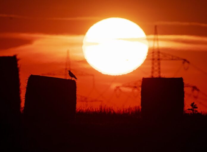
BROWNSVILLE — July was the hottest month measured on Earth since records began in 1880, the latest in a long line of peaks that scientists say backs up predictions for man-made climate change.
And as August slogs on, there is no relief in sight.
A high pressure dome over parts of the United States bringing hot temperatures to the Rio Grande Valley is starting to shift a little but not enough to bring cooler temperatures to the area.
Temperatures have continued to remain in the high 90s and the mid 100s across the Valley.
“That is what is keeping us under this really hot pattern,” said Tim Speece, lead forecaster for the National Weather Service in Brownsville.
In the Valley, Speece said there is no strong cool-down on the horizon and temperatures will continue to remain high until the end of the month.
“We will probably still have to be concerned with heat index advisories for the rest of August,” he said.
The U.S. National Oceanic and Atmospheric Administration said yesterday that July was 1.71 degrees warmer than the 20th century average of 60.4 for the month.
Because July is generally the warmest month on the calendar, meteorologists say this means it also set a new all-time monthly record for the past 140 years.
Last month’s temperatures narrowly topped the previous July record, set in 2016, by 0.05.
According to NOAA’s records, 9 of the 10 hottest Julys on record have occurred since 2005 and last month was the 43rd consecutive July above the 20th century average.
The record temperatures notched up in July were accompanied with other major landmarks. Average Arctic sea ice, for example, was almost 20% below average in July, less even than the previous historic low of July 2012.
The July peaks came hot on the heels of a sizzling June, which ended up being the hottest June recorded over the past 140 years.
The reason behind the Rio Grande Valley’s hot temperatures is known as “La Canicula,” which is a dome of high pressure that provides “hot to very hot, largely rain-free, and frequently breezy weather to the Valley and Deep S. Texas,” Barry Goldsmith, warning coordination meteorologist/acting meteorologist–in-charge at the NWS Brownsville, said last week.
Goldsmith said while the actual calendar for “La Canicula” is July 3 through Aug. 11, the periods can last longer, which appears to be the case for the heat to last deep into August.
According to the five-day outlook for the RGV, “Temperatures will continue to climb into the upper 90s across the east to mid 100s west. Rain chances will gradually begin to increase early next week, especially across the lower valley and east of I69E. Heat indices will remain high so don’t forget to follow those heat safety guidelines.”
Speece said there’s a possibility for a better chance of rain toward the end of next week and perhaps the last week in August. “Some of our longer range models are indicating that we might actually get some rainfall.”
September is normally the wettest month for the Valley and with the peak of the Atlantic hurricane season almost upon us — and the non-presence of El Nino — forecasters urge everyone to keep their eyes on the Atlantic, Caribbean and the Gulf of Mexico should any tropical system develop.
El Nino normally suppresses any tropical development.
“That could potentially open up the doors as we head into late August and early September that we will have to watch out for development anywhere in the Atlantic in addition to the Gulf of Mexico and Caribbean also,” Speece said.
Speece said according to the National Hurricane Center in Florida, no tropical development is expected in the next five days.
“As this ridge weakens over the area that could give us a little bit of a window starting maybe after five days from now we could get a window of opportunity for some tropical development out there in the Caribbean or Gulf of Mexico,” Speece said.
The Associated Press contributed to this report.


