
|
Only have a minute? Listen instead
Getting your Trinity Audio player ready...
|
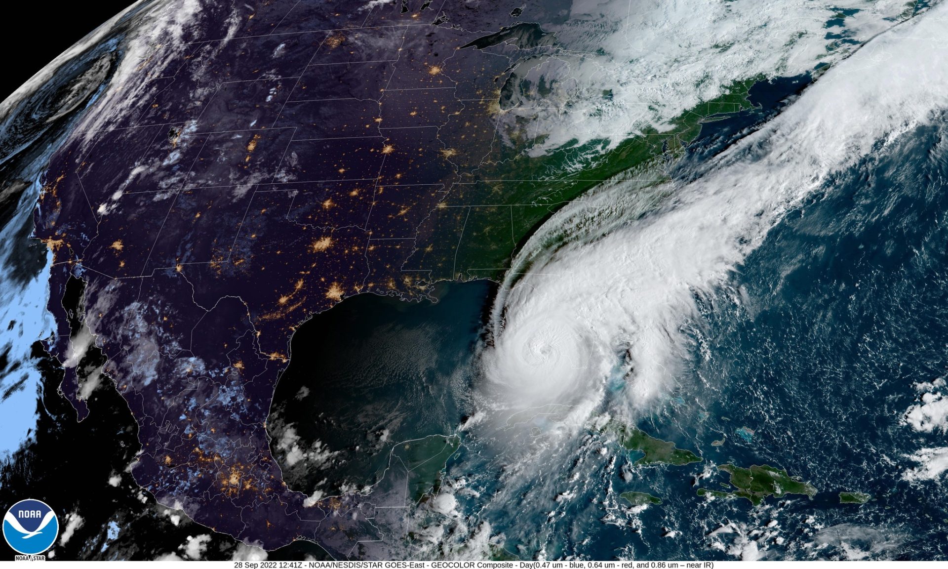
The National Oceanic and Atmospheric Administration on Thursday announced its 2023 Atlantic Hurricane Season Outlook.
Speaking at a press conference in Maryland, NOAA Administrator Richard Spinrad said the agency is predicting a “near-normal” season.
“Specifically, there’s a 40 percent chance of a near-normal season, a 30 percent chance of an above-normal season, and a 30 percent chance of a below-normal season,” he said.
NOAA is predicting 12 to 17 named storms with top winds of at least 39 mph. Of those, 5 to 9 are forecast to become hurricanes with maximum winds of at least 74 mph, Spinrad said.
“This includes one to four major hurricanes ranking as Category 3 or above and winds of at least 111 mph,” he said. “It’s time to prepare. Remember, it only takes one storm to devastate a community.”
The live-streamed announcement kicked off the 10th annual Hurricane Preparedness Workshop presented by the National Weather Service Brownsville-Rio Grande Valley station in Pharr on Thursday.
Among the presenters was NWS Warning Coordination Meteorologist Barry Goldsmith, who noted that opposing forces will be at work during this year’s Atlantic hurricane season, which starts June 1 and ends November 30.
On one hand, the climate pattern known as El Nino is poised for a dramatic comeback, which means increased wind shear at high altitudes that discourages the formation of cyclones, he said. On the other hand, the waters of the Atlantic basin where hurricanes are born are extremely warm, which encourages their development, Goldsmith said.
The Gulf of Mexico, meanwhile, is a “wild card,” he said.
Another factor potentially making more rather than fewer storms likely this season is the fact that something called the Atlantic Multi-decadal Oscillation (AMO) is still in its positive phase, increasing the probability of tropical activity in the Atlantic.
“If the AMO were negative and water temperatures were cooler than average in the main development region, I guarantee that number would have been like 8 to 12, 8 to 13 for named (storms), and the majors would have been 0 to 2,” Goldsmith said.
A major focus of the Thursday’s workshop was how to keep coastal residents from being lulled into a false sense of security just because a major storm hasn’t hit the Rio Grande Valley in a while.
“It only takes one,” Goldsmith said. “Fewer does not mean zero, and it can come out of nowhere.”


