
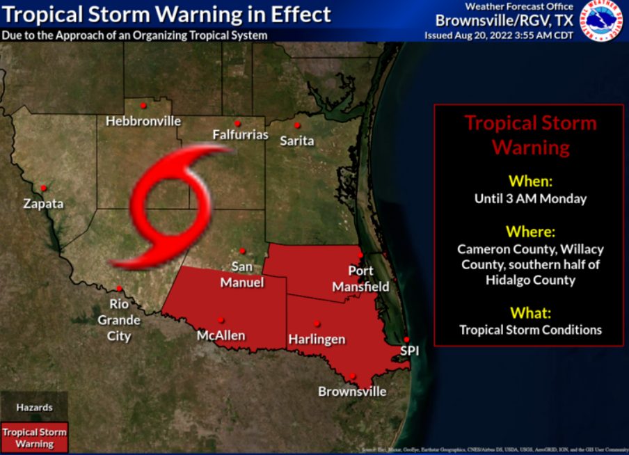
A tropical storm warning remains in effect Saturday for Cameron, Willacy and the southern half of Hidalgo County, the National Weather Service in Brownsville/Rio Grande Valley reports.
Landfall of tropical cyclone four is expected late Saturday afternoon or early Saturday evening along the Tamaulipas coast, about 40 to 60 miles south of Brownsville.
According to the NWS, the winds will begin sometime Saturday afternoon. Tropical storm winds, in the form of gust will be about 40 mph, with 45 mph wind expected in stronger squalls or across water or open land.
The tropical cyclone is located about 230 miles south, southeast of the mouth of the Rio Grande.
Localized flooding is possible, with flooding occurring in low-lying areas or areas with poor drainage.
Currently, rainfall amounts of 1 to 1 ½ inches are projected but there is the possibility for locally higher amounts, according to the NWS.
Surf waves could be dangerous on the beach by Saturday afternoon, with a high risk of rip currents in effect. However, low astronomical tide at 4:31p.m. will help mitigate coastal flooding threat.


