
|
Only have a minute? Listen instead
Getting your Trinity Audio player ready...
|
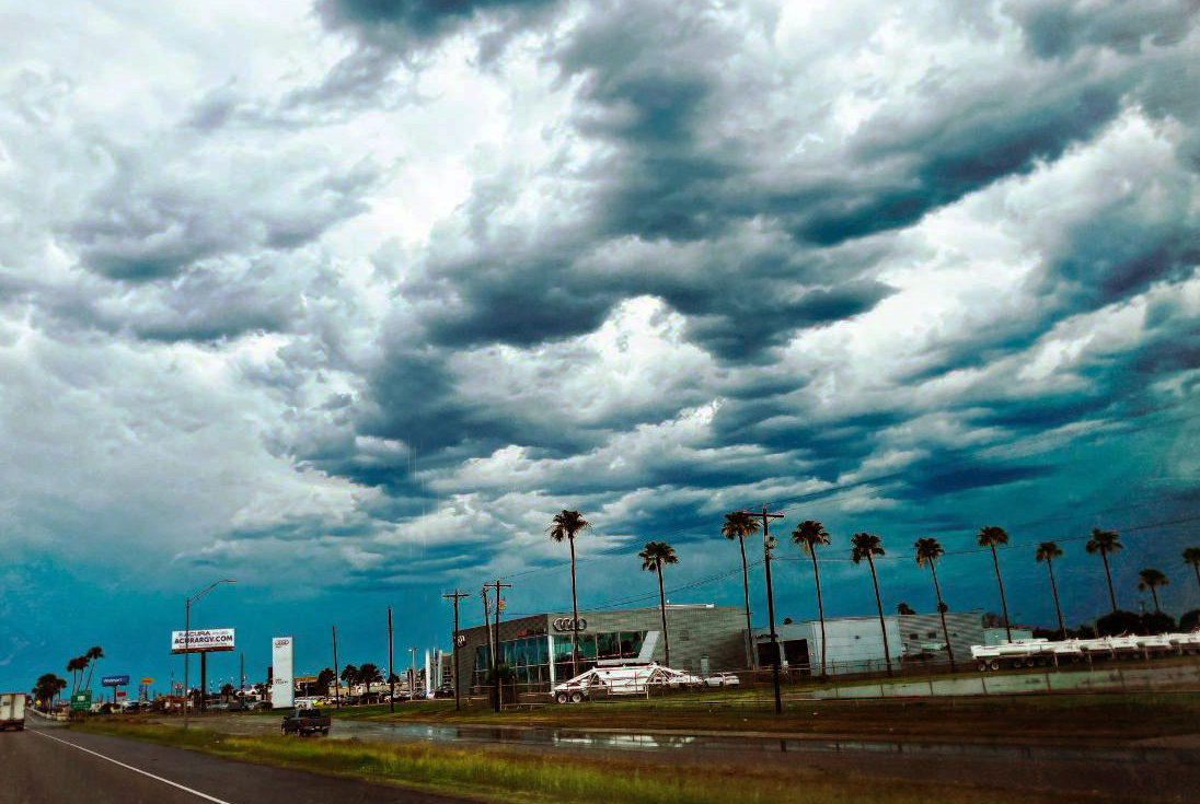
The heavy rains that fell up and down the Rio Grande Valley May 23-25 definitely put a dent in the drought, though not necessarily in the Climate Prediction Center’s outlook for a Valley summer hotter and drier than usual.
So says Angelica Soria, meteorologist with the National Weather Service Brownsville/Rio Grande Valley station. Neither did it do much to raise the levels of Falcon Reservoir in Zapata County, less than 19 percent full as of Wednesday even after the recent rains, she said.
Isolated areas of northeastern Zapata County were hit the hardest, with between 13 and 14.9 inches falling May 23-25, though the rest of the Valley also got a good soaking, an area near McAllen seeing between 7 and 8.9 inches during the period and most of Cameron County including most of Brownsville and Harlingen getting between 3 and 4.9 inches.
Forecasters knew the rain was coming but didn’t see a high probability of so much of it falling on the Lower Valley, though that possibility was included in the forecasting, Soria said. The computer models have a hard time predicting how much rain will be produced by these kinds of thunderstorms, which form mainly over Starr and Zapata counties and flow west to east, she said.
“We’ve seen that our area the atmosphere is prepped for severe weather, we’re just not always sure if it’s going to initiate or not,” Soria said. “Because sometimes it’ll be prepped but if you don’t have that certain trigger that gets everything going, it doesn’t pop up like that.”
The atmosphere seemed to have stabilized after the big show on May 24, thus the forecast for Wednesday morning didn’t call for much in the way of additional storms, but they happened anyway.
“There’s was a front that pushed through this morning and that’s all it took,” Soria said. “You never know if it’s going to be enough forcing for it to initiate storms but it definitely was (Wednesday). It’s called forcing but, what it is, it’s just a trigger for those storms to start. If there’s a certain trigger in the atmosphere and one storm starts it usually leads to more. It’s that one little trigger that sets off the rest of them.”
Thanks to a drought-busting few days in South Texas, the U.S. Drought Monitor Report scheduled for release today (May 26) was expected to show Zapata and Jim Hogg counties knocked down from extreme-to-moderate drought conditions to just moderate, while Cameron and Hidalgo counties have been downgraded from abnormally dry/moderate drought to “no drought,” Soria noted.
With major rain chances leaving the picture it’s time for a return to normal weather for this time of year, though with the start of Atlantic hurricane season June 1 there’s always the opportunity for soggy tropical events, she said.
“I think it’s going to calm down for a little bit,” Soria said. “We’re supposed to have some high pressure over us. I believe through Memorial Day weekend it’s supposed to be pretty warm. I would say the (long-term) outlook … is still the same as of right now. I don’t foresee that these events the past couple of days will change it all that much. If anything it just helps with our drought right now.”


