
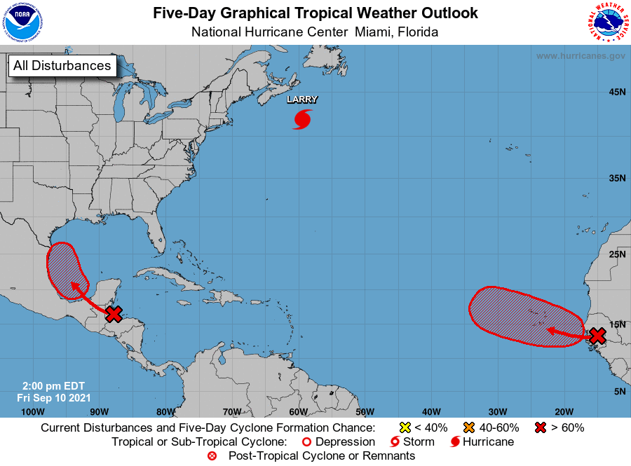
The National Hurricane Center in Florida continues to monitor an area in the southern Gulf of Mexico that has a high probability of developing into a tropical depression Sunday or Monday.
The potential for heavy rainfall and minor flooding is increasing for the Rio Grande Valley because of the tropical system, the National Weather Service in Brownsville reports.
“The heaviest rainfall will likely be more confined to the coastal areas, especially Saturday night through Monday, though heavy rain is also possible across the Mid and Upper Valley. Isolated flash flooding will be possible, especially with heavy thunderstorms,” writes Amber McGinnis an NWS meteorologist.
For the Lower Valley, there’s a 40% chance of heavy rain on Saturday increasing to about a 70% chance on Saturday night. There’s an 80% chance of heavy rain on Sunday, and a 60% chance of heavy rain on Sunday night. There’s a 70% chance of heavy rain on Monday and a 40% chance of heavy rain on Monday night. There’s a 40% chance of thunderstorms on Tuesday.
In the Mid-Valley there’s a 30% chance of thunderstorms on Saturday and a 40% chance of thunderstorms on Saturday night. There’s a 70% chance of thunderstorms on Sunday and a 60% chance of thunderstorms on Monday and a 30% chance of thunderstorms on Tuesday.
In the Upper Valley, there’s a 20% chance of thunderstorms on Saturday and a 40% chance of heavy rain on Saturday night. There’s a 70% percent chance of heavy rain on Sunday and a 50% chance of heavy rain on Monday. There’s a 20% chance of thunderstorms on Tuesday.
The NWS reports the tropical development could bring an increased risk of rip currents, increased swell, and minor coastal runup at South Padre Island and Boca Chica beaches beginning on Sunday into next week.
McGinnis said confidence remains above average for the increased chances of showers and thunderstorms with heavy rainfall across Deep South Texas with some uncertainty remaining on exact amounts, location of the heaviest rainfall, as well as tropical development and track.
Potential Threats and Impacts
>> Rainfall of 2-4”, mainly along the coast, with locally higher amounts;
>> Flash flooding and minor flooding, especially across low-lying and poor-draining areas;
>> Lack of rain in recent weeks has allowed for oil to accumulate on roadways potentially increasing the risk of losing control of vehicles;
>> Elevated risk of rip currents throughout the weekend and into next week;
>> Elevated swells across the Gulf waters starting this weekend;
>> Minor coastal run-up starting Sunday into next week as astronomical tides rise.
Precautions
>> Check tire tread wear and pressure and repair/replace;
>> Check brake pads/shoes for wear and replace if needed;
>> Check windshield wipers for dry rot and replace immediately to give a clear view;
>> Remove debris from drainage ditches, cleanouts, and canals to be on the safe side;
>> Plan to delay or postpone outdoor activities. Have an indoor “Plan B” away from locations where water could rise inside;
>> In areas where heavier bands develop, nuisance flooding of poor drainage locations is possible;
>> Residents with NOAA weather radios or other apps in the affected area should have them in “alert” in case flood warnings are issued;
>> Remember: Visibility and Traction Leave Time for Reaction!;
>> Beach equipment could be moved by waves;
>> Vehicles driving along narrow beaches may experience higher water levels.


