


As of press time Wednesday, the National Weather Service Brownsville-Rio Grande Valley station was predicting much lower chances for flash flooding along the coast Thursday compared to Wednesday, when the area was designated at high risk of excessive rainfall causing “rapid onset” flooding.
During a webinar update Wednesday afternoon, Joshua Schroeder, NWS science and operations officer for Brownsville-RGV, said the designation is rare.
“This is the first time I can remember that the Prediction Center of the National Weather Service has issued a high risk of flash flooding for a portion of our area,” he said. “It’s only issued a handful of times each year on a national basis. This was a little bit of a surprise but the ingredients were there.”
As of late Wednesday the heaviest rain bands were offshore, though it wasn’t certain whether they would remain there, leaving open the possibility that heavy rain could redevelop inland late Wednesday through noon Thursday, Schroeder said.
Starr County advised its residents living in low-lying areas, like those near La Casita Cemetery and surrounding streets, to evacuate on a voluntary basis.
County officials warned more rain was possible throughout the week and provided contact information for the American Red Cross, which was helping relocate those in need of assistance.
Western Hidalgo County also experienced major flooding.
Mission advised motorists to avoid at least 10 intersections, while residents in Palmview worried about flood waters reaching their homes.
City of McAllen senior reporter and producer Roy Cantu, who lives in Palmview, posted on his Facebook page that he had been trying to fend off floodwaters since 5 a.m. Wednesday.
“We never used to flood,” he wrote. “Now, it’s a lake around our home.”
The city of McAllen also warned motorists to avoid nearly two dozen intersections throughout the city that were closed due to flooding.
And in Mercedes, two shelters were opened: the Dome Shelter at 1202 N. Vermont Ave. and a shelter at Sgt. Manuel Chacon Middle School, 801 S. Mile 1 East.
Hidalgo County Judge Richard F. Cortez posted a photo of a meeting with Mercedes City Manager Albert Perez on Twitter Wednesday afternoon, saying they discussed the street flooding in Precinct 1.
Mercedes residents who needed help evacuating were asked to call (956) 565-3102.
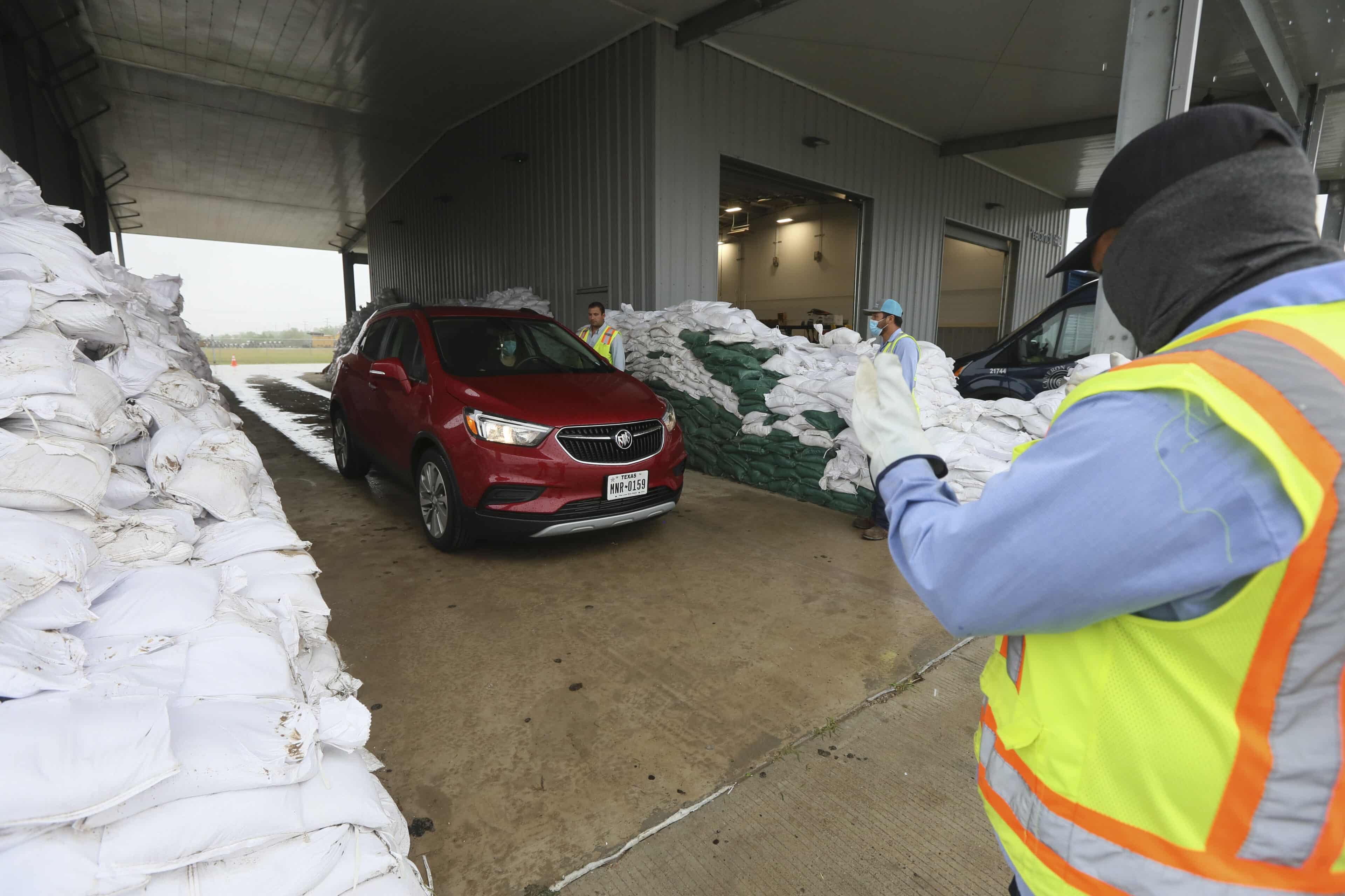
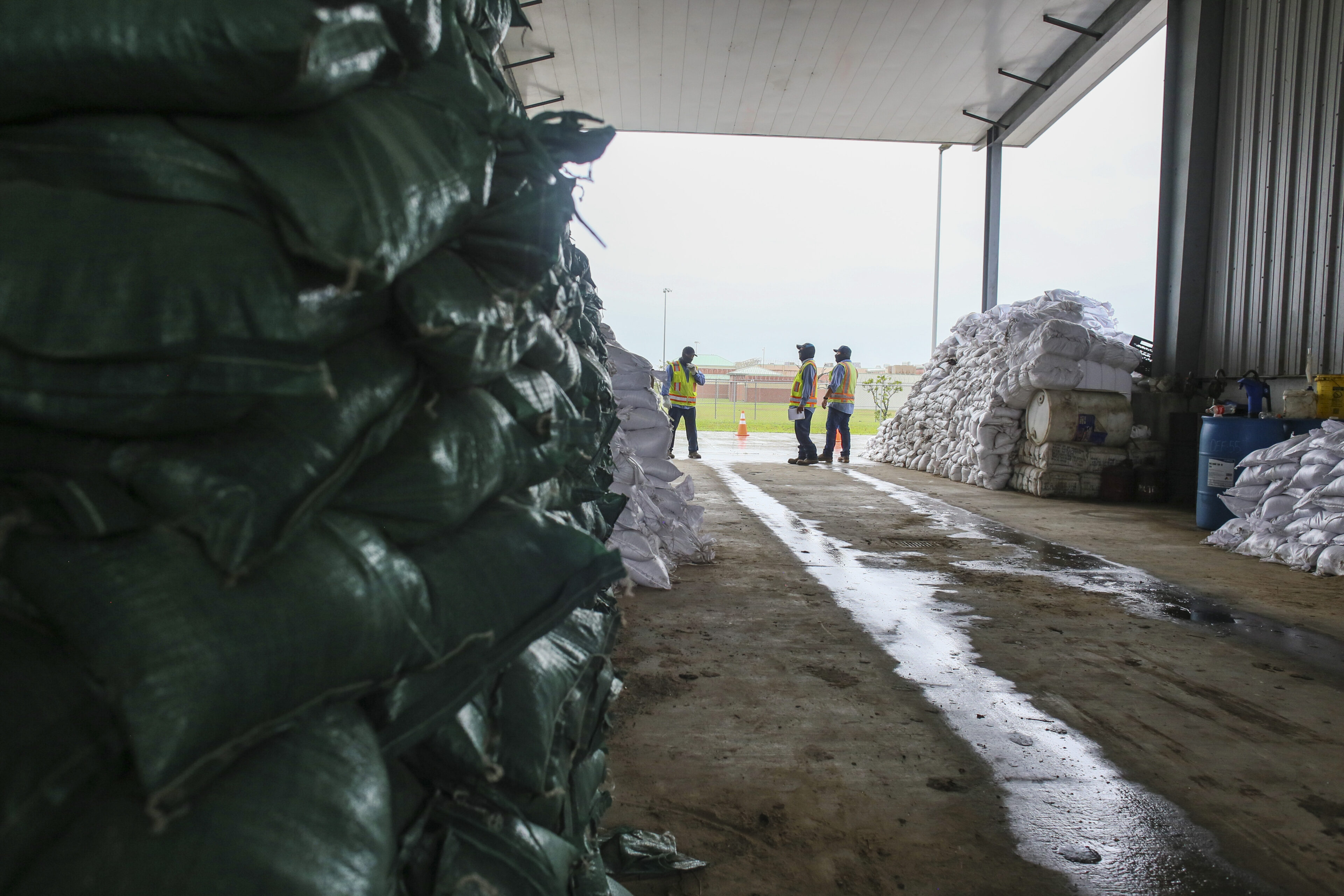
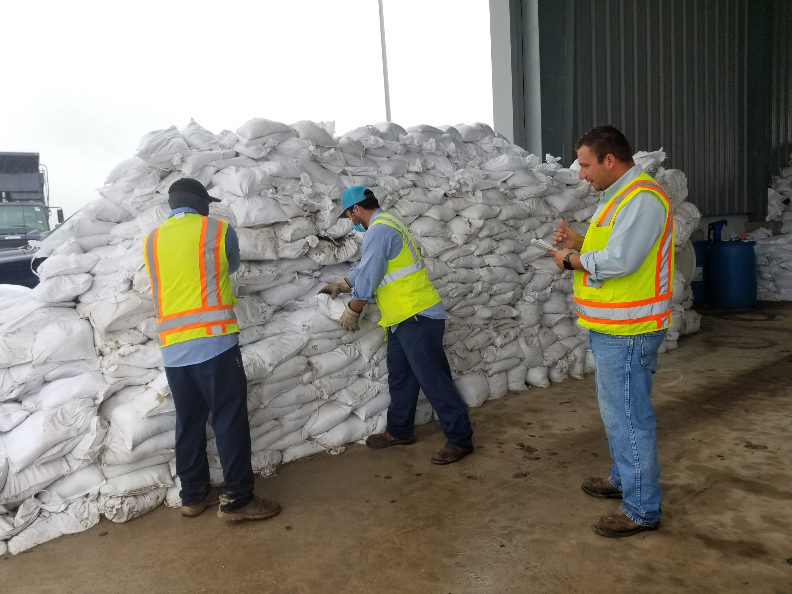
Meanwhile, Edinburg and Mercedes distributed sandbags to their residents.
The McAllen airport recorded over 4 inches of rain Tuesday.
The heaviest rainfall totals Monday through 7 a.m. Wednesday for Cameron County were in excess of 7 inches west of Santa Rosa and Harlingen. Port Mansfield, with 8.1 inches through early Friday, received the lion’s share. NWS was predicting 3 to 4 more inches of rain through Friday for eastern Cameron County, including Brownsville, though localized totals up to 6 inches were possible.
Areas of greatest concern for excessive rainfall and flooding late Wednesday included the West Harlingen, La Feria, Raymondville Santa Rosa and Sebastian areas.
“Fortunately we have not had to issue any flash flood warnings yet (Wednesday), though we have had several flood advisories, a little less severe flooding occurring,” Schroeder said. “But those rainfall rates, which we always stress as kind of the key, have generally stayed in the half-inch to 1-inch-per-hour range, at least over land. The heavier stuff has been out over the Gulf.”
The Rio Grande was expected to crest near San Benito on Friday and in Brownsville over the weekend, he said.
“Both are forecast currently to get into what they call the action stage but stay a little bit below minor flood stage,” Schroeder said.
Monitor reporters Alejandra Yañez and Xavier Alvarez contributed to this report.


