

Fifteen days into the 2021 Atlantic Hurricane season and meteorologists are monitoring two weather systems – one in the Gulf of Mexico and the other in the Atlantic Ocean – that have the chance for further development.
The development in the Gulf could impact parts of Texas while the depression in the Atlantic located off the coast of North Carolina could become Tropical Storm Bill.
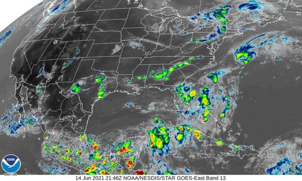
The National Hurricane Center there’s a 70 percent chance of tropical cyclone development in the western Gulf during the next five days. A tropical depression may form later this week as an area of showers and thunderstorms continues to drift over the southwestern Gulf.
The National Weather Service in Brownsville reports the South Texas area could experience the following should the weather system continue to drift over the southwestern Gulf of Mexico:
>>Elevated risks for rip currents
>>Rough surf and elevated swell for the Gulf waters
>>Possible coastal flooding later this week.
Some shower/thunderstorm chances may increase later this week, followed by a potential “heat spike” this weekend, the NWS reports.
Meteorologists say there is still high uncertainty on any additional specifics this far in advance, especially concerning the specific track and eventual intensity of this system.
Nevertheless, the NWS advises residents in South Texas of the following:
>>Remember that we are now within the official Atlantic Hurricane season, which started on June 1.
>>Check your family’s hurricane plan.
>>Take advantage of the favorable (though hot) weather to complete activities such as clearing debris from drainage ditches and checking roof tiles or shingles.
The NWS reports it will continue to provide updates if there is a significant change to the outlook. The Tropical Weather Outlook is updated by NHC every 6 hours at 1 a.m. 7 a.m., 1 p.m. and 7 p.m. each day.


