The Arctic assault that swept through Texas deep into the Rio Grande Valley in mid-February was a very rare but not entirely unprecedented event, as anyone who remembers the hard freezes of 1983, 1989 or even 1951 can attest.
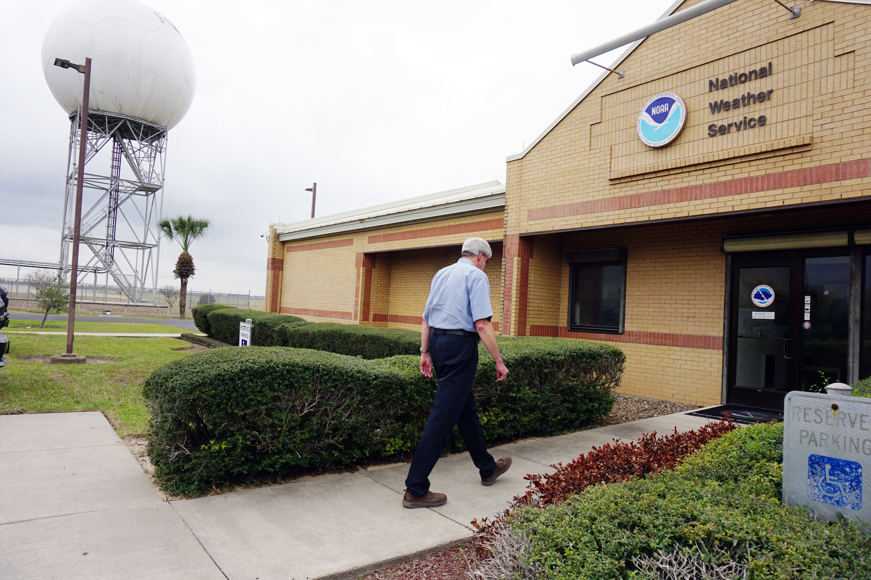
That’s according to Mike Buchanan, meteorologist-in-charge at the National Weather Service Brownsville/RGV station, who said the recent freeze is nevertheless one for the books.
“That was historic, the fact that we had a hard freeze, even here in the Lower Valley,” he said. “We got down into the lower to mid-20s. That’s pretty historic.”
Sleet and freezing rain made the event rarer still, as did the fact that it happened so late in the season compared to previous record setters, Buchanan said.
“One of the all-time freezes is back in 1899 if you can believe it,” he said. “Some of those records still hold today.”
Buchanan said it takes a very particular set of conditions for it to get so cold this far south.
“You have to have the right weather pattern,” he said. “You always have the Arctic air that builds up in the Northwest Territories and the Yukon area. There’s not a lot of sunlight, there’s snowpack and there’s not much solar insolation. So the air is very, very cold up there.”
“Insolation” refers to the amount of solar radiation that reaches a particular area. At any rate, most of the time the jet stream keeps the cold air where it becomes, though for complicated reasons and given the right weather pattern that air “will just slide down,” Buchanan said.
The Rocky Mountains are complicit, it turns out, acting as a sort of chute to send the frigid air barreling straight south.
“When you have that weather pattern, when it basically breaks loose, there’s nothing really to stop it,” he said. “So it’s a lot of factors. That Arctic air is always up there, it’s just usually bottled up.”
Buchanan is using the term “Arctic air” literally. The icy wind that sent temperatures in Austin and San Antonio plunging into single digits may very well have blown across a polar bear on its way to Texas.
“This was really Arctic air,” he said. “In fact they were below zero in the Panhandle. This was basically pure Arctic air with very little modification, if at all, that pushed south.”
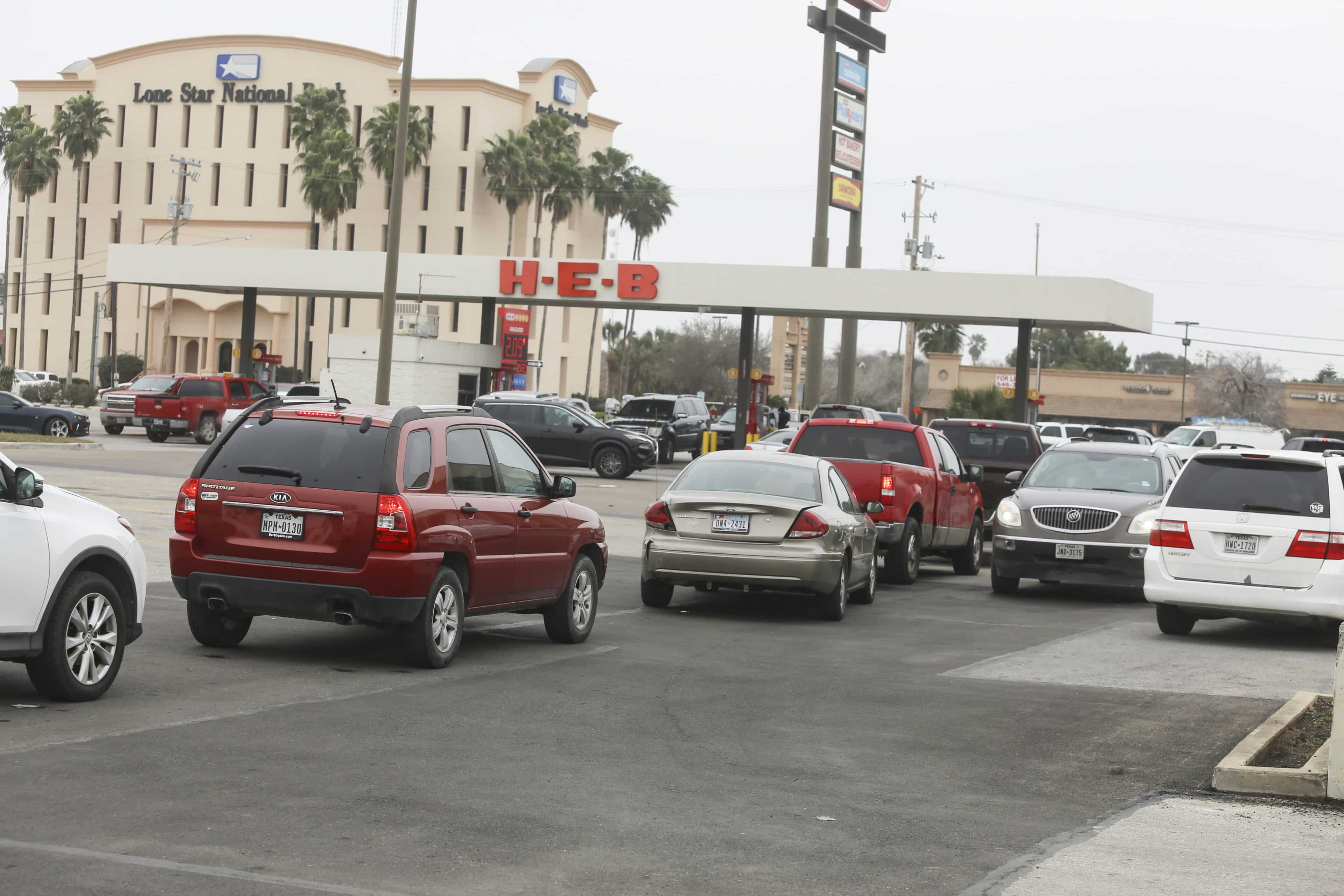
Historic weather events tend to be destructive to life and property and this was no exception. The death toll from the winter storm two weeks ago is still being calculated, meanwhile, catastrophe modelers and insurance industry market analysts estimate Texas insurance losses will be in the $10 billion to $20 billion range. Analyst S&P Global Ratings predicted losses could be comparable to those from Hurricane Harvey, which struck the Texas and Louisiana coast as a Category 4 storm in August 2017.
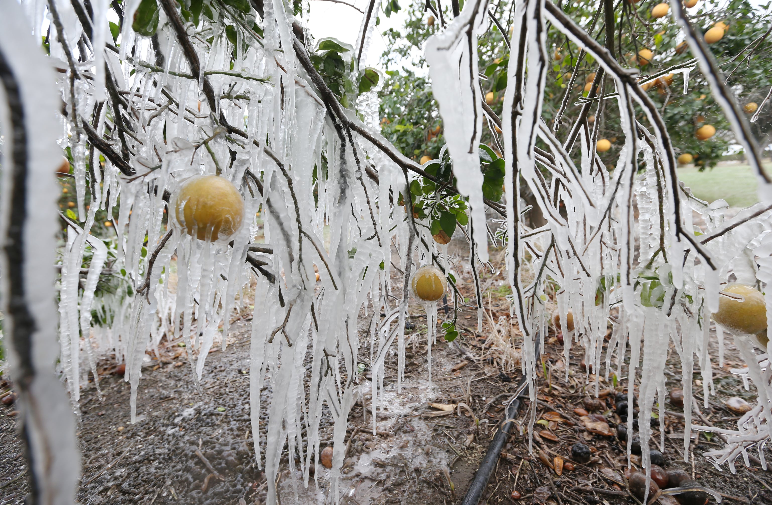
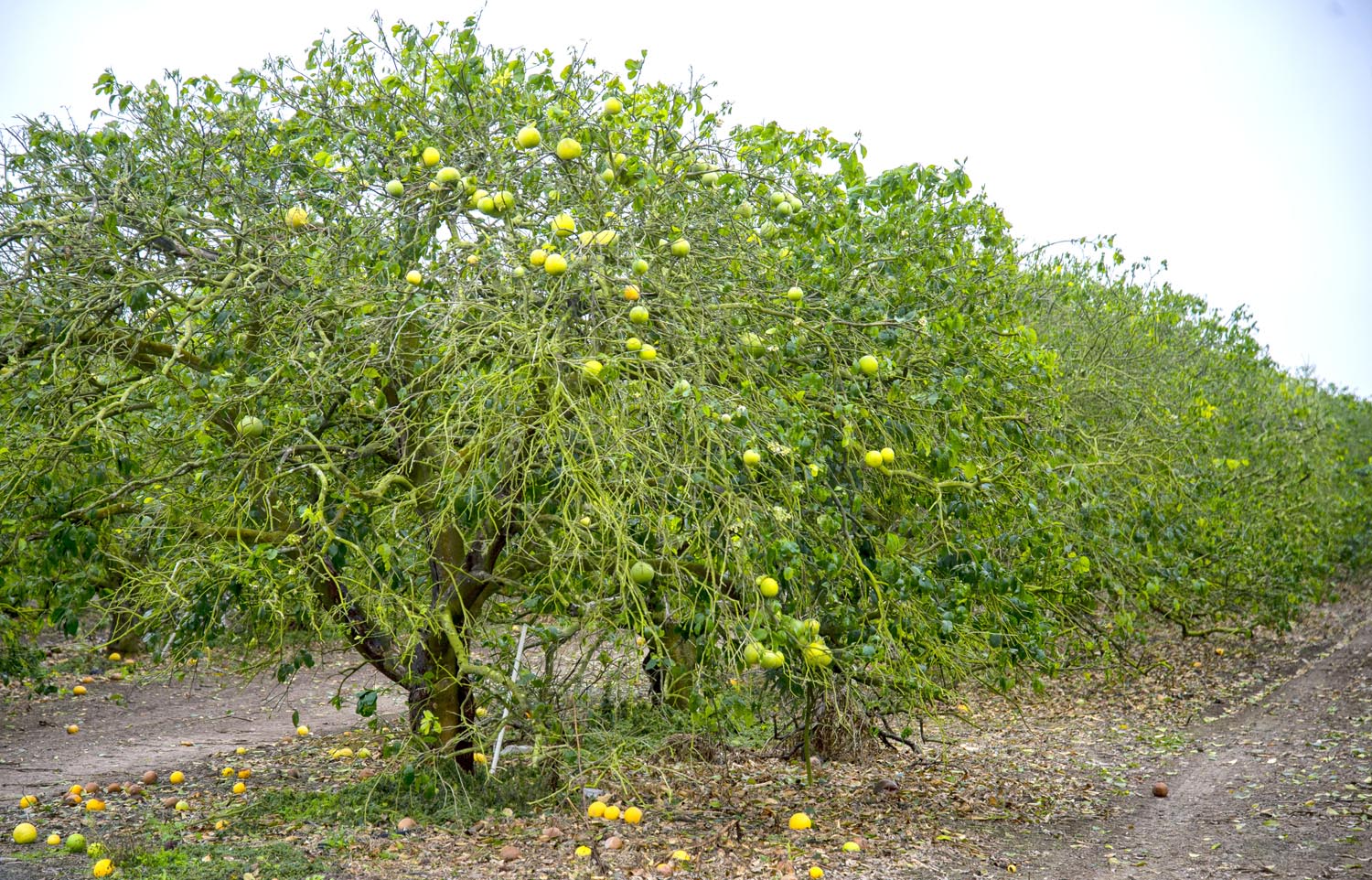
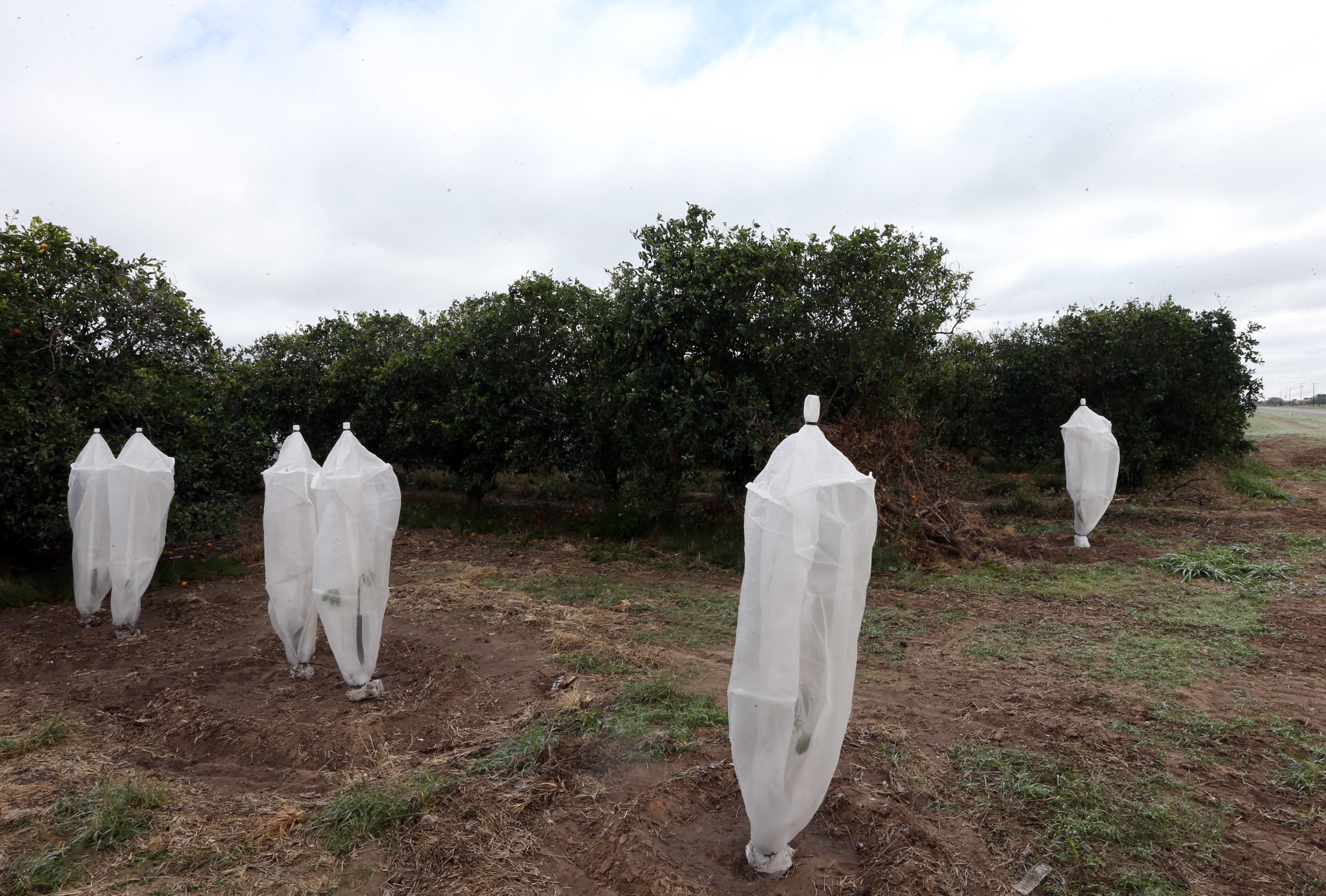
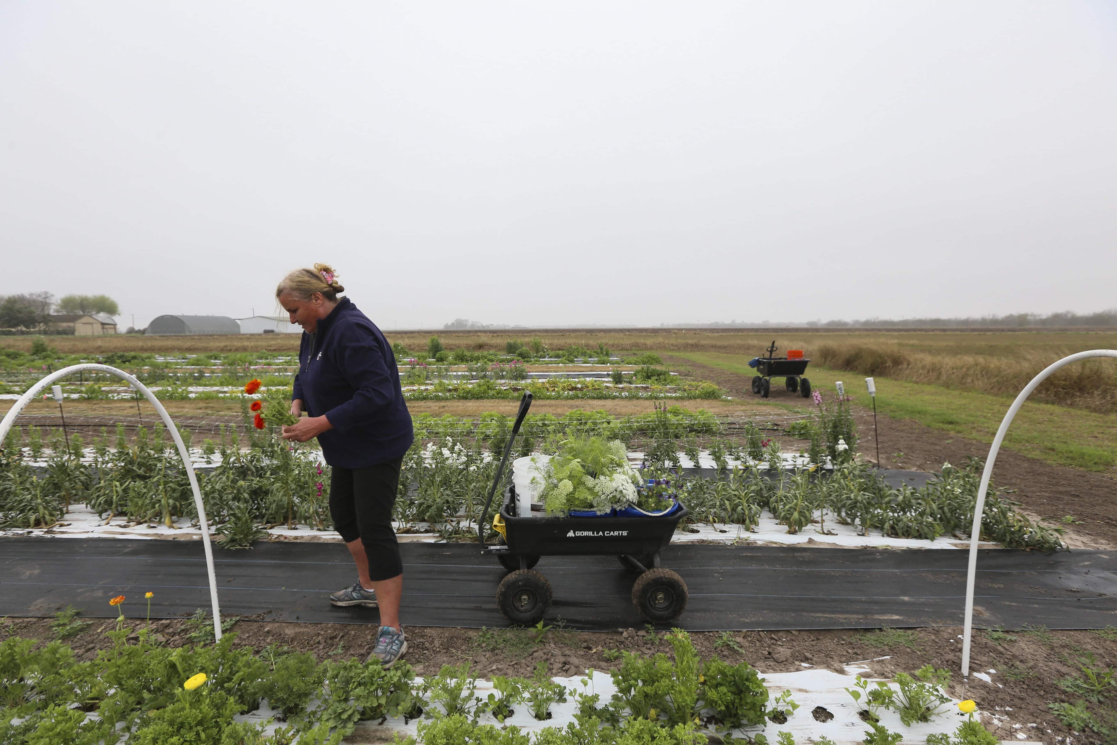
What’s been dubbed the “St. Valentine’s Day Massacre” for Texas produce has resulted in at least $600 million in agricultural losses across the state according to preliminary data from Texas A&M AgriLife Extension Service economists. The Texas Farm Bureau said the weather had a disastrous impact on the Valley citrus industry.
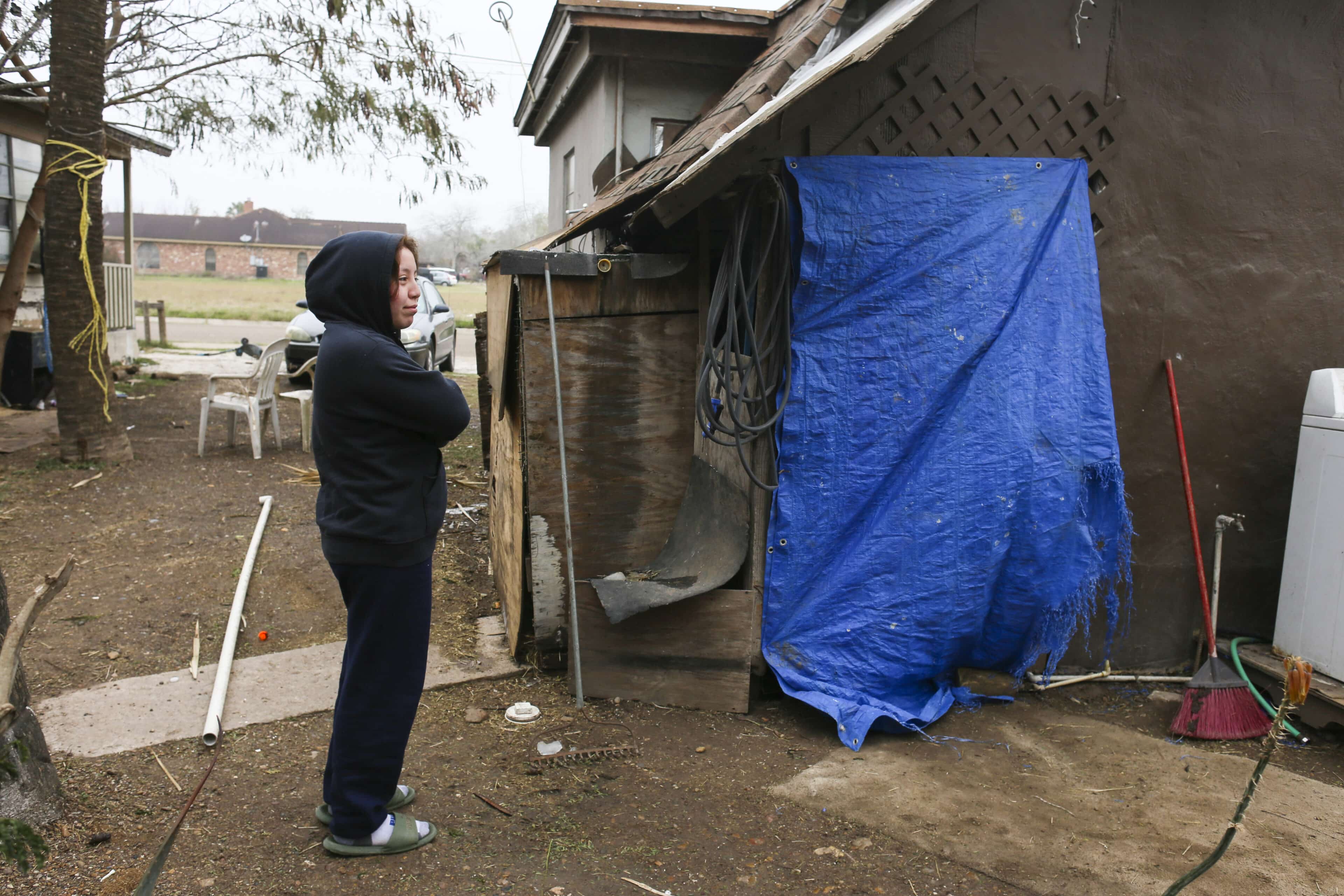
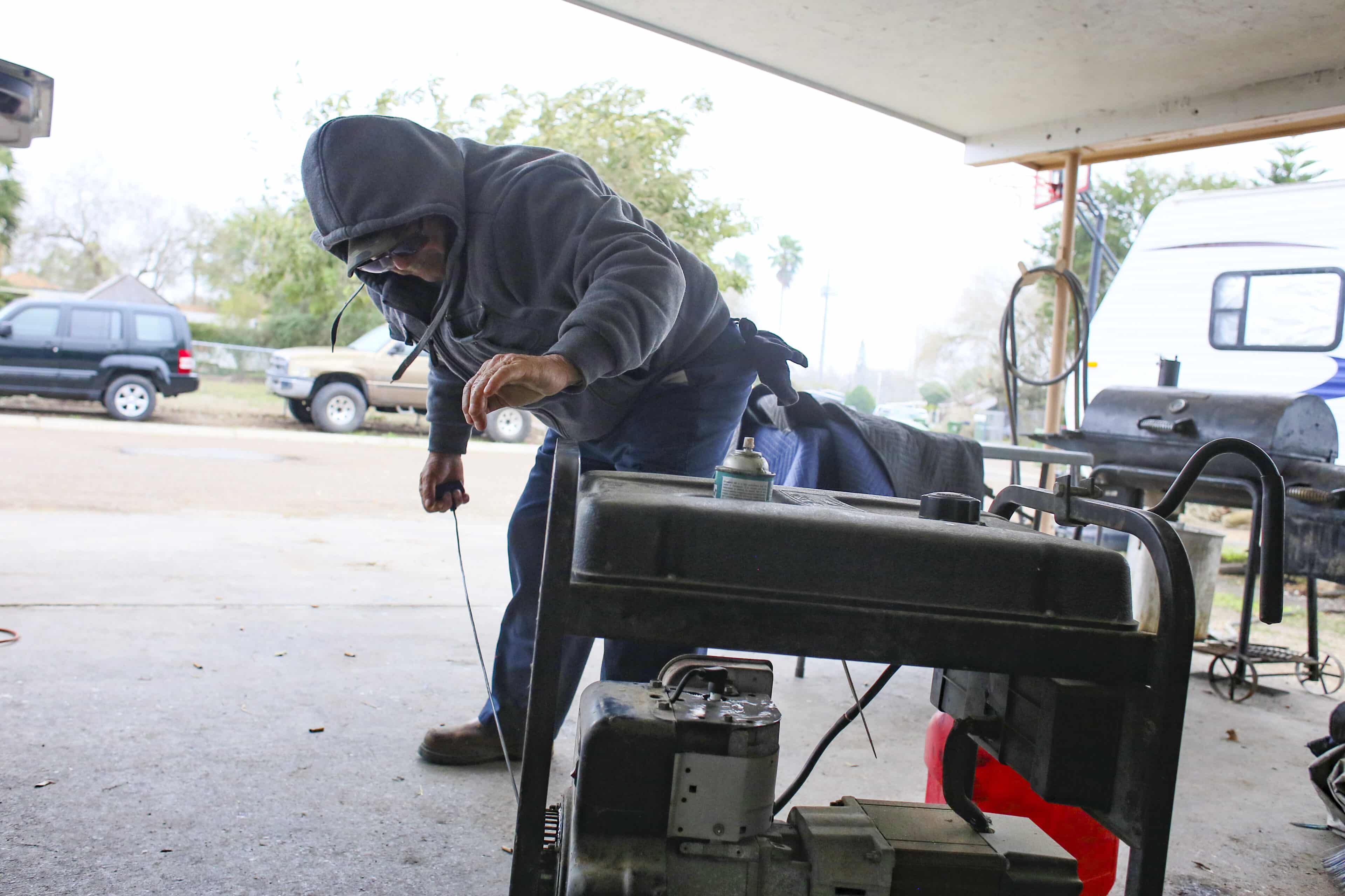
“This is going to be very significant,” Buchanan said. “We didn’t escape from this at all. We had the crop losses, pipes burst, people without water. This is a heavy financial and emotional toll from (February’s) winter weather even down here in the Valley.”