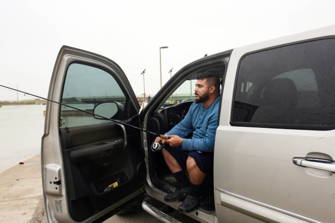
It may be running a little late, but winter is definitely on its way to the Rio Grande Valley, and don’t expect to see the sun for a few days.
Continued precipitation is in the picture through early Monday and there’s even a chance for wintry mix. As far as exactly what to expect beyond cold and wet, it’s complicated, said Brian Mejia, meteorologist with the National Weather Service Brownsville/RGV station.
“We do know that it is going to be pretty chilly and downright cold in the mornings, especially between Sunday night and Tuesday morning,” he said. “That’s when we expect the coldest temperatures to occur.”
The NWS forecast for the Lower Valley indicates temperatures will slide under the freezing mark early Monday and Tuesday morning. Rain chances range between 20 and 50 percent though early Monday, with the sun expected to at least say hello on Tuesday.
As for the frozen or freezing precipitation that could be in store for Monday, Mejia said he feels fairly confident that not everyone in the Valley will see it, if it does happen. In fact, the icy stuff may skip the Lower Valley altogether, he said.
“It’s just going to be limited to northern ranch lands and western parts of the Rio Grande Valley,” Mejia said.
The last time anything frozen came from the sky in the Valley is when snow fell in December 2017. In January 2014 and February 2011, ice storms covered much of the region in a beautiful, treacherous icy glaze. The fact that such things are so rare in the Valley makes it interesting when it does happen — at least if you’re a meteorologist.
Mejia, a Valley native, said his preference is for warm, spring like weather, though he also appreciates the other extreme since it’s such a departure from the usual dashboard-melting summers and mild winters.
“I’ve lived in Oklahoma before,” he said. “I’ve lived in California. I enjoy cold temperatures, especially when there’s snow. It is exciting to have frozen precipitation or freezing precipitation. … It’s always tough to forecast for this area because it doesn’t happen that often. I think it’s pretty exciting overall.”
Those parts of the Valley likely to see the coldest temperature are in for lows in the upper 20s Monday morning and lower 20s Tuesday morning. In the case of Tuesday, some areas of the Valley will experience temperatures well below freezing for several hours. Rising and falling northwesterly winds will make things feel even colder, with a peak wind speed of around 22 mph forecast for Brownsville Monday morning before it begins to taper off dramatically.
Mejia said it’s vital to protect pets, plants and exposed pipes, and of course bundle up when the temperature drops likes it’s about to. It’s also very important to use care with heaters, electric or otherwise. Don’t use fuel-burning outdoor heaters indoors because of the risk of carbon-monoxide poisoning, and keep electric heaters far away from bedding, drapes or other combustible materials. Do not overload electric outlets. Do not turn on the burners on a gas or electric stove to keep warm.
The NWS Brownsville/RGV Facebook and Twitter pages have a checklist with information on how to get through a cold snap safely, Mejia said.
“It’s not going to be as cold as it is up north, but it is going to be significantly cold for this area, so we want people to be as informed as possible,” he said.
Driving the approaching winter blast are upper level systems swinging through the state, the first of which started moving Thursday, Mejia said.
“Then there’s another one coming through on Saturday, then another coming through farther north on Monday,” he said. “Multiple waves of upper level systems are coming through the area. That’s going to keep the chances of precipitation in the forecast.”
Here on the ground it’s causing a pair of cold fronts, the first one arriving in Valley Thursday morning, Mejia said.
“The other one is more a secondary surge of high pressure that’s pushing through the state on Saturday,” he said. “That’s really what’s going to drop the temperatures for the second half of the weekend into early next week.”


