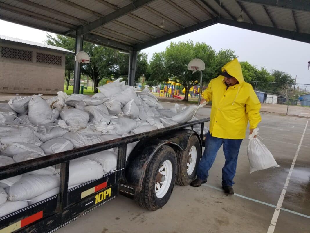
A low-pressure system over West Texas and a weak cool front across deep South Texas combined Tuesday morning to produce locally heavy rainfall in the Rio Grande Valley, with rain in the forecast for the rest of the week.
McAllen received 2.38 inches of rain on Tuesday and recorded a wind gust of 47 mph, the National Weather Service office in Brownsville reported. Rainfall in Edinburg totaled 1.97 inches and Weslaco received 1.7 inches, with higher radar-based rain totals in northern Hidalgo County.
In Cameron County, Brownsville received .15 inches, Harlingen half an inch and the rest of the county similar amounts of generally beneficial rain, NWS said.
“There’s going to be a good chance for rain every day,” with some storms producing brief torrential rains and potential street flooding like what happened Tuesday morning from La Joya to Weslaco, NWS Meteorologist David Reese in Brownsvile said. While it may not rain every day, the chance for rain exists over the period, he said.
The cool front across deep South Texas, which is unusual for this time of the year, caused a line of thunderstorms in Central Texas to move into the Valley early Tuesday morning, NWS Meteorologist Mike Castillo said.
“The front caused a focus for some serious weather, mostly wind and hail with some of the storms,” Castillo said.
The chance for rain on Wednesday is 40%, with a 50% chance on Thursday, 60% on Friday, 50% on Saturday and 20% on Sunday before it starts to dry out, Castillo said.
Reese said rains over the past several weeks had moved Cameron County and the lower Valley out of drought conditions, while drought persists in Starr, northern Hidalgo, Zapata, Jim Hogg and a portion of extreme western Willacy counties.
The past couple weeks have mostly ended drought conditions, with the ground mostly damp but not saturated, he said.


